Aberporth / Aber-porth
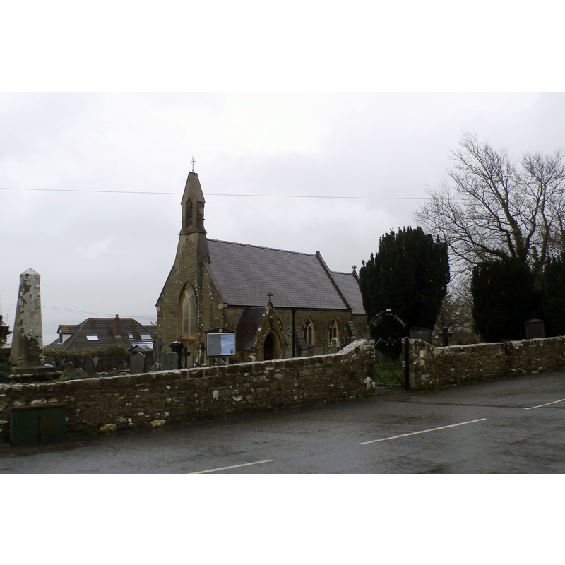
Image copyright © Anthony Parkes, 2016
CC-BY-SA-2.0
Results: 1 records
view of church exterior in context - southwest view
Scene Description: the mid-19thC re-building of a medieval church
Copyright Statement: Image copyright © Anthony Parkes, 2016
Image Source: digital photograph taken 26 March 2016 by Anthony Parkes [www.geograph.org.uk/photo/4881592] [accessed 4 January 2020]
Copyright Instructions: CC-BY-SA-2.0
INFORMATION
Font ID: 12488ABE
Object Type: Baptismal Font1
Font Century and Period/Style: 12th century, Norman
Church / Chapel Name: Parish Church of St. Cynfil [aka St Cynwyl's]
Font Location in Church: [reported in the churchyard ca. 1928]
Church Patron Saint(s): St. Cynfil [aka Cynwyl]
Church Address: 51 Parc Y Plas, Aberporth, Cardigan SA43 2BJ, UK
Site Location: Ceredigion, Wales, United Kingdom
Directions to Site: Located off the B4333, N of the A487, 10 km NE of Cardigan
Ecclesiastic Region: Diocese of St. Davids
Historical Region: formerly Cardiganshire
Additional Comments: disused font? (replaced by a new one and moved to the churchyard in the 1850s)
Font Notes:
Click to view
Evans (1914) reports that the old church described in Lewis' Dictionary as being "of great antiquity" was demolished in 1857 and the old font was discarded and replaced by a Victorian one; the old font, it adds, "has been recovered and placed in the churchyard to the left of the entrance-porch". Listed in Tyrrell-Green (1928) as a font that stands "unused in the churchyard". Thurlby (2006) cites an earlier (1914) article by T-G in which the font appeared illustrated outside the porch. The entry for this church in COFLEIN [https://coflein.gov.uk/en/site/400323/details/st-cynwyls-church-aberporth] [accessed 4 January 2020] notes: "The church was a parish church during the medieval period [...] A font, with square bowl and cylindrical stem, is mounted in the churchyard adjacent to the porch is late medieval in date. [...] The [modern] font dates from the nineteenth century."
COORDINATES
UTM: 30U 393966 5776682
Latitude & Longitude (Decimal): 52.13048, -4.5491
Latitude & Longitude (DMS): 52° 7′ 49.73″ N, 4° 32′ 56.76″ W
MEDIUM AND MEASUREMENTS
Material: stone
Font Shape: square, mounted
Basin Exterior Shape: square
REFERENCES
- Evans, J.T., The Church Plate of Cardiganshire, Stow-in-the-Wold: James H. Halden, 1914, p. [1]-2
- Thurlby, Malcolm, Romanesque architecture and sculpture in Wales, Little Logaston, Woonton, Almeley, Herts.: Logaston Press, 2006, p. 280
- Tyrrell-Green, E., Baptismal Fonts Classified and Illustrated, London: Society for Promoting Christian Knowledge: The Macmillan Co., 1928, p. 40