Lubenham / Lobenho / Lubanham / Lubbenham / Lubeham
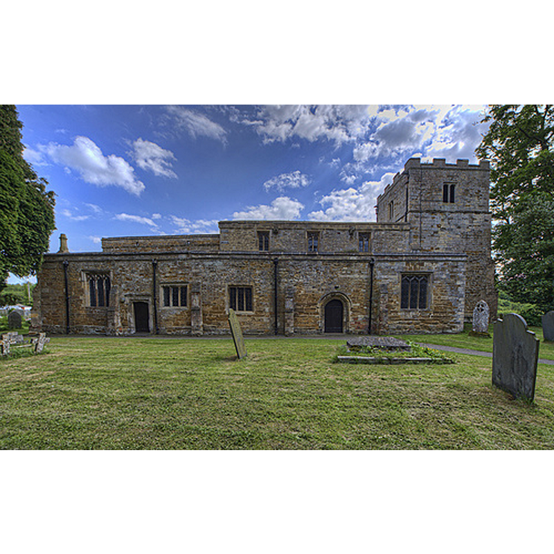
Image copyright © Christopher Jones, 2015
Standing permission
Results: 3 records
view of church exterior - north view
Copyright Statement: Image copyright © Christopher Jones, 2015
Image Source: digital photograph taken by Christopher Jones [www.leicestershirechurches.co.uk/lubenham-church-all-saints/] [accessed 18 August 2015]
Copyright Instructions: Standing permission
view of church exterior - south view
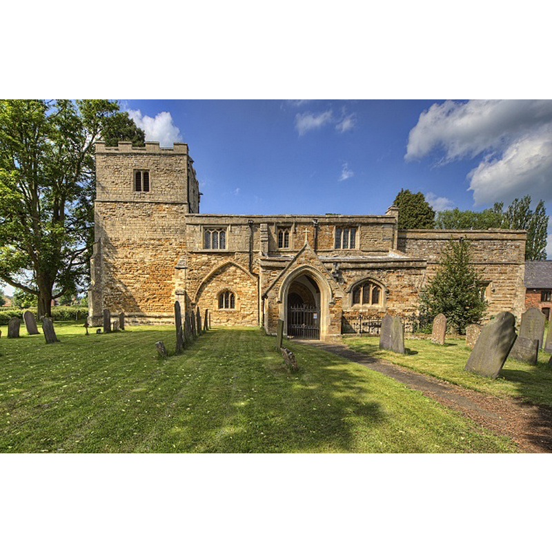
Copyright Statement: Image copyright © Christopher Jones, 2015
Image Source: digital photograph taken by Christopher Jones [www.leicestershirechurches.co.uk/lubenham-church-all-saints/] [accessed 18 August 2015]
Copyright Instructions: Standing permission
view of church interior - nave - looking east
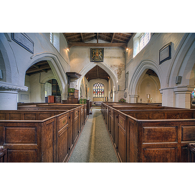
Copyright Statement: Image copyright © Christopher Jones, 2015
Image Source: digital photograph taken by Christopher Jones [www.leicestershirechurches.co.uk/lubenham-church-all-saints/] [accessed 18 August 2015]
Copyright Instructions: Standing permission
INFORMATION
Font ID: 12355LUB
Object Type: Baptismal Font1?
Font Date: ca. 1109?
Font Century and Period/Style: 12th century (early?), Norman
Church / Chapel Name: Parish Church of All Saints
Font Location in Church: [destroyed -- cf. FontNotes]
Church Patron Saint(s): All Saints
Church Address: 3 Church Walk, Lubenham, Leics. LE16 9TN, UK
Site Location: Leicestershire, East Midlands, England, United Kingdom
Directions to Site: Located off the A4304, 3 km WNW of Market Harborough
Ecclesiastic Region: Diocese of Leicester
Historical Region: Hundred of Gartree
Additional Comments: destroyed font (the medieval font, ca. 1812 [cf. FontNotes])
Font Notes:
Click to view
There are four entries for Lubenham [variant spelling] in the Domesday survey [http://opendomesday.org/place/SP7087/lubenham/] [accessed 18 August 2015], neither of which report cleric or church in it. Upcott (1818) lists an illustration of the font in 'Lubbenham' [sic] church. The Victoria County History (Leicestershire, 1964 ) reports: "Lubenham church is first mentioned in 1109, when Robert son of Vitalis, lord of Foxton, gave the church and tithes from his fee in Lubenham to St. Augustine's Priory, Daventry (Northants.) [...] The church [...] is constructed of ironstone dressed with limestone [...] the oldest features, two circular piers in the north arcade of the nave, date from the late 12th century. [...] The present octagonal font dates from the 19th century and has occupied its present site since at least 1849; the medieval font was then said to have been destroyed when alterations were made in 1812."
Credit and Acknowledgements: We are grateful to Christopher Jones, of Leicestershire Churches [www.leicestershirechurches.co.uk], for his photographs of this church
COORDINATES
UTM: 30U 638412 5816077
Latitude & Longitude (Decimal): 52.477272, -0.961957
Latitude & Longitude (DMS): 52° 28′ 38.18″ N, 0° 57′ 43.04″ W
MEDIUM AND MEASUREMENTS
Material: stone
REFERENCES
- Victoria County History [online], University of London, 1993-. URL: https://www.british-history.ac.uk.
- Upcott, William, A bibliographical account of the principal works relating to English topography, London: Printed by Richard and Arthur Taylor, 1818, [vol. II, part II, p. 505] and pl. cxviii. [on the letter-press] / [http://books.google.com/books?id=gLwuAAAAMAAJ&pg=PA228&lpg=PA228&dq=upcott+1818&source=web&ots=lJwT-K00zU&sig=oVT6Kc6G03vqjYf4Synuk_Aek9w#PPP15,M1] [accessed 23 September 2007]