Grendon nr. Castle Ashny/ Crenden / Gredone / Greendon / Grendone / Gryndon
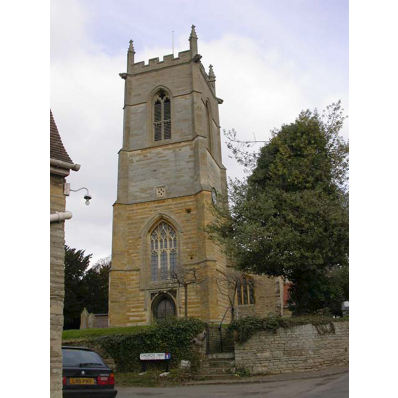
Image copyright © Kokai, 2006
CC-BY-SA-3.0
Results: 2 records
view of church exterior - southwest view
Copyright Statement: Image copyright © Kokai, 2006
Image Source: digital photograph taken 22 March 2006 by Kokai [www.geograph.org.uk/photo/141197] [accessed 4 June 2012]
Copyright Instructions: CC-BY-SA-3.0
view of font and cover

Scene Description: the modern font and cover
Copyright Statement: Image copyright © Dragontree, 2010
Image Source: digital photograph taken in 2010 by Dragontree [www.waymarking.com/waymarks/WM857G_Font_St_Marys_Church_Grendon_Northamptonshire_UK] [accessed 4 June 2012]
Copyright Instructions: PERMISSION NOT AVAILABLE -- IMAGE NOT FOR PUBLIC USE
INFORMATION
Font ID: 12305GRE
Object Type: Baptismal Font1
Font Century and Period/Style: 12th century, Late Norman
Church / Chapel Name: Parish Church of St. Mary the Virgin
Church Patron Saint(s): St. Mary the Virgin
Church Address: Church Way, Grendon, Northamptonshire, NN7 1JE, UK
Site Location: Northamptonshire, East Midlands, England, United Kingdom
Directions to Site: Located 2-3 km SE of Castle Ashby
Ecclesiastic Region: Diocese of Peterborough
Historical Region: Hundred of Wymersley [in Domesday]
Additional Comments: disappeared font(s)? [cf. FontNotes]
Font Notes:
Click to view
There are two entries for this Grendon [variant spelling] in the Domesday survey [http://domesdaymap.co.uk/place/SP8760/grendon/] [accessed 5 December 2014], neither of which mentions cleric or church in it. Mee (1945) notes the font here as modern. The Victoria County History (Northampton, vol. 4, 1937): "The two western pillars and arches of the nave arcades are all that remains of an aisled church of 12th-century date […] Early in the 13th century the church seems to have been reconstructed at its east end and the aisles widened […] There was a partial restoration of the building in 1848 […] The font is modern, but an 18th-century pillar font with small fluted bowl has been converted into a receptacle for alms." The church interior plan illustrated in the VCH entry shows the font located in the west end of the nave, by the tower arch. The present font consists of a square basin with scalloped lower sides, a single medallion-like floral motif on the sides; raised on a plain cylindrical pedestal base, and a round-to-square lower base; the design is chiefly Norman, but the font is modern. The wooden cover is square and flat, with metal decorations and ring handle. [NB: the fabric of this church goes back to the 12th century, but we have no information on the earlier font(s) of this church]
COORDINATES
UTM: 30U 656083 5789614
Latitude & Longitude (Decimal): 52.234787, -0.714288
Latitude & Longitude (DMS): 52° 14′ 5.23″ N, 0° 42′ 51.44″ W
REFERENCES
- Victoria County History [online], University of London, 1993-. URL: https://www.british-history.ac.uk.
- Mee, Arthur, The King's England: Northamptonshire, country of spires and stately homes, London: Hodder & Stoughton, 1945, [http://northamptoncastle.homeip.net/northampton/books/Arthur%20Mee.htm] [accessed 20 October 2006]