Grafton Underwood / Grastone
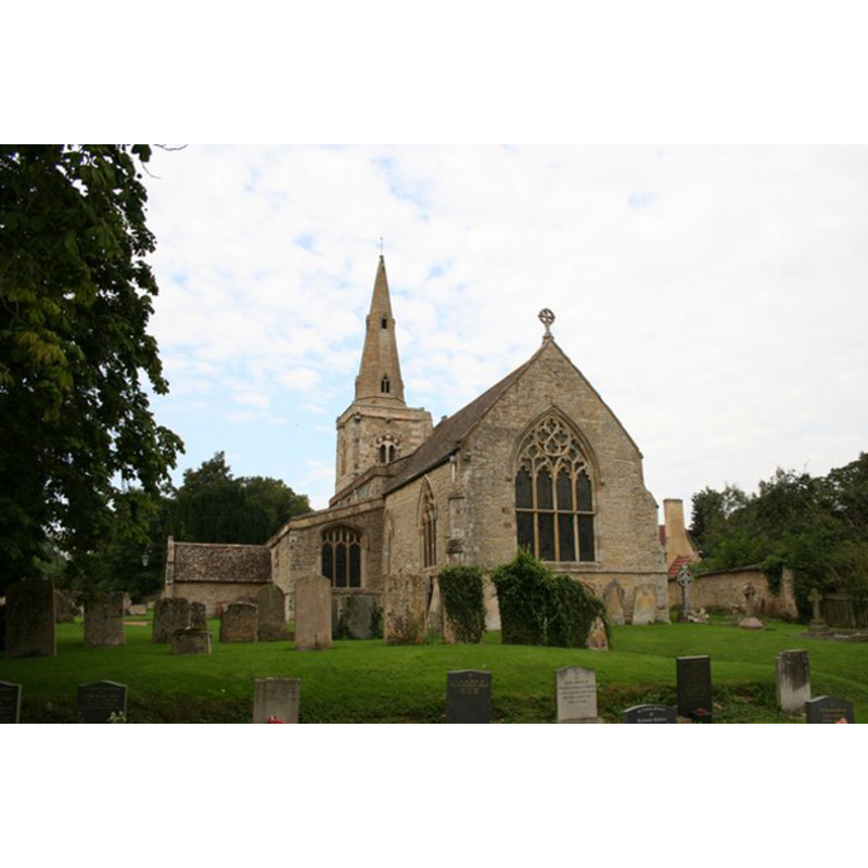
Image copyright © Richard Croft, 2007
CC-BY-SA-2.0
Results: 2 records
view of church exterior - southeast view
Copyright Statement: Image copyright © Richard Croft, 2007
Image Source: digital photograph taken 23 August 2007 by Richard Croft [www.geograph.org.uk/photo/533895] [accessed 23 May 2012]
Copyright Instructions: CC-BY-SA-2.0
view of church interior - nave - looking east
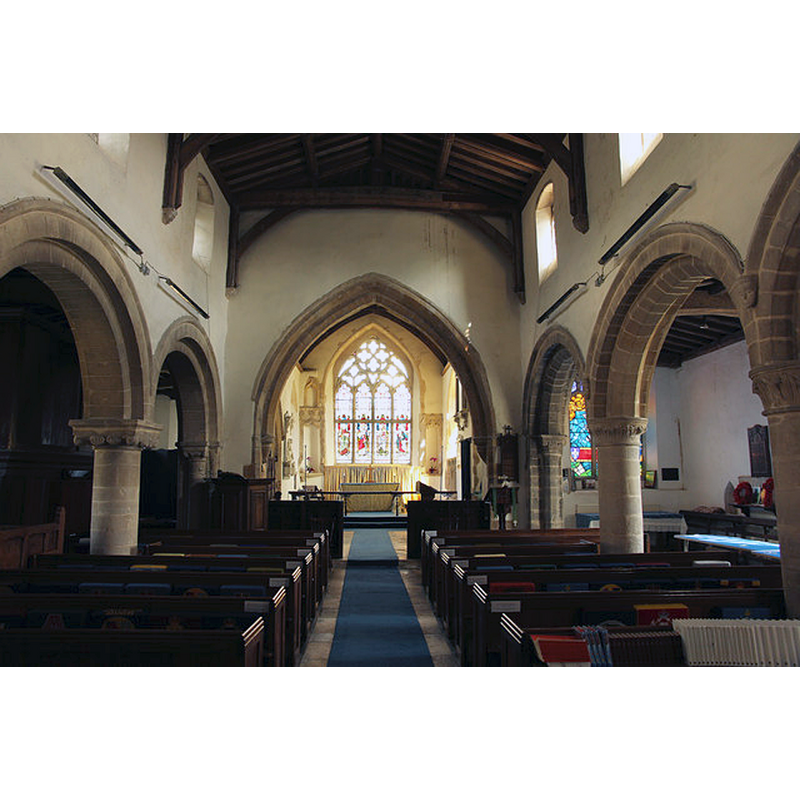
Copyright Statement: Image copyright © Richard Croft, 2014
Image Source: digital photograph taken 3 August 2014 by Richard Croft [www.geograph.org.uk/photo/4112637] [accessed 24 January 2018]
Copyright Instructions: CC-BY-SA-2.0
INFORMATION
Font ID: 12301GRA
Object Type: Baptismal Font1
Font Century and Period/Style: 13th century, Early English
Church / Chapel Name: Parish Church of St. James the Apostle
Font Location in Church: Inside the church
Church Patron Saint(s): St. James
Church Address: Grafton Underwood, Northamptonshire NN14 3AA, UK
Site Location: Northamptonshire, East Midlands, England, United Kingdom
Directions to Site: Located off (E) the A43, N of the A14, 5 km ENE of Kettering
Ecclesiastic Region: Diocese of Peterborough [formerly in the diocese of Lincoln]
Historical Region: Hundred of Navisland [in Domesday] -- Hundred of Huxloe
Additional Comments: disappeared font? (the one from the Domesday-time church here?)
Font Notes:
Click to view
There is are two entries for Grafton [Underwood] in the Domesday survey [http://opendomesday.org/place/SP9280/grafton-underwood/] [accessed 24 January 2018], one of which, lorded in q1066 by Aki "the Dane", and in 1086 by Roger, reports a priest, but not a church, in it, though there probably was one there. Mee (1945) reports a "plain medieval font" here. The Victoria County History (Northampton, vol. 3, 1930) notes: "The earliest work in the present building is the north arcade of the nave, which is of late 12th century date, at which time an aisle was probably first added to an earlier church. [...] The font has a plain 13th-century bowl with curved sides, and a flat Jacobean oak cover with knob handle."
COORDINATES
UTM: 30U 660099 5809505
Latitude & Longitude (Decimal): 52.412313, -0.646058
Latitude & Longitude (DMS): 52° 24′ 44.33″ N, 0° 38′ 45.81″ W
MEDIUM AND MEASUREMENTS
Material: stone
LID INFORMATION
Date: 17th-century? / Jacobean?
Material: wood
Apparatus: no
Notes: [cf. FontNotes]
REFERENCES
- Victoria County History [online], University of London, 1993-. URL: https://www.british-history.ac.uk.
- Mee, Arthur, The King's England: Northamptonshire, country of spires and stately homes, London: Hodder & Stoughton, 1945, [http://northamptoncastle.homeip.net/northampton/books/Arthur%20Mee.htm] [accessed 19 October 2006]