Humberstone / Humerstane
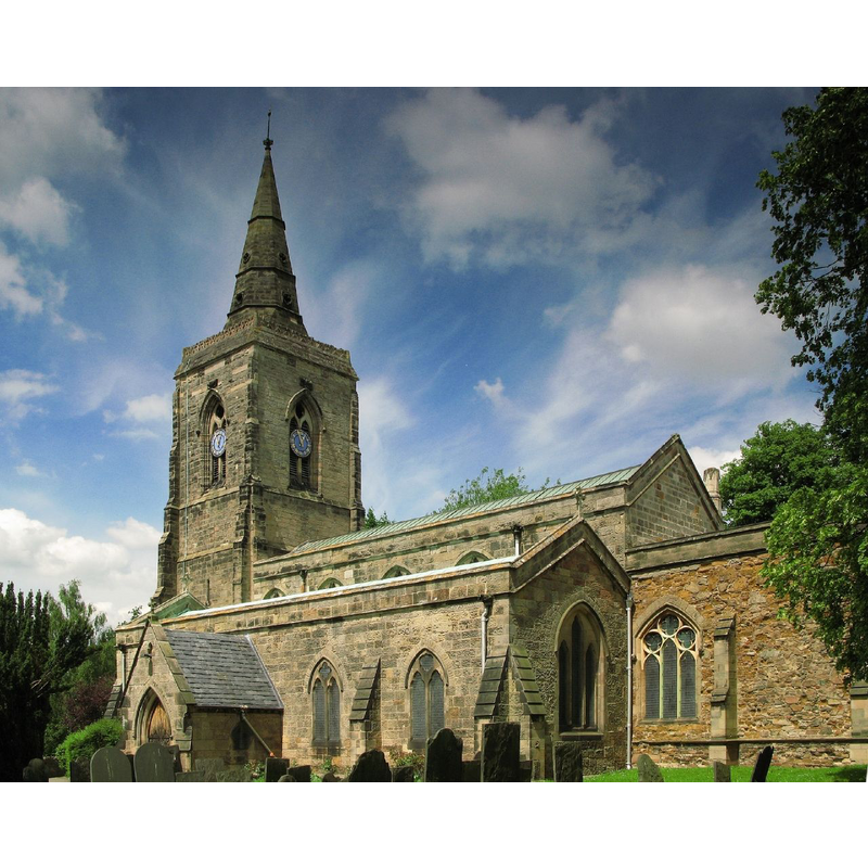
Image copyright © Dave, 2008
CC-BY-SA-2.0
Results: 1 records
view of church exterior - southeast view
Copyright Statement: Image copyright © Dave, 2008
Image Source: digital photograph taken 4 June 2008 by Dave [https://commons.wikimedia.org/wiki/File:Humberstone_church_Leicester.jpg] [accessed 3 September 2015]
Copyright Instructions: CC-BY-SA-2.0
INFORMATION
Font ID: 12253HUM
Object Type: Baptismal Font1
Font Century and Period/Style: 14th century, Decorated
Church / Chapel Name: Parish Church of St. Mary
Font Location in Church: [cf. FontNotes]
Church Patron Saint(s): St. Mary the Virgin
Church Address: Main Street, Lidster Close, Humberstone, Leicestershire, LE5 1AE, UK
Site Location: Leicestershire, East Midlands, England, United Kingdom
Directions to Site: Located off (W) the A563, 4 km E of Leicester city centre
Ecclesiastic Region: Diocese of Leicester
Historical Region: Hundred of Goscote
Additional Comments: disappeared font: the original font of the Decorated-period church
Font Notes:
Click to view
There is an entry for Humberstone [variant sperlling] in the Domesday [http://opendomesday.org/place/SK6205/humberstone/] [accessed 3 September 2015], but it mentions neither cleric nor church in it. The Victoria County History (Leicester, vol. 4, 1958) notes: "No church is mentioned in Humberstone until the early 13th century [...] Of the original 13th-century church, little remains but the tower and parts of the outer walls, more especially in the chancel. [...] The font dates from the last century and stands at the west end. The Early English font was destroyed in 1857–8 but was pieced together and, after standing for a short time in a Humberstone garden, was taken in 1911 to Little Dalby Hall." [NB: this last phrase in the VCH is footnoted: "Kendall, Humberstone, 12; inf. from Mr. C. Bramley. Although Little Dalby Hall was demolished in 1951 it proved impossible to restore the font to Humberstone, and it was still in the grounds of Little Dalby Hall in 1955: T.L.A.S. xxxi. 65."]. A late font here is described in Pevsner (1984): "Font [...] alabaster, with a rich band of undercut foliage." [NB: the present font appears to date from the major rebuilding of this church by "Raphael Brandon in 1857-8", but there must have been an earlier font dating from the fabric of the original 14th-century church]
COORDINATES
UTM: 30U 630888 5835539
Latitude & Longitude (Decimal): 52.6479, 1.0758
Latitude & Longitude (DMS): 52° 38′ 52″ N, 1° 4′ 32″ W
REFERENCES
- Pevsner, Nikolaus, Leicestershire and Rutland, Harmondsworth: Penguin Books, 1984, p. 272