Ashby-de-la-Zouch / Ascebi / Asby de la Zouch
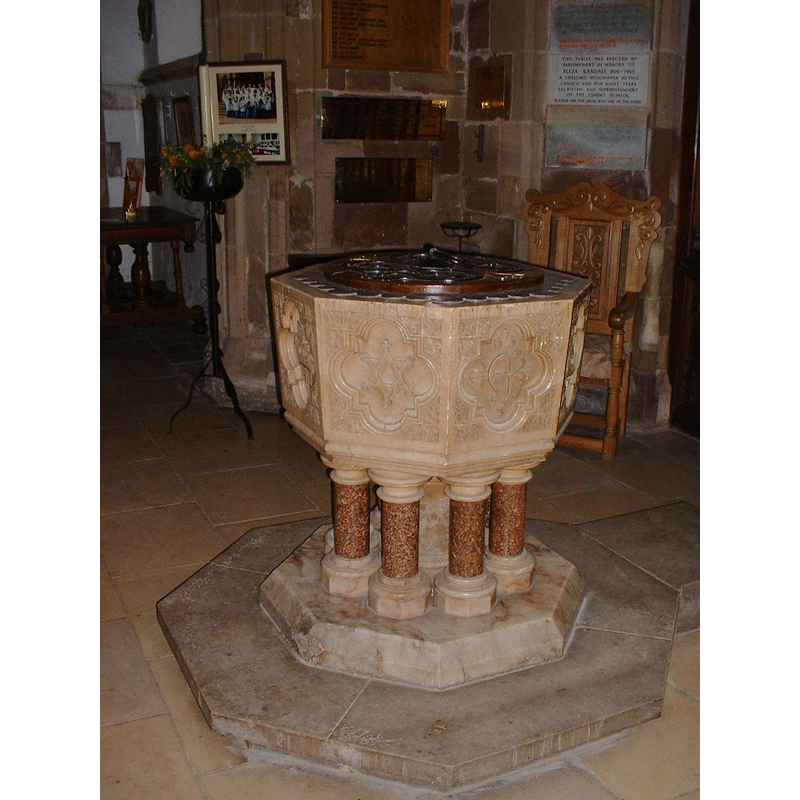
Image copyright © Colin Hyde, 2006
Image and permission received (e-mail of 15 January 2007)
Results: 6 records
view of font and cover
Scene Description: the new font
Copyright Statement: Image copyright © Colin Hyde, 2006
Image Source: digtal photograph by Colin Hyde [www.le.ac.uk/emoha]
Copyright Instructions: Image and permission received (e-mail of 15 January 2007)
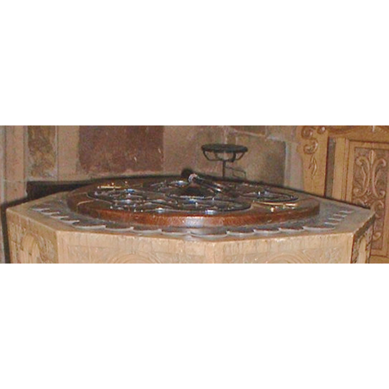
view of basin
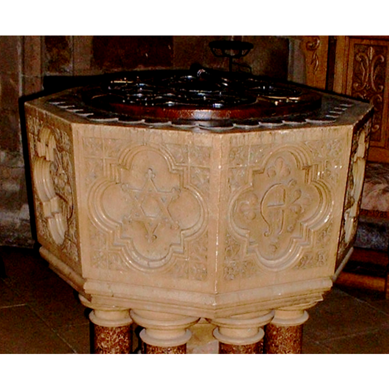
Scene Description: the new font
Copyright Statement: Image copyright © Colin Hyde, 2006
Image Source: detail of a digtal photograph by Colin Hyde [www.le.ac.uk/emoha]
Copyright Instructions: Image and permission received (e-mail of 15 January 2007)
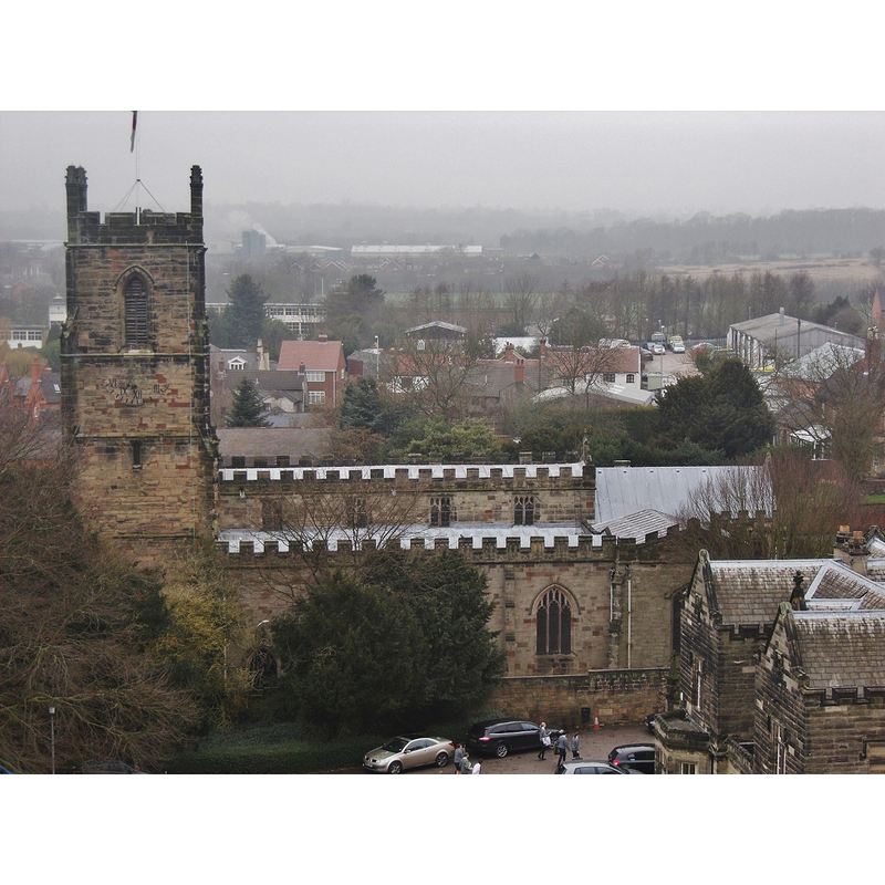
view of church exterior - south view
Copyright Statement: Image copyright © Peter Broster, 2011
Image Source: digital photograph taken 17 February 2011 by Peter Broster [https://commons.wikimedia.org/wiki/File:St_Helens_(8062003931).jpg] [accessed 24 July 2015]
Copyright Instructions: CC-BY-SA-3.0
view of church exterior in context - south view
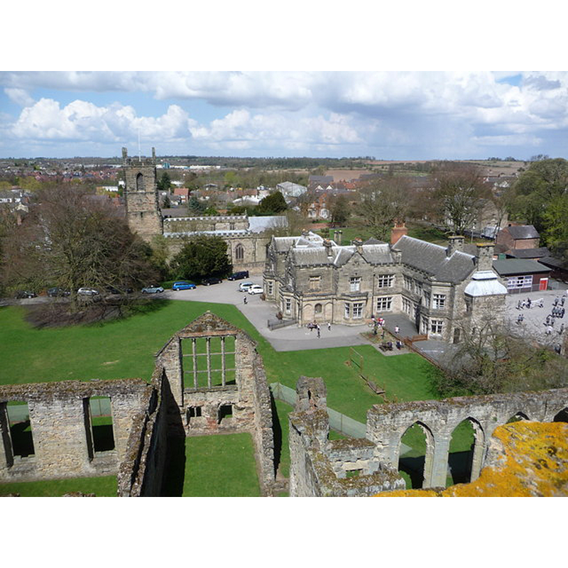
Scene Description: Source caption: "Ashby-de-la-Zouch: St. Helen’s church from the castle. Looking from the top of the castle tower, across other castle buildings towards the parish church of St. Helen. Also prominent is Manor House School, an independent school housed in a Victorian manor house."
Copyright Statement: Image copyright © Chris Downer, 2013
Image Source: digital photograph taken 26 April 2013 by Chris Downer [www.geograph.org.uk/photo/3454202] [accessed 24 July 2015]
Copyright Instructions: CC-BY-SA-2.0
view of church interior - nave - looking east
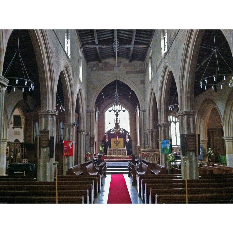
Copyright Statement: Image copyright © Andrewrabbott, 2011
Image Source: digital photograph taken 21 August 2011 by Andrewrabbott [https://commons.wikimedia.org/wiki/File:The_nave,_St_Helen's_Church,_Ashby-de-la-Zouch.jpg] [accessed 24 July 2015]
Copyright Instructions: CC-BY-SA-3.0
view of font cover
Scene Description: on the new font
Copyright Statement: Image copyright © Colin Hyde, 2006
Image Source: detail of a digtal photograph by Colin Hyde [www.le.ac.uk/emoha]
Copyright Instructions: Image and permission received (e-mail of 15 January 2007)
INFORMATION
Font ID: 12179LEI
Object Type: Baptismal Font1?
Font Century and Period/Style: 11th century, Pre-Conquest? / Norman
Church / Chapel Name: Parish Church of St. Helen
Font Location in Church: [cf. FontNotes]
Church Patron Saint(s): St. Helena
Church Notes: church here in 1086; present church 15thC
Church Address: Lower Church St, Ashby-de-la-Zouch LE65 1AA, United Kingdom -- Tel.: +44 1530 414404
Site Location: Leicestershire, East Midlands, England, United Kingdom
Directions to Site: Located at the crossroads A42-A50, 25 km WNW of Leicester
Ecclesiastic Region: Diocese of Leicester
Historical Region: Hundred of Goscote
Additional Comments: disappeared font? (the font from the Domesday-time church here)
Font Notes:
Click to view
There is an entry for Ashby [-de-la-Zouch] [variant spelling] in the Domesday survey [http://opendomesday.org/place/SK3616/ashby-de-la-zouch/] [accessed 24 July 2015]; ir mentions a priest, but not a church, in it, though there probably was one in it. Upcott (1818) notes and illustrates a font [image not available at present] which was probably the earlier font in this church [cf. infra]. Noted in Pevsner (1984) as a "lavish alabaster" baptismal font by Earp [i.e., Thomas Earp (1828-1893) noted sculptor of Victorian England], dating from 1878-1880. [NB: Pevsner does not record any other font in this church]. Chris Jones [www.leicestershirechurches.co.uk/ashby-de-la-zouch-st-helen/] [accessed 24 July 2015] notes: "The pulpit and font also date to the Victorian restoration although there is also an earlier font within the church." The Earp font [cf. supra] is located at the west end of the nave, by the tower arch; the other font, also modern, is located in the south aisle, in the southwest corner.
Credit and Acknowledgements: We are grateful to Colin Hyde, of the East Midlands Oral History Archive [www.le.ac.uk/emoha], and to Christopher Jones, of Leicestershire Churches [www.leicestershirechurches.co.uk], for their photographs of this church and font
COORDINATES
UTM: 30U 603960 5845295
Latitude & Longitude (Decimal): 52.7475, -1.459833
Latitude & Longitude (DMS): 52° 44′ 51″ N, 1° 27′ 35.4″ W
MEDIUM AND MEASUREMENTS
Material: stone
REFERENCES
- Pevsner, Nikolaus, Leicestershire and Rutland, Harmondsworth: Penguin Books, 1984, p. 79
- Upcott, William, A bibliographical account of the principal works relating to English topography, London: Printed by Richard and Arthur Taylor, 1818, [vol. III, part II, p. 516 and pl. lxxxii / [http://books.google.com/books?id=gLwuAAAAMAAJ&pg=PA228&lpg=PA228&dq=upcott+1818&source=web&ots=lJwT-K00zU&sig=oVT6Kc6G03vqjYf4Synuk_Aek9w#PPP15,M1] [accessed 29 September 2007]