Colne nr. Somersham / Collen / Colneye
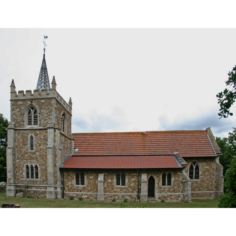
Image copyright © TheRevSteve, 2011
CC-BY-SA-3.0
Results: 3 records
view of church exterior - south view
Scene Description: the modern church [cf. FontNotes]
Copyright Statement: Image copyright © TheRevSteve, 2011
Image Source: digital photograph taken 10 June 2011 by TheRevSteve [www.flickr.com/photos/therevsteve/6481487211/] [accessed 20 April 2012]
Copyright Instructions: CC-BY-SA-3.0
view of church exterior
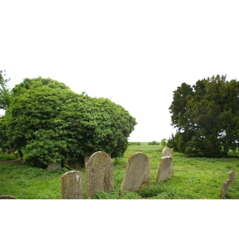
Scene Description: the ruins of the old church, practically hidden in the overgrowth, and the old churchyard
Copyright Statement: Image copyright © Fractal Angel, 2007[in the public domain]
Image Source: digital photograph taken 23 May 2007 by Fractal Angel [www.geograph.org.uk/photo/443934] [accessed 20 April 2012]
Copyright Instructions: CC-BY-SA-3.0
view of church interior - detail
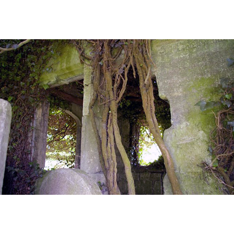
Copyright Statement: Image copyright © James Yardley, 2007
Image Source: digital photograph taken 23 May 2007 by James Yardley [www.geograph.org.uk/photo/2157592] [accessed 20 April 2012]
Copyright Instructions: CC-BY-SA-3.0
INFORMATION
Font ID: 12159COL
Object Type: Baptismal Font1
Font Century and Period/Style: 14th century, Decorated
Church / Chapel Name: Parish Church of St. Helen [originally from old St Helen's]
Font Location in Church: [cf. FontNotes]
Church Patron Saint(s): St. Helena
Church Address: 6 Drury Lane, Colne, Cambridgeshire, PE28 3NU
Site Location: Cambridgeshire, East, England, United Kingdom
Directions to Site: Located 3-4 km SSE of Somersham, 9 km NE of St Ives, 24 km N of Cambridge
Ecclesiastic Region: Diocese of Ely
Historical Region: formerly Huntingdonshire -- Hundred of Hurstingstone
Additional Comments: recycled font: originally from the old destroyed church; installed in the new church -- disappeared font? (the one from the 13thC church here?) -- "Colne" is pronounced like 'cone'
Font Notes:
Click to view
The Victoria County History (Huntingdonshire, vol. 2, 1932) entry for the old St Helen's church notes: "The south wall of the chancel and the two eastern responds of the nave arcades were of the 13th century. The rest of the church was mainly of 14th-century date [...] The font was a plain octagonal bowl probably of 14th-century date, on a circular shaft." This same source reports that, after the tower collapsed on 24 April 1896 "and practically destroyed the church, [...] a new church was built on another site, [...] but a few ancient stones have been reused in places. The ancient font remains".
COORDINATES
UTM: 31U 296409 5805288
MEDIUM AND MEASUREMENTS
Material: stone
Font Shape: octagonal, mounted
Basin Interior Shape: round
Basin Exterior Shape: octagonal
REFERENCES
- Victoria County History [online], University of London, 1993-. URL: https://www.british-history.ac.uk.