Puttenham / Puteham / Puttanho / Puttingham / Puttnam
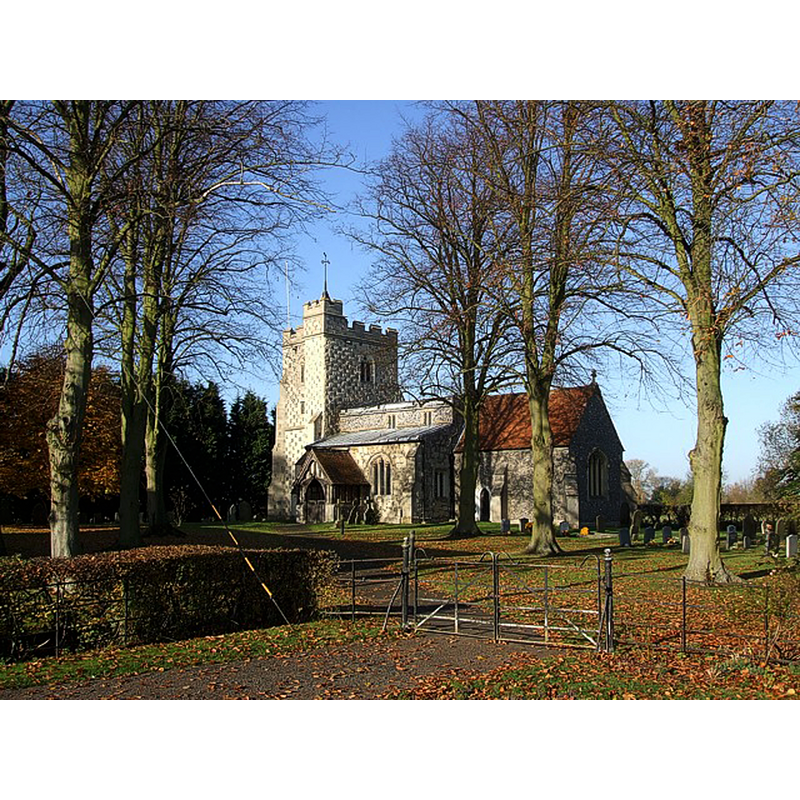
Image copyright © Rob Farrow, 2007
CC-BY-SA-2.0
Results: 2 records
view of church exterior - southeast view
Copyright Statement: Image copyright © Rob Farrow, 2007
Image Source: digital photograph taken 10 November 2007 by Rob Farrow [www.geograph.org.uk/photo/606075] [accessed 21 April 2015]
Copyright Instructions: CC-BY-SA-2.0
view of church interior - nave - looking east
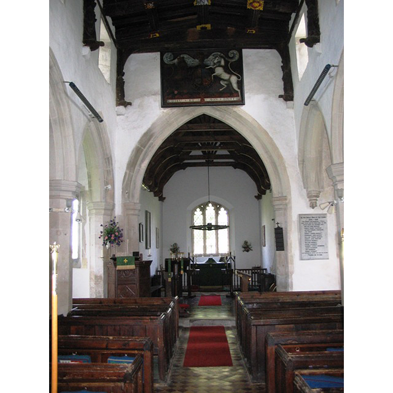
Copyright Statement: Image copyright © Chris Reynolds, 2006
Image Source: digital photograph taken 9 September 2006 by Chris Reynolds [www.geograph.org.uk/photo/1198287] [accessed 21 April 2015]
Copyright Instructions: CC-BY-SA-2.0
INFORMATION
Font ID: 11972PUT
Object Type: Baptismal Font1
Font Century and Period/Style: 14th century, Medieval
Church / Chapel Name: Parish Church of St. Mary
Font Location in Church: Inside the church, in the W end
Church Patron Saint(s): St. Mary the Virgin
Church Address: Church Lane, Puttenham, Hertfordshire, HP23 4PR [Blackmore Gate, Tring Rural]
Site Location: Hertfordshire, East, England, United Kingdom
Directions to Site: Located 5 km NW of Tring, ENE of Aylesbury
Ecclesiastic Region: Diocese of St. Albans [formerly in the diocese of Lincoln]
Additional Comments: altered font (re-cut medieval [cf. FontNotes]) -- disappeared font? (the one from the original church here?)
Font Notes:
Click to view
There is an entry for Puttenham [variant spelling] in the Domesday survey [http://opendomesday.org/place/SP8814/puttenham/] [accessed 20 April 2015], but it mentions neither cleric nor church in it. A 1832 drawing of this font by J.C. Buckler is reported at the Hertfordshire Archives and Local Studies [Ref.: D/Z119/4/470C]. The Victoria County History (Hertford, vol. 2, 1908) notes: "The church of Puttenham was held by the priors and canons of Canons Ashby [...] until 1309, when they granted it to the bishop of Lincoln. [...] Cussans suggests that the church was probably built by the family of la Zouche, who were liberal benefactors to the priory of Ashby, and bestowed by them upon the priory. [...] No features now existing appear to be older than the fourteenth century, though the small nave with its proportion of two squares suggests an earlier aisleless building, the chancel of which was superseded by that now existing. [...] The font, at the west end of the nave, has a plain circular bowl, stem and base, but has lost its old surface and any definite marks of its age. It has a flat cover with a turned seventeenth-century finial." Noted in the Royal Commission on Historical Monuments, Hertfordshire (1911): "Font: plain circular bowl, no detail; cover 17th-century." The English Heritage entry for this church [Listing NGR: SP8852014927] notes: "Stone font with plain circular bowl, stem and base, medieval re-cut and C17 wooden cover."
COORDINATES
UTM: 30U 657359 5744139
Latitude & Longitude (Decimal): 51.825892, -0.716529
Latitude & Longitude (DMS): 51° 49′ 33.21″ N, 0° 42′ 59.5″ W
MEDIUM AND MEASUREMENTS
Material: stone
Font Shape: round, mounted
Basin Interior Shape: round
Basin Exterior Shape: round
REFERENCES
- Victoria County History [online], University of London, 1993-. URL: https://www.british-history.ac.uk.
- Great Britain. Royal Commission on Historical Monuments (England), An Inventory of the Historical Monuments in Hertfordshire, London: Printed for His Majesty's Stationary Office by J. Truscott, 1911, p. 166