Stapleford nr. Hertford / Stapelford / Stapilford-by-Watton
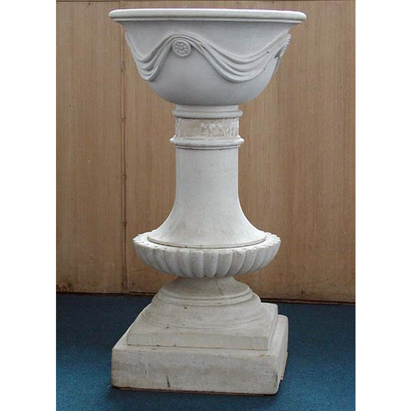
Image copyright © John Salmon, 2007
CC-BY-SA-2.0
Results: 3 records
view of font
Scene Description: the 18thC font [cf. FontNotes]
Copyright Statement: Image copyright © John Salmon, 2007
Image Source: edited detail of a digital photograph taken 14 June 2003 by John Salmon [www.geograph.org.uk/photo/355395] [accessed 22 June 2016]
Copyright Instructions: CC-BY-SA-2.0
view of church exterior
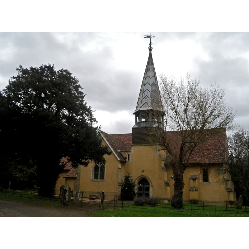
Scene Description: Source caption: "St Mary the Virgin, Stapleford. Built in C12 but restored and enlarged in 1874. The tower was added at this time."
Copyright Statement: Image copyright © Bikeboy, 2014
Image Source: digital photograph taken 22 December 2014 by Bikeboy [www.geograph.org.uk/photo/4287570] [accessed 22 June 2016]
Copyright Instructions: CC-BY-SA-2.0
view of church interior - nave - looking east
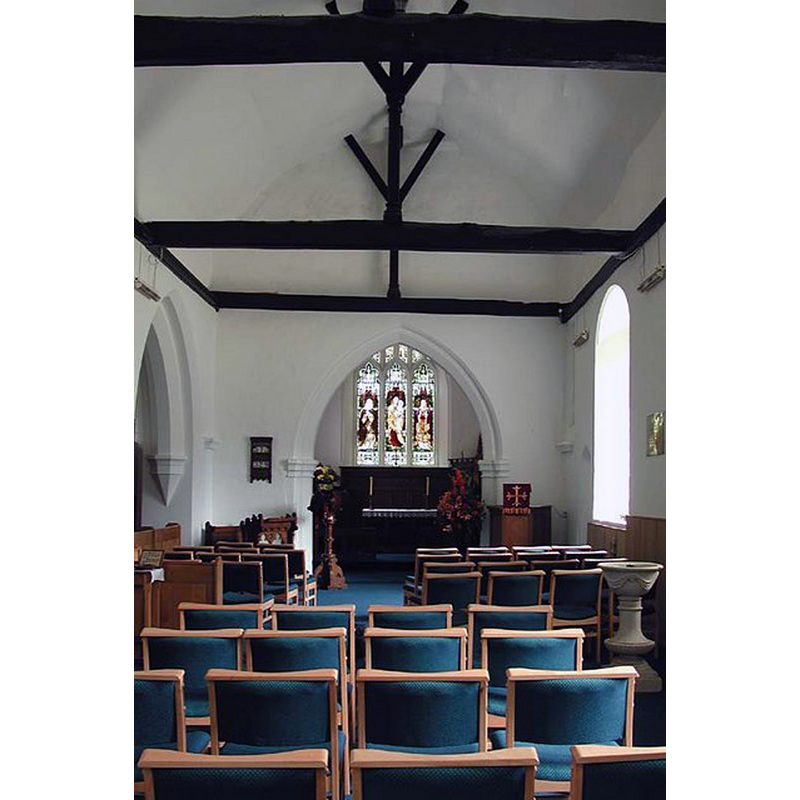
Copyright Statement: Image copyright © John Salmon, 2007
Image Source: digital photograph taken 14 June 2003 by John Salmon [www.geograph.org.uk/photo/355397] [accessed 22 June 2016]
Copyright Instructions: CC-BY-SA-2.0
INFORMATION
Font ID: 11939STA
Object Type: Baptismal Font1
Font Century and Period/Style: 12th century (mid?), Late Norman
Church / Chapel Name: Parish Church of St. Mary the Virgin
Church Patron Saint(s): St. Mary the Virgin
Church Address: 3 Church Lane, Stapleford, Hertfordshire SG14 3NW, UK
Site Location: Hertfordshire, East, England, United Kingdom
Directions to Site: Located off the A119, between Waterford and Watton-at-Stone, 5 km N of Hertford
Ecclesiastic Region: Diocese of St. Albans [formerly in the Diocese of Rochester]
Historical Region: Hundred of Hertford
Additional Comments: disappeared font? (the one from the mid-12thC (?) church here)
Font Notes:
Click to view
No individual entry found for this Stapleford in the Domesday survey. The Victoria County History (Hertford, vol. 3, 1912) notes: "Stapleford appears to have been included in the Domesday Survey in the large area comprised at that date by Bengeo, which encircles it on the east and south. Several of the holdings given under the name of Bengeo cannot be traced there after 1086. One of these was that of Geoffrey de Mandeville. This holding in 1086 was rated at 3 hides and 1 virgate and included a mill, (fn. 4) and may apparently be identified with the manor of STAPLEFORD [...] The eastern part of the nave was built in the 12th century, and perhaps the chancel also [...] The north doorway is of mid-12th-century date"; no font mentioned in the VCH entry. Pevsner & Cherry (1977) report: "Font. C18 baluster". [NB: the original fabric of the church goes back to Norman times but we have no information on the earlier font of this church]
COORDINATES
UTM: 30U 699888 5746604
Latitude & Longitude (Decimal): 51.834432, -0.098718
Latitude & Longitude (DMS): 51° 50′ 3.95″ N, 0° 5′ 55.39″ W
REFERENCES
- Victoria County History [online], University of London, 1993-. URL: https://www.british-history.ac.uk.
- Pevsner, Nikolaus, Hertfordshire, Harmondsworth: Penguin Books, 1977, p. 345