Buckland / Bochelande / Bokeland / Buckland nr. Buntingford
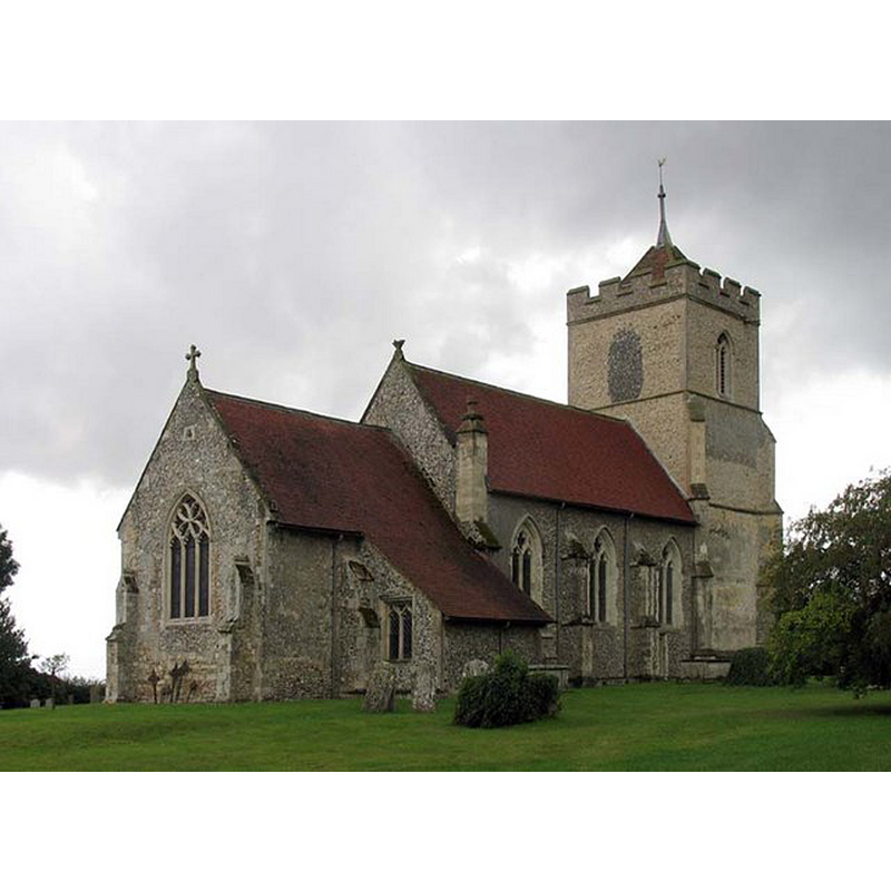
Image copyright © John Salmon, 2006
CC-BY-SA-2.0
Results: 3 records
view of church exterior - northeast view
Copyright Statement: Image copyright © John Salmon, 2006
Image Source: digital photograph taken 18 August 2006 by John Salmon [www.geograph.org.uk/photo/368067] [accessed 3 June 2015]
Copyright Instructions: CC-BY-SA-2.0
view of church exterior - south view
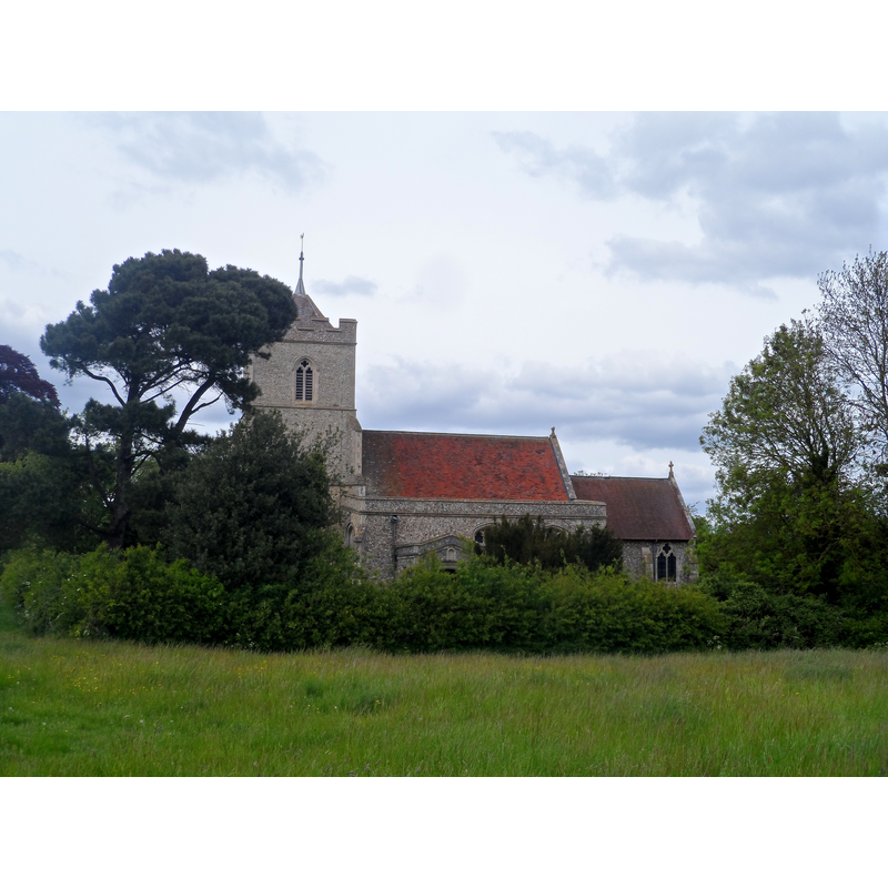
Copyright Statement: Image copyright © Bikeboy, 2015
Image Source: digital photograph taken 17 May 2015 by Bikeboy [www.geograph.org.uk/photo/4486106] [accessed 3 June 2015]
Copyright Instructions: CC-BY-SA-2.0
view of church interior - nave - looking east
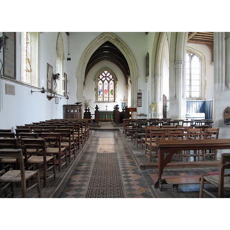
Copyright Statement: Image copyright © John Salmon, 2006
Image Source: digital photograph taken 18 August 2006 by John Salmon [www.geograph.org.uk/photo/368071] [accessed 3 June 2015]
Copyright Instructions: CC-BY-SA-2.0
INFORMATION
Font ID: 11916BUC
Object Type: Baptismal Font1
Font Century and Period/Style: 13th - 14th century, Medieval
Church / Chapel Name: Parish Church of St. Andrew [redundant]
Font Location in Church: [cf. FontNotes]
Church Patron Saint(s): St. Andrew
Church Address: Buckland, Hertfordshire SG9 0PU, UK
Site Location: Hertfordshire, East, England, United Kingdom
Directions to Site: Located on the A10, 5 km N of Buntingford
Ecclesiastic Region: Diocese of Rochester
Historical Region: Hundred of Edwinstree [in Domesday]
Additional Comments: disappeared font? (the one from the Domesday-time church here [cf. FontNotes]) -- NO PHOTO OF THIS FONT FOUND YET (June 2015)
Font Notes:
Click to view
There is an entry for this Buckland [variant spelling] in the Domesday survey [http://opendomesday.org/place/TL3533/buckland/] [accessed 3 June 2015]; it mentions a priest but not a church in it, although there probably was one there. A font here is noted in the Royal Commission on Historical Monuments, Hertforshire (1911): "Font: bowl of Barnack stone, probably 14th-century, but re-cut into an indefinite form; the base of clunch, scraped, apparently old." In Tompkins (1922) with quite a different date suggested: "The font is very possibly anterior to the Conquest; it is a roughly hewn mass of Barnack stone." There is no mention of it in Pevsner & Cherry (1977). An entry in the Brauingh Rural District Official Guide (1971) mentions "a font of Barnack stone which is possibly 900 years old."
COORDINATES
UTM: 30U 704355 5763671
Latitude & Longitude (Decimal): 51.986064, -0.023854
Latitude & Longitude (DMS): 51° 59′ 9.83″ N, 0° 1′ 25.87″ W
MEDIUM AND MEASUREMENTS
Material: stone, limestone (Barnack stone) (basin) -- clunch (base)
Font Shape: cf. Font Notes
Basin Exterior Shape: cf. Font Notes
REFERENCES
- Great Britain. Royal Commission on Historical Monuments (England), An Inventory of the Historical Monuments in Hertfordshire, London: Printed for His Majesty's Stationary Office by J. Truscott, 1911, p. 74
- Tompkins, Herbert Winckworth, Hertfordshire, London: Methuen & Co., 1922, [www.guttenberg.org/files/18252/18252-8.txt]