Ratley / Rotelei
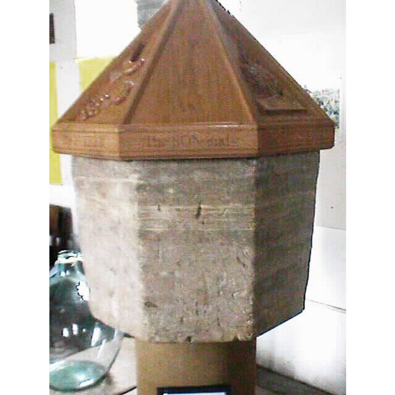
Image copyright © John Wilkes, 2006
Image and permission to reproduced received (e-mail of 17 March 2006)
Results: 3 records
view of font and cover
Scene Description: the re-cut (?) font
Copyright Statement: Image copyright © John Wilkes, 2006
Image Source: digital photograph by John Wilkes [www.allthecotswolds.com]
Copyright Instructions: Image and permission to reproduced received (e-mail of 17 March 2006)
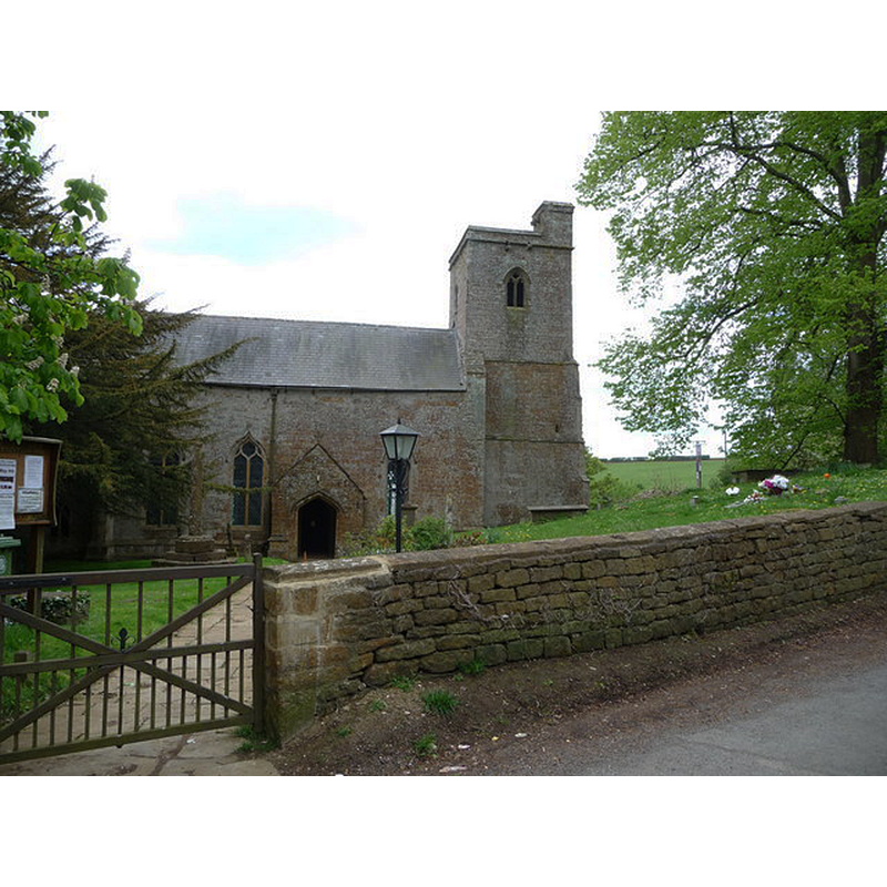
view of church exterior - north view
Copyright Statement: Image copyright © Jeremy Bolwell, 2010
Image Source: digital photograph taken 9 May 2010 by Jeremy Bolwell [www.geograph.org.uk/photo/1850256] [accessed 13 January 2015]
Copyright Instructions: CC-BY-SA-2.0
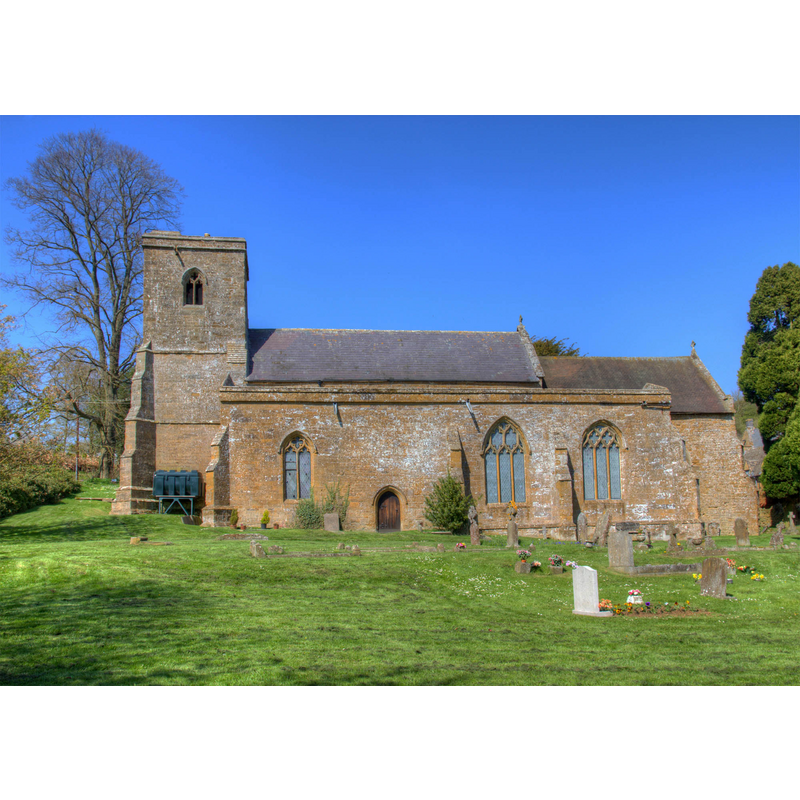
view of church exterior - south view
Copyright Statement: Image copyright © David P Howard, 2013
Image Source: digital photograph taken 1 May 2013 by David P Howard [www.geograph.org.uk/photo/3438611] [accessed 13 January 2015]
Copyright Instructions: CC-BY-SA-2.0
INFORMATION
Font ID: 11584RAT
Object Type: Baptismal Font1
Font Century and Period/Style: 13th - 14th century, Medieval
Church / Chapel Name: Parish Church of St. Peter ad Vincula
Font Location in Church: Inside the church
Church Patron Saint(s): St. Peter
Church Address: High Street, Ratley, West Midlands, OX15 6DS, UK
Site Location: Warwickshire, West Midlands, England, United Kingdom
Directions to Site: Located just off (N) the A422, about 20 km ESE of Stratford-upon-Avon
Ecclesiastic Region: Diocese of Coventry
Historical Region: Hundred of Hunesberi [in Domesday] -- Hundred of Kington
Additional Comments: altered font? (re-cut?)
Font Notes:
Click to view
There is an entry for Ratley [variant spelling] in the Domesday survey [http://domesdaymap.co.uk/place/SP3847/ratley/] [accessed 13 January 2015], but it mentions neither cleric nor church in it. The Victoria County History (Warwick, vol. 5, 1949) notes: "Thomas de Arderne in 1286 granted the advowson of Ratley church to the Abbey of Stoneleigh [...] The whole fabric, except the 15th-century porch, dates from the 14th century but the foundations may be partly on the lines of an earlier building. It was begun about 1340 and continued in several spells, finishing with the top stage of the tower, which is late-14th-century work [...] The font, probably medieval, is very plain: the bowl is octagonal and tapers downwards; the round stem and base are modern." English Heritage [Listing NGR: SP3834547334] (1967) reports: "font has plain octagonal bowl, possibly recut, on renewed stem". A smallish octagonal basin with plain tapering sides, totally devoid of ornamentation; may have been re-cut, if the original was from the medieval church; modern pedestal base; modern wooden cover, pyramidal.
Credit and Acknowledgements: We are grateful to John Wilkes, of www.allthecotswolds.com, for the recent [2006] photograph of this font.
COORDINATES
UTM: 30U 606702 5775876
Latitude & Longitude (Decimal): 52.1231, -1.4414
Latitude & Longitude (DMS): 52° 7′ 23.16″ N, 1° 26′ 29.04″ W
MEDIUM AND MEASUREMENTS
Material: stone
Font Shape: octagonal, mounted
Basin Interior Shape: round
Basin Exterior Shape: octagonal
LID INFORMATION
Date: modern
Material: wood, oak?
Apparatus: no
Notes: [cf. FontNotes]
REFERENCES
- Victoria County History [online], University of London, 1993-. URL: https://www.british-history.ac.uk.