Much Wenlock No. 2 / Wenloch
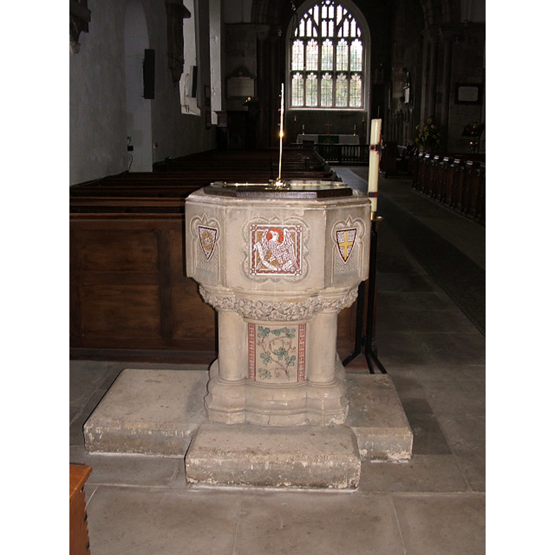
Image copyright © David Taylor, 2006
Image and permission received (e-mail of 13 March 2006)
Results: 3 records
view of font
Copyright Statement: Image copyright © David Taylor, 2006
Image Source: digital photograph taken in February 2006 by David Taylor
Copyright Instructions: Image and permission received (e-mail of 13 March 2006)
view of font
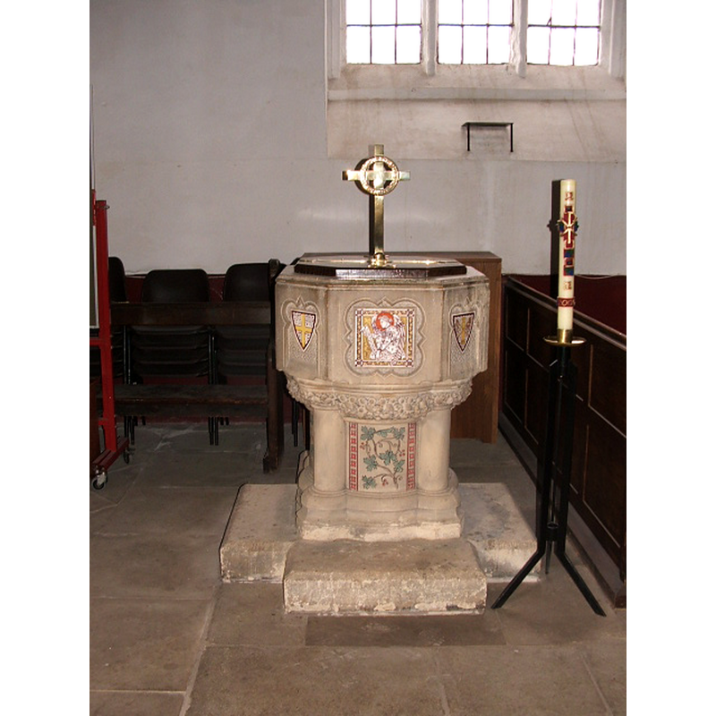
Copyright Statement: Image copyright © David Taylor, 2006
Image Source: digital photograph taken in February 2006 by David Taylor
Copyright Instructions: Image and permission received from the author (e-mail of 13 March 2006)
view of font in context
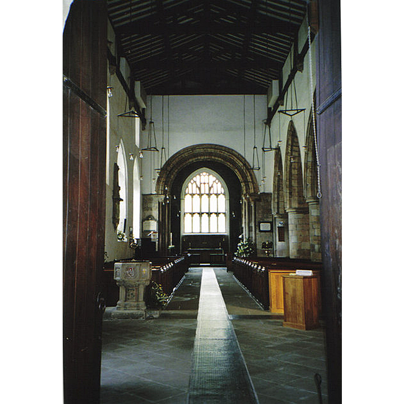
Scene Description: in the nave, looking east
Copyright Statement: Image copyright © Carol Walker, 2007
Image Source: digital photograph taken 27 April 2007 by Carol Walker [www.geograph.org.uk/photo/417922] [accessed 9 July 2015]
Copyright Instructions: CC-BY-SA-2.0
INFORMATION
Font ID: 11579MUC
Object Type: Baptismal Font1
Font Date: 1875
Font Century and Period/Style: 19th century (late), Victorian
Church / Chapel Name: Parish Church of the Holy Trinity [formerly St. Milburga]
Font Location in Church: Inside the church, in the nave
Church Patron Saint(s): The Holy Trinity [formerly dedicated to St. Milburga [aka Milburh, Milburgha]]
Church Address: Wilmore Street, Much Wenlock, Shropshire TF13 6HR, UL
Site Location: Shropshire, West Midlands, England, United Kingdom
Directions to Site: Located at the A458-A4169 crossroads, 11 km NW of Bridgnorth, 18-20 km SE of Shrewsbury
Ecclesiastic Region: Diocese of Hereford
Historical Region: Hundred of Patton [in Domesday] -- Hundred of Munslow, Liberty and Borough of Wenlock
Font Notes:
Click to view
A second font in this church, in the nave, is the one noted in the Victoria County History entry (Shropshire. vol. 10, 1998): "A gothic font in Caen stone, inlaid with ceramic plaques, had been given in 1875; [...] it remained in the church after its plain Norman predecessor was brought inside c. 1920". Noted in Newman & Pevsner (2006): "1875 […] octagonal, of stone with tile panels."
Credit and Acknowledgements: We are grateful to David Taylor for the recent [2006] photographs of this font.
COORDINATES
UTM: 30U 530038 5827457
Latitude & Longitude (Decimal): 52.596304, -2.556526
Latitude & Longitude (DMS): 52° 35′ 46.69″ N, 2° 33′ 23.5″ W
MEDIUM AND MEASUREMENTS
Material: stone
Font Shape: octagonal, mounted
Basin Interior Shape: round
Basin Exterior Shape: octagonal
REFERENCES
- Victoria County History [online], University of London, 1993-. URL: https://www.british-history.ac.uk.
- Newman, John, Shropshire, New Haven: Yale University Press, 2006, p. 428