Milton nr. Cambridge / Middeltone
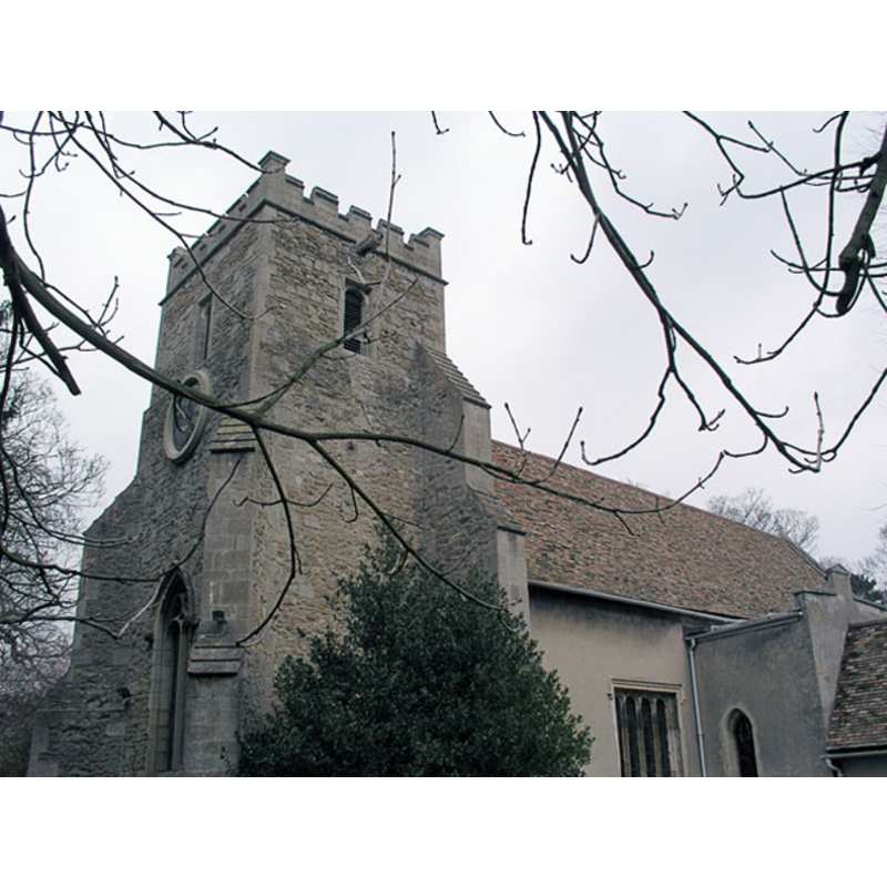
Image copyright © Mark Ynys-Mon, 2004
Standing permission]
Results: 1 records
view of church exterior
Copyright Statement: Image copyright © Mark Ynys-Mon, 2004
Image Source: digital photograph by Mark Ynys-Mon, 2004 [http://www.druidic.org/camchurch/churches/milton.htm] [accessed 18 November 2007]
Copyright Instructions: Standing permission]
INFORMATION
Font ID: 11488MIL
Object Type: Baptismal Font1
Font Century and Period/Style: 13th century, Early English
Church / Chapel Name: Parish Church of All Saints
Font Location in Church: Inside the church, in the E end, against the chancel arch [cf. FontNotes]
Church Patron Saint(s): All Saints
Church Address: 1 Church Lane, Milton CB4 6AB
Site Location: Cambridgeshire, East, England, United Kingdom
Directions to Site: Located off (NE) the crossroads of the A14-A10, 5 km NE of Cambridge (dir. Ely)
Ecclesiastic Region: Diocese of Ely
Historical Region: Hundred of Northstowe
Additional Comments: disappeared font? (the one from the mid-12thC church here)
Font Notes:
Click to view
There is an entry for this Milton [variant spelling] in the Domesday survey [http://opendomesday.org/place/TL4762/milton/] [accessed 29 June 2016], but it mentions neither cleric nor church in it. Paley's Guide (1844) notes: "The font, which is plain octagonal, is built into the northern jamb." Noted in Paley (1844) for its unsusual location inside the church, "against the chancel arch, and appears long to have occupied that unusual position." The Victoria County History (Cambridge, vol. 9, 1989) notes: "There was a church by the mid 12th century […] The earliest surviving part is the round-headed chancel arch, unmoulded on cushion capitals. […] he chancel was rebuilt after 1350. […] There is a plain octagonal font." The Milton All Saints' Parish web site [www.ely.anglican.org/parishes/milton/index.htm] [accessed 18 November 2007] informs: "In 1665 the visitation noted that the font needed leading" [i.e., a lead lining of the inner well of the basin].
Credit and Acknowledgements: We are grateful to Mark Ynys-Mon, of Cambridgeshire Churches, for his photograph of this church.
COORDINATES
UTM: 31U 306540 5791904
Latitude & Longitude (Decimal): 52.24349, 0.166271
Latitude & Longitude (DMS): 52° 14′ 36.56″ N, 0° 9′ 58.58″ E
MEDIUM AND MEASUREMENTS
Material: stone
Font Shape: octagonal, mounted
Basin Interior Shape: round
Basin Exterior Shape: octagonal
REFERENCES
- Victoria County History [online], University of London, 1993-. URL: https://www.british-history.ac.uk.
- Paley, Frederick Apthorp, Illustrations of Baptismal Fonts, London, UK: John van Voorst, 1844, p. 30
- Paley, Frederick Apthorp, The Ecclesiologist's guide to the churches within a circuit of seven miles round Cambridge, with introductory remarks, London; Cambridge: J. van Voorst; Metcalfe and Palmer, 1844, p. 5