Leigh nr. Sherborne
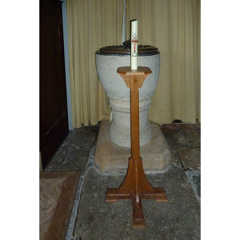
Image copyright © Basher Eyre, 2012
CC-BY-SA-2.0
Results: 3 records
view of font and cover
Copyright Statement: Image copyright © Basher Eyre, 2012
Image Source: digital photograph [edited] taken 2 September 2012 by Basher Eyre [www.geograph.org.uk/photo/3179648] [accessed 13 November 2014]
Copyright Instructions: CC-BY-SA-2.0
view of church exterior - southeast view
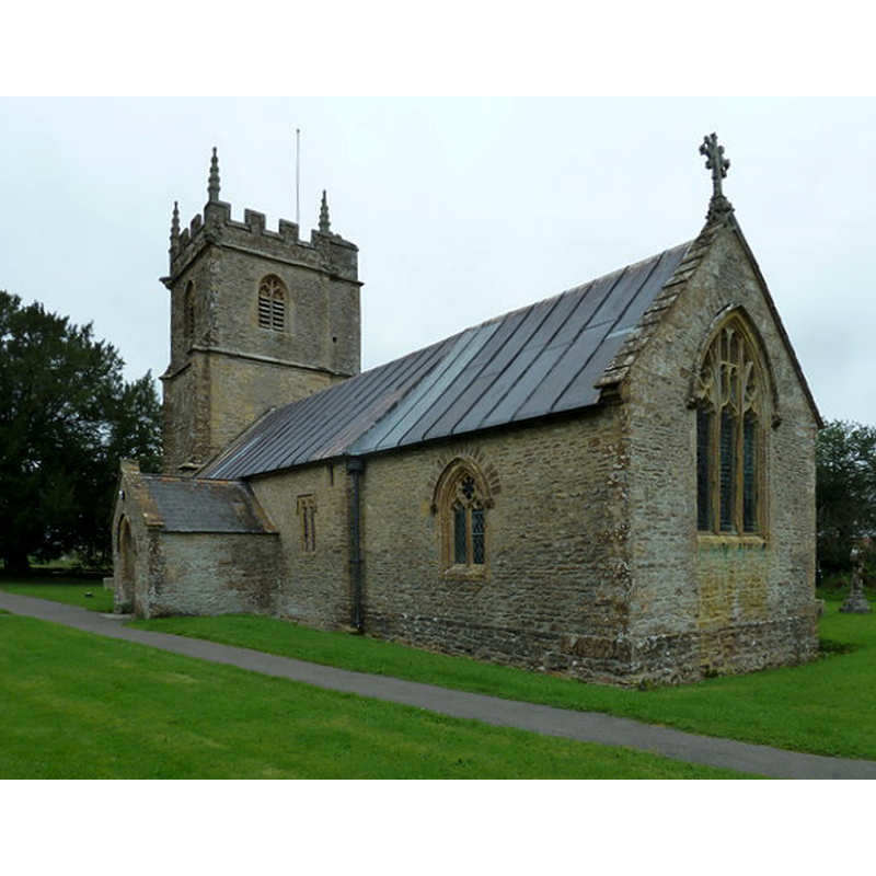
Copyright Statement: Image copyright © Basher Eyre, 2012
Image Source: digital photograph taken 2 September 2012 by Basher Eyre [www.geograph.org.uk/photo/3179606] [accessed 13 November 2014]
Copyright Instructions: CC-BY-SA-2.0
view of church interior - nave - looking east
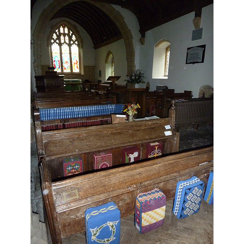
Copyright Statement: Image copyright © Basher Eyre, 2012
Image Source: digital photograph taken 2 September 2012 by Basher Eyre [www.geograph.org.uk/photo/3180391] [accessed 13 November 2014]
Copyright Instructions: CC-BY-SA-2.0
INFORMATION
Font ID: 11363LEI
Object Type: Baptismal Font1
Font Century and Period/Style: 12th - 13th century [basin only], Medieval / composite
Church / Chapel Name: Parish Church of St. Andrew
Font Location in Church: Inside the church, at the W end
Church Patron Saint(s): St. Andrew
Church Address: Village Street, Leigh, Dorset, DT9 6HL
Site Location: Dorset, South West, England, United Kingdom
Directions to Site: Located off (E) the A37, 9 km WSW of Sherborne, 15 km SSE of Yeovil
Ecclesiastic Region: Diocese of Salisbury
Additional Comments: recycled font / composite font (stem is modern)
Font Notes:
Click to view
Noted in Long (1923) as a baptismal basin of the Norman period raised on a modern base. The Inventory of the Historical Monuments in Dorset (vol. 1, 1952: 130-132) notes: "Parish Church of St. Andrew, formerly a chapel of Yetminster, stands in the village [...] was built in the second half of the 15th century. It was extensively restored in 1854 [...] Font: round convex bowl with roll-moulding at base, 13th-century, stem modern."
COORDINATES
UTM: 30U 532051 5636153
Latitude & Longitude (Decimal): 50.876165, -2.544449
Latitude & Longitude (DMS): 50° 52′ 34.19″ N, 2° 32′ 40.01″ W
MEDIUM AND MEASUREMENTS
Material: stone
Font Shape: round, mounted -- cup-shaped
Basin Interior Shape: round
Basin Exterior Shape: round
LID INFORMATION
Date: modern
Material: wood, oak?
Apparatus: no
Notes: round and flat, with carved top and edge; handle finial
REFERENCES
- Long, E.T., "Dorset church fonts", 44, Proceedings of the Dorset Natural History and Antiquarian Field Club, 1923, pp. 62-76; p. 67, 75