Holt nr. Bournemouth
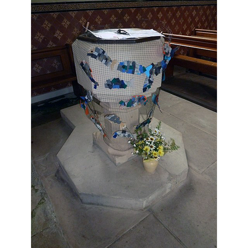
Image copyright © Basher Eyre, 2012
CC-BY-SA-2.0
Results: 3 records
view of font and cover
Scene Description: the 19thC font and cover
Copyright Statement: Image copyright © Basher Eyre, 2012
Image Source: digital photograph taken 8 September 2012 by Basher Eyre [www.geograph.org.uk/photo/3161386] [accessed 26 January 2020]
Copyright Instructions: CC-BY-SA-2.0
view of church exterior in context - northwest view
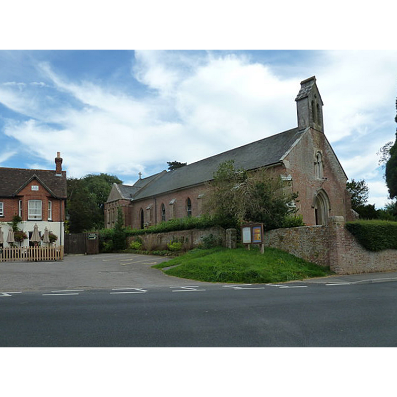
Scene Description: the 19thC church
Copyright Statement: Image copyright © Basher Eyre, 2012
Image Source: digital photograph taken 8 September 2012 by Basher Eyre [www.geograph.org.uk/photo/3127747] [accessed 26 January 2020]
Copyright Instructions: CC-BY-SA-2.0
view of church interior - looking east
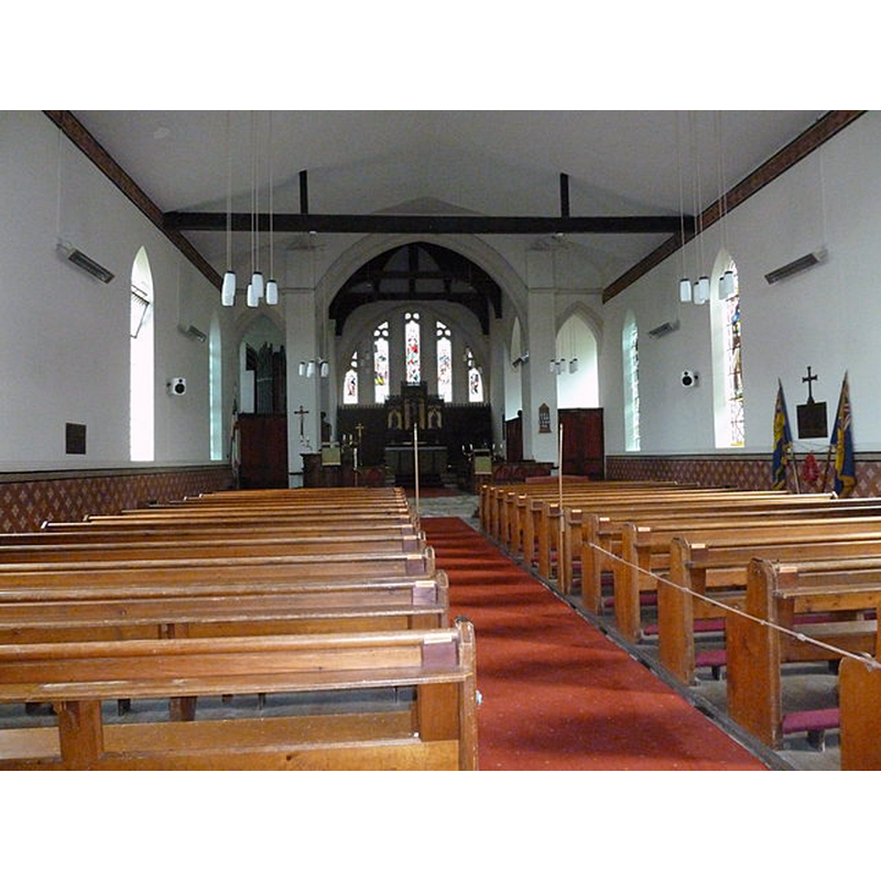
Scene Description: the 19thC church
Copyright Statement: Image copyright © Basher Eyre, 2012
Image Source: digital photograph taken 8 September 2012 by Basher Eyre [www.geograph.org.uk/photo/3161344] [accessed 26 January 2020]
Copyright Instructions: CC-BY-SA-2.0
INFORMATION
Font ID: 11321HOL
Object Type: Baptismal Font1?
Font Century and Period/Style: Medieval
Church / Chapel Name: Parish Church of St. James, Holt
Church Patron Saint(s): St. James
Church Address: 1898 Holt Ln, Holt, Wimborne BH21 7DJ, UK
Site Location: Dorset, South West, England, United Kingdom
Directions to Site: Located E of the B3078, 10-12 km N of Bournemouth
Ecclesiastic Region: Diocese of Salisbury
Additional Comments: disappeared font?
Font Notes:
Click to view
No individual entry found for thsi Holt in the Domesday survey. The entry for this church in Historic England [Listing NGR: SU0300103925] notes: "C19 octagonal stone font on octagonal plinth". The Dorset Historic Churches Trust [http://dorsethistoricchurchestrust.co.uk/holt.htm] notes: the octagonal mounted font with a graded chamfer is probably Victorian [NB: the above source informs that "a church here was repaired in 1493 so that the inhabitants would not have to walk to Wimborne for services" and that "it was completely rebuilt in brick in 1836 by John Tulloch." -- we have no information on the earlier font(s) of this church]
COORDINATES
UTM: 30U 573319 5631966
Latitude & Longitude (Decimal): 50.83476, -1.9588
Latitude & Longitude (DMS): 50° 50′ 5.14″ N, 1° 57′ 31.68″ W