Cotherston / Codrestune / Cotherstone
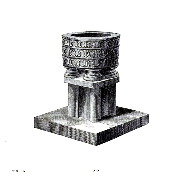
Image copyright © [in the public domain]
PD
Results: 4 records
view of font
Scene Description: as shown in a ca.1823 illustration
Copyright Statement: Image copyright © [in the public domain]
Image Source: digital image of an illustration in Whitaker (1823)
Copyright Instructions: PD
design element - architectural - arch-head - horseshoe
Scene Description: three parallel rows of them, separated by flat mouldings
Copyright Statement: Image copyright © [in the public domain]
Image Source: digital image of an illustration in Whitaker (1823)
Copyright Instructions: PD
design element - motifs - moulding - graded
Scene Description: not clear whether this part of the basin underbowl or of the original base; the pedestal below is said to modern
Copyright Statement: Image copyright © [in the public domain]
Image Source: digital image of an illustration in Whitaker (1823)
Copyright Instructions: PD
view of context
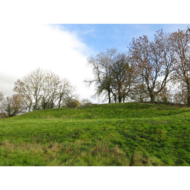
Scene Description: The site of Cotherstone Castle, which the disappeared chapel is said to have been adjoined; only a few stones remain, hte rest are said to have been taken to build dwellings in the area
Copyright Statement: Image copyright © Mike Quinn, 2018
Image Source: digital photograph taken 10 November 2018 by Mike Quinn [www.geograph.org.uk/photo/6001795] [accessed 24 November 2019]
Copyright Instructions: CC-BY-SA-2.0
INFORMATION
Font ID: 11251COT
Object Type: Baptismal Font1?
Font Century and Period/Style: Medieval
Church / Chapel Name: [chapel?]
Font Location in Church: [cf. FontNotes]
Church Notes: original chapel may have been attached to the disappeared castle; present church of St Cuthbert's built 1881 [NB: 'Cotherstone' said by some to mean Cuthbert's stone']
Church Address: [coordinates for the castle site] [address of the present church: Cotherstone, Barnard Castle DL12 9PP, UK -- Tel.: +44 1833650217
Site Location: Durham, North East, England, United Kingdom
Directions to Site: The chapel was said to adjoin Cotherstone Castle, about 5 km NE of Barnard Castle, E of the B6277, SW of the Tees river; near the manor house at Cotherston
Historical Region: Hundred of Land of Count Alan -- formerly Yorkshire
Additional Comments: disappeared font? [cf. FontNotes]
Font Notes:
Click to view
There is an entry for Cotherstone [variant spelling] in the Domesday survey [https://opendomesday.org/place/NZ0119/cotherstone/] [accessed 24 November 2019] but it mentions neither cleric nor church in it. A font in Cotherston is noted and illustrated in Whitaker (1823, vol. 1: 141) as an ancient font dug up in the chapel garth; the basin is cylindrical and decorated with three rows of what appear to be horseshoe arch heads; on four moulded bases that may have had columns on them originally, but the whole is shown as re-mounted (?) on a flat square stone and a set of four clustered columns, on a square plinth, the whole of the base appearing modern. Bulmer's Directory of North Yorkshire (1890) reports: "in Chapel garth adjoining [the burnt ruins of Cotherstone Castle] an ancient font" [source: Transcription by Colin Hinson © 1999 in www.genuki.org.uk/big/eng/YKS/NRY/Romaldkirk/Romaldkirk90.html] [NB: we have no information on the whereabouts of this font].
COORDINATES
UTM: 30U 566064 6047980
Latitude & Longitude (Decimal): 54.575, -1.978
Latitude & Longitude (DMS): 54° 34′ 30″ N, 1° 58′ 40.8″ W
MEDIUM AND MEASUREMENTS
Material: stone
Font Shape: cylindrical, mounted
Basin Interior Shape: round
Basin Exterior Shape: round
REFERENCES
- Bulmer, T., History, Topography, and Directory of North Yorkshire, Comprising its Ancient and Modern History; [...], Preston: T. Bulmer & Co. (T. Snape & Co. Printers), 1890, [www.genuki.org.uk/big/eng/YKS/NRY/Romaldkirk/Romaldkirk90.html]
- Whitaker, Thomas Dunham, An history of Richmondshire, in the North Riding of the County of York [...], with illustrations by J.M.W. Turner, London: [s.n.], 1823, vol. 1: 141