Whitkirk / Whitechurche / Whitkirke
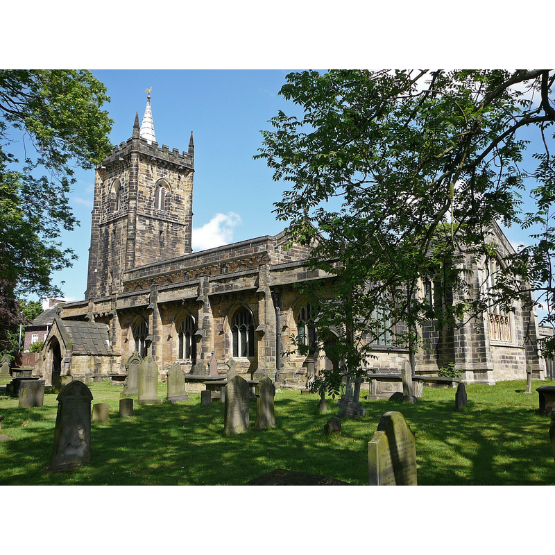
Image copyright © Tim Green, 2009
CC-BY-SA-2.0
Results: 3 records
view of church exterior - northeast view
Copyright Statement: Image copyright © Tim Green, 2009
Image Source: digital photograph taken 30 May 2009 by Tim Green [https://commons.wikimedia.org/wiki/File:St_Mary,_Whitkirk_1_(3586829456).jpg] [accessed 22 October 2018]
Copyright Instructions: CC-BY-SA-2.0
view of church exterior - southeast view
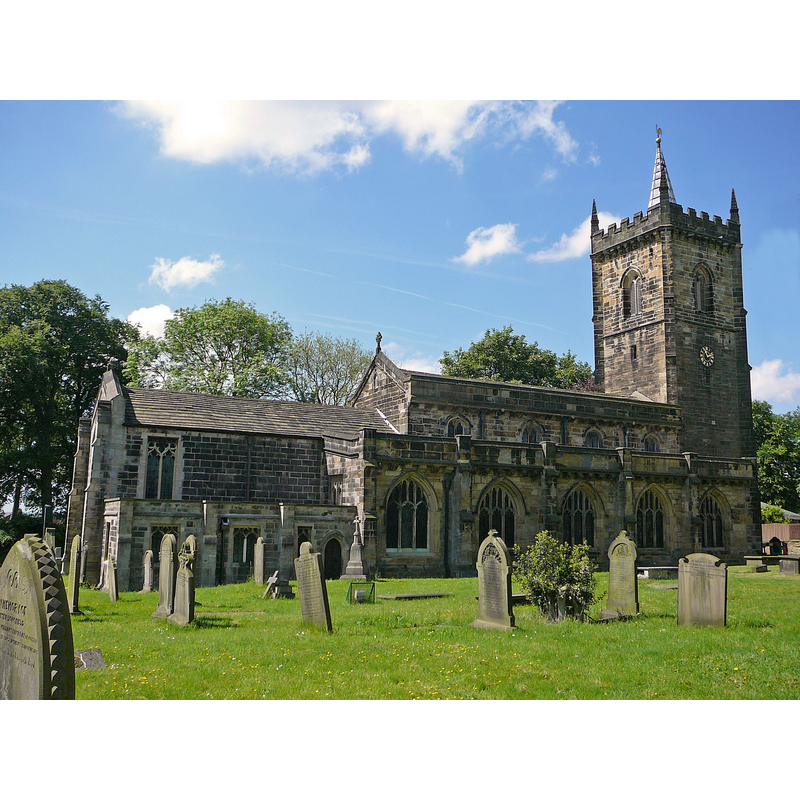
Copyright Statement: Image copyright © Tim Green, 2009
Image Source: digital photograph taken 30 May 2009 by Tim Green [https://commons.wikimedia.org/wiki/File:St_Mary,_Whitkirk_2_(3586007621).jpg] [accessed 22 October 2018]
Copyright Instructions: CC-BY-SA-2.0
view of church interior - looking east
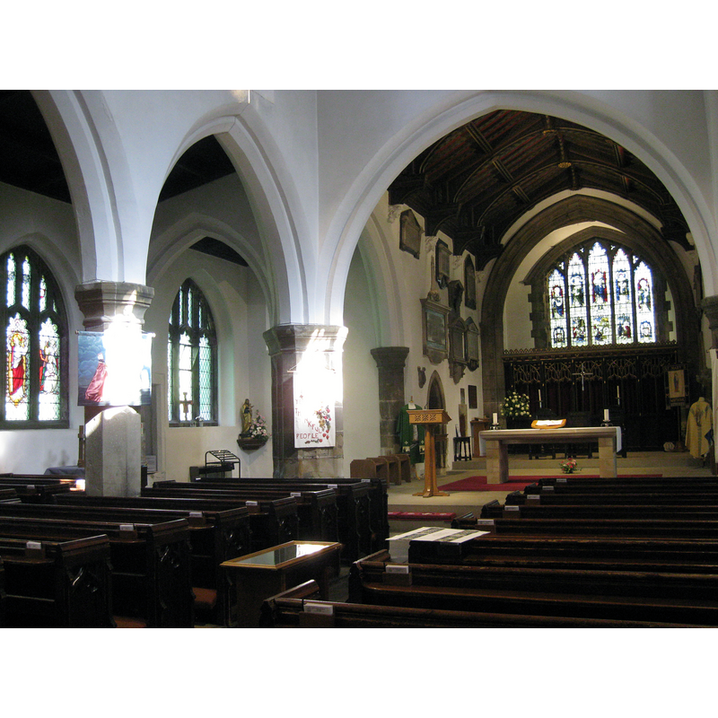
Scene Description: nave and south aisle
Copyright Statement: Image copyright © Chemical Engineer, 2016
Image Source: digital photograph taken 11 September 2016 by Chemical Engineer [https://commons.wikimedia.org/wiki/File:St_Mary's_Church_Whitkirk_interior_01.jpg] [accessed 22 October 2018]
Copyright Instructions: CC-BY-SA-3.0
INFORMATION
Font ID: 11241WHI
Object Type: Baptismal Font1
Font Century and Period/Style: 12th century, Late Norman
Church / Chapel Name: Parish Church of St. Mary
Font Location in Church: Inside the church
Church Patron Saint(s): St. Mary the Virgin
Church Address: Selby Rd, Whitkirk, Leeds LS15 0AA, UK -- Tel.: +44 113 264 5790
Site Location: West Yorkshire, Yorkshire and the Humber, England, United Kingdom
Directions to Site: Located off the B6159, about 7 km E of Leeds, now an E suburb
Ecclesiastic Region: Diocese of Leeds
Historical Region: Hundred of Skyrack -- formerly ERYrks
Font Notes:
Click to view
No individual entry for Whitkirk found in the Domesday survey. The entry for Whitkirk St. Mary's in Mee reads: "There is an old font bowl and a new font". The entry for this church in Historic Ebgland notes: "Anglican church. C15, chancel rebuilt 1901 by GF Bodley; restored 1855-56, re-ordered c1990", but it does not mention a font in it. The history page of the parish [https://whitkirkchurch.org.uk/history/] [accessed 22 October 2018] reports: "Vicars of St Mary’s Church, Whitkirk can be traced back to 1185 AD although there was probably a church on this site before that date. It is possible that there was a Saxon church of blackened timber which was then replaced by a stone church giving rise to the name “Whitechurche” (Whitkirk). The earliest reference to “Whitechurche” is in a charter of Henry de Laci conferring land to the Knights Templar. The names of the witnesses prove the date of this charter to be between 1154 and 1166. The font and the piscina date from the 12th century although the present Grade 1 listed building is predominantly from the 14th and 15th centuries, with later additions and alterations. The font is a single piece of magnesium limestone identified as being from the quarry which provided stone for the construction of York Minster". The entry for this church in Ryder 1993) mentions no font in it.
COORDINATES
UTM: 30U 602111 5962084
Latitude & Longitude (Decimal): 53.7973, -1.4497
Latitude & Longitude (DMS): 53° 47′ 50.28″ N, 1° 26′ 58.92″ W
MEDIUM AND MEASUREMENTS
Material: stone, limestone (magnesium limestone)
Number of Pieces: one
REFERENCES
- Mee, Arthur, The King's England, Yorkshire, West Riding, London: Hodder & Stoughton, 1941, p. 416
- Ryder, Peter, Medieval churches of West Yorkshire, [Leeds?]: West Yorkshire Archaeology Service, 1993, p. 178