Thornhill nr. Wakefield / Torni
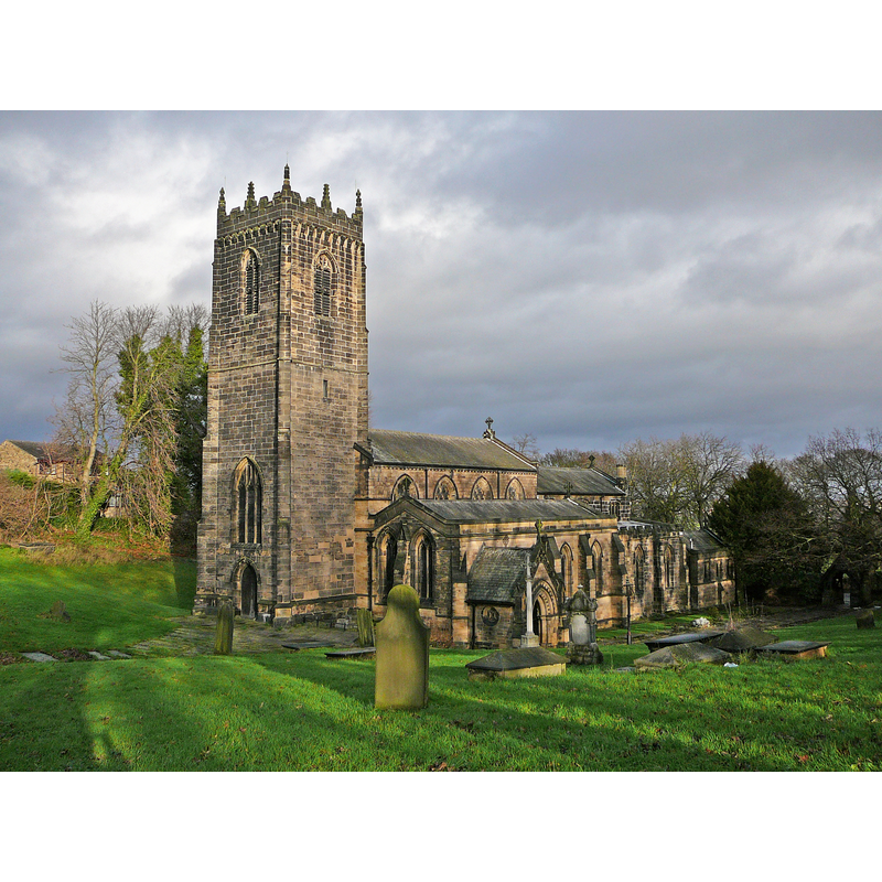
Image copyright © Tim Green, 2009
CC-BY-SA-2.0
Results: 2 records
view of church exterior - southwest view
Copyright Statement: Image copyright © Tim Green, 2009
Image Source: digital photograph taken 5 December 2009 by Tim Green [www.flickr.com/photos/93416311@N00/4172382042] [accessed 30 October 2018]
Copyright Instructions: CC-BY-SA-2.0
view of church interior - nave - looking east
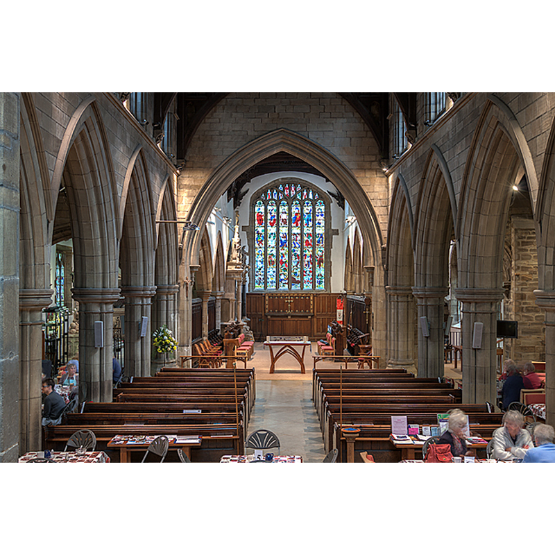
Copyright Statement: Image copyright © Mike Searle, 2015
Image Source: digital photograph taken 9 September 2015 by Mike Searle [www.geograph.org.uk/photo/4663070] [accessed 30 October 2018]
Copyright Instructions: CC-BY-SA-2.0
INFORMATION
Font ID: 11237THO
Object Type: Baptismal Font1?
Font Century and Period/Style: 11th century, Pre-Conquest? / Norman
Church / Chapel Name: Parish Church of St. Michael [aka St Michael and All Angels']
Church Patron Saint(s): St. Michael
Church Address: Church Lane, Thornhill, Dewsbury WF12 0JZ, UK -- Tel.: +44 1924 465329
Site Location: West Yorkshire, Yorkshire and the Humber, England, United Kingdom
Directions to Site: Located off (S) the A644, 3 km S of Dewsbury, 10 km from Wakefield
Ecclesiastic Region: Diocese of Leeds
Historical Region: Hundred of Agbrigg - formerly WRYrks
Additional Comments: disappeared font? (the one from the Domesday-time church here)
Font Notes:
Click to view
There is an entry for this Thornhill [variant spelling] in the Domesday survey [http://opendomesday.org/place/SE2418/thornhill/] [accessed 30 October 2018]; it reports a priest and a church in it. Mee (1941) writes: "the modern font has a cover like a crown." The entry for this church in the CRSBI (2018) notes "Ten Anglo-Saxon items have been recorded here, see Collingwood 1915, and Coatsworth 2008, 256-265. The monuments and pre-Conquest stone are well displayed in the north chapel, the Savile chapel. The building is largely 15th century but the nave was rebuilt in 1777 and 1877." [NB: the church was rebuilt in the 19th century, whence the font, but the original church goes back to the Domesday time; we have no information on the earlier font(s)]
COORDINATES
UTM: 30U 591312 5947193
Latitude & Longitude (Decimal): 53.6655, -1.618
Latitude & Longitude (DMS): 53° 39′ 55.8″ N, 1° 37′ 4.8″ W
LID INFORMATION
Date: 19th century
Notes: [cf. FontNotes]
REFERENCES
- Corpus of Romanesque Sculpture in Britain and Ireland, The Corpus of Romanesque Sculpture in Britain and Ireland, The Corpus of Romanesque Sculpture in Britain and Ireland. URL: http://www.crsbi.ac.uk.
- Mee, Arthur, The King's England, Yorkshire, West Riding, London: Hodder & Stoughton, 1941, p. 385