Rawmarsh / Raumersche / Rodemesc
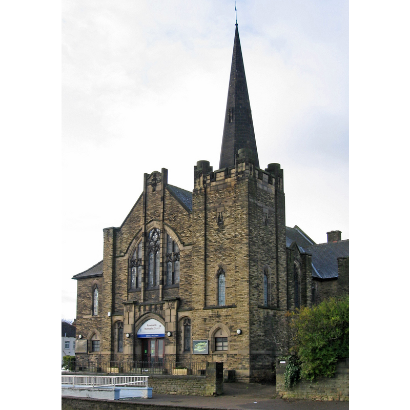
Image copyright © Dave Bevis, 2013
CC-BY-SA-2.0
Results: 2 records
view of church exterior - southwest end
Copyright Statement: Image copyright © Dave Bevis, 2013
Image Source: digital photograph taken 7 December 2013 by Dave Bevis [www.geograph.org.uk/photo/3791392] [accessed 19 November 2018]
Copyright Instructions: CC-BY-SA-2.0
view of church exterior - southeast view
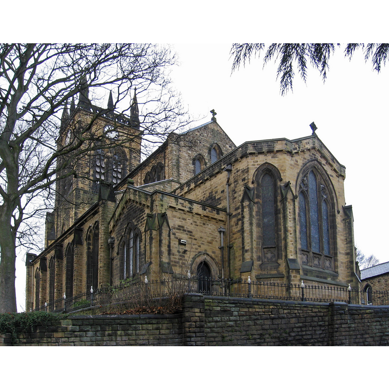
Copyright Statement: Image copyright © Dave Bevis, 2013
Image Source: digital photograph taken 7 December 2013 by Dave Bevis [www.geograph.org.uk/photo/3792074] [accessed 19 November 2018]
Copyright Instructions: CC-BY-SA-2.0
INFORMATION
Font ID: 11232RAW
Object Type: Baptismal Font1
Font Century and Period/Style: 15th century, Perpendicular
Church / Chapel Name: Parish Church of St. Mary [originally from the earlier church here]
Font Location in Church: Inside the modern church
Church Patron Saint(s): St. Mary the Virgin [one source gives St. Lawrence]
Church Notes: original church Norman; present church 1838
Church Address: High St, Rawmarsh, Rotherham S62 6LT, UK
Site Location: South Yorkshire, Yorkshire and the Humber, England, United Kingdom
Directions to Site: Located off (W) the A633, 4 km NE of Rotherham
Ecclesiastic Region: Diocese of Sheffield
Historical Region: Hundred of Strafforth -- formerly WRYrks
Additional Comments: disappeared font? (the one from the 11th-12thC church here)
Font Notes:
Click to view
There is an entry for Rawmarsh [variant spelling] in the Domesday survey [http://opendomesday.org/place/SK4396/rawmarsh/] [accessed 19 November 2018] but it mentions neither cleric nor church in it. Mee (1941) reports an old font here, no details. Pevsner (1986 c1967) and Harman & Pevsner (2017) date it to the Perpendicular period. The entry for this church in Historic England [Listing NGR: SK4359095927] notes: "Church. Rebuilt 1839 by J. P. Pritchett; tower rebuilt 1869 incorporating remains of an C11 or C12 doorway; chancel extended, organ-chamber and vestry added c1896 by Platts of Rotherham [...] Heavily-restored Norman south door"; no font mentioned in it. [NB: the original church may have dated to Norman times; we have no information on the earlier font(s) of this church]
COORDINATES
UTM: 30U 609817 5924550
Latitude & Longitude (Decimal): 53.4585, -1.346
Latitude & Longitude (DMS): 53° 27′ 30.6″ N, 1° 20′ 45.6″ W
MEDIUM AND MEASUREMENTS
Material: stone
Font Shape: octagonal, mounted
Basin Interior Shape: round
Basin Exterior Shape: octagonal
REFERENCES
- Harman, Ruth, Yorkshire West Riding: Sheffield and the South, New Haven; London: Yale University Press, 2017, p. 443
- Pevsner, Nikolaus, Yorkshire: the West Riding, Harmondsworth: Penguin Books, 1986 c1967, p. 399