Kirkburton / Bertone
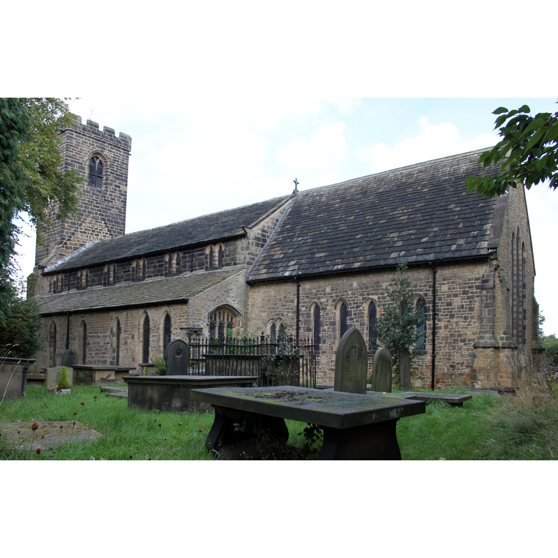
Image copyright © Eric Hindle, 2013
CC-BY-SA-2.0
Results: 1 records
view of church exterior - southeast view
Copyright Statement: Image copyright © Eric Hindle, 2013
Image Source: digital photograph taken 29 September 2013 by Eric Hindle [https://commons.wikimedia.org/wiki/File:Church_of_All_Hallows_Kirkburton.JPG] [accessed 30 October 2018]
Copyright Instructions: CC-BY-SA-2.0
INFORMATION
Font ID: 11227KIR
Object Type: Baptismal Font1
Font Century and Period/Style: 13th - 14th century, Medieval
Church / Chapel Name: Parish Church of All Hallows
Font Location in Church: Inside the church
Church Patron Saint(s): All Saints
Church Address: Huddersfield Rd, Kirkburton, Huddersfield HD8 0TE, UK -- Tel.: +44 7925 884212
Site Location: West Yorkshire, Yorkshire and the Humber, England, United Kingdom
Directions to Site: Located off the B6176, E of the A629, 9 km SE of Huddersfield
Ecclesiastic Region: Diocese of Leeds
Historical Region: Hundred of Agbrigg -- formerly ERYrks
Font Notes:
Click to view
There is an entry for [Kirk]burton [variant spelling] in the Domesday survey [http://opendomesday.org/place/SE1912/kirkburton/] [accessed 30 October 2018]; it reports three priests and two churches in it. Mee (1941) writes: "The old font has an extraordinarily tiny stem for its great bowl, and its unusual modern cover is a canopy sheltering Our Lord in golden robes, a child on his knee." The entry for this church in Historic England [Listing NGR: SE1979612498] notes: "Church. Circa 1200 nave, chancel and south aisle. Perpendicular west tower, though upper part said to be C19. North aisle rebuilt 1825, and clerestorey and south porch probably of similar date. [...] 8-sided Tulip font with elaborate cover designed by Sir Charles Nicholson c.1930."
COORDINATES
UTM: 30U 585810 5940813
Latitude & Longitude (Decimal): 53.6091, -1.703
Latitude & Longitude (DMS): 53° 36′ 32.76″ N, 1° 42′ 10.8″ W
MEDIUM AND MEASUREMENTS
Material: stone
REFERENCES
- Mee, Arthur, The King's England, Yorkshire, West Riding, London: Hodder & Stoughton, 1941, p. 208