Wighill / Wicheler
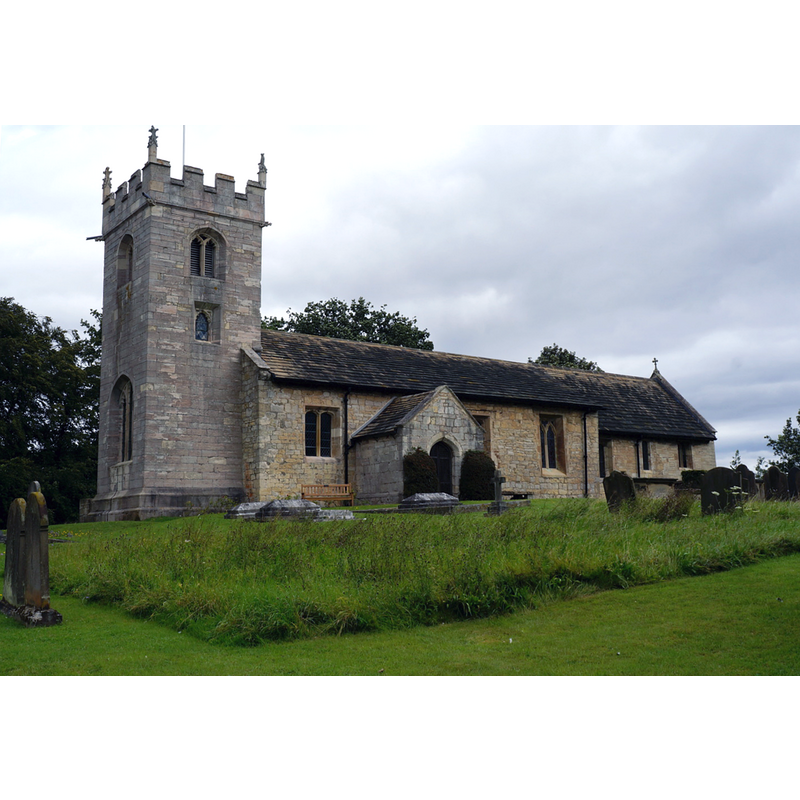
Image copyright © Ian S, 2014
CC-BY-SA-2.5
Results: 1 records
view of church exterior - southwest view
Scene Description: Source caption: "All Saints Church, Wighill"
Copyright Statement: Image copyright © Ian S, 2014
Image Source: digital photograph 16 August 2014 by Ian S [https://www.geograph.org.uk/photo/4130971] [accessed 14 September 2022]
Copyright Instructions: CC-BY-SA-2.5
INFORMATION
Font ID: 11212WIG
Object Type: Baptismal Font1
Font Century and Period/Style: 17th century
Church / Chapel Name: Parish Church of All Saints
Font Location in Church: Inside the church, by the N entranceway
Church Patron Saint(s): All Saints
Church Notes: for a full study of the Romanesque decoration of this church see the CRSBY entry [https://www.crsbi.ac.uk/view-item?i=8208] [accesed 14 September 2022]
Church Address: Church Ln, Wighill, Tadcaster LS24 8BG, United Kingdom
Site Location: North Yorkshire [form. West Yorkshire], Yorkshire and the Humber, England, United Kingdom
Directions to Site: Located 5 km N of Tadcaster, about 14 km WSW of York
Ecclesiastic Region: Diocese of York
Historical Region: Hundred of Ainsty [in Domesday] / formerly in the West Riding of Yorkshire
Additional Comments: disappeared font? (the one from the 12thC church here)
Font Notes:
Click to view
There is an entry for Wighill [variant spelling] in the Domesday survey [https://opendomesday.org/place/SE4746/wighill/] [accessed 14 September 2022], but it mentions neither cleric nor church in it. Baptismal font noted in Morris (1932): "Old font". The entry for this church in Historic England [Listing NGR: SE4735846580] notes: "Church. C12, and C15; with C17 fittings, restored 1912 [...] octagonal font near the north door". [NB: we have no information on the font of the 12th-century church here]
COORDINATES
UTM: 30U 612883 5975155
Latitude & Longitude (Decimal): 53.9125, -1.281419
Latitude & Longitude (DMS): 53° 54′ 45″ N, 1° 16′ 53.11″ W
MEDIUM AND MEASUREMENTS
Material: stone
REFERENCES
- Morris, Joseph Ernest, The West Riding of Yorkshire, London: Methuen & Co., 1932, p. 537