Greasbrough / Greseburg / Gersebroc
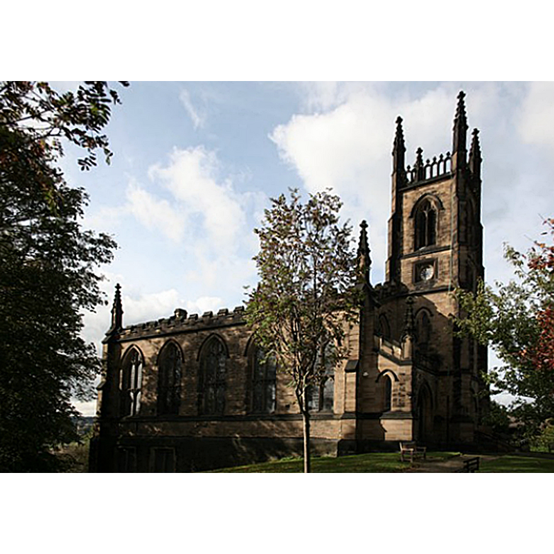
Image copyright © Richard Croft, 2006
CC-BY-SA-2.0
Results: 1 records
view of church exterior - north view
Scene Description: EXT N digital photograph taken 23 October 2006 by Richard Croft [www.geograph.org.uk/photo/265565] [accessed 8 November 2018]
Copyright Statement: Image copyright © Richard Croft, 2006
Image Source: digital photograph taken 23 October 2006 by Richard Croft [www.geograph.org.uk/photo/265565] [accessed 8 November 2018]
Copyright Instructions: CC-BY-SA-2.0
INFORMATION
Font ID: 11119GRE
Object Type: Baptismal Font1?
Church / Chapel Name: Parish Church of St. Mary, Greasbrough
Font Location in Church: [N/A]
Church Patron Saint(s): St. Mary the Virgin
Church Address: Church St, Greasbrough, Rotherham S61 4DX, UK -- Tel.: 01709 279 192
Site Location: South Yorkshire, Yorkshire and the Humber, England, United Kingdom
Directions to Site: Located off (W) the A6123, 3 km N of Rotherham
Ecclesiastic Region: Diocese of Sheffield
Historical Region: Hundred of Strafforth -- formerly WRYrks
Font Notes:
Click to view
There are two entries for Greasbrough [variant spellings] in the Domesday survey [http://opendomesday.org/place/SK4195/greasbrough/] [accessed 8 November 2018] neither of which mentions cleric or church in it. The entry for this church in Historic England [Listing NGR: SK4181595677] and in Harman & Pevsner (2017) date the present church to 1826-1828, but mention an "Octagonal font with excellent Jacobean carved-oak cover now raised as a canopy on C20 frame (removed from Rotherham All Saints Church c1875)" in it. [NB: there are burial records for Gainsbrough that go back to 1813; we found a 5 February 1809 baptismal record for a Charles Whittington, christened in Gainsbrough St Mary's [https://mosleyfamilies.net/genealogy/showmedia.php?mediaID=2848&medialinkID=3952] [accessed 8 November 2018] -- was there an earlier church here?]
COORDINATES
UTM: 30U 608164 5924223
Latitude & Longitude (Decimal): 53.4559, -1.371
Latitude & Longitude (DMS): 53° 27′ 21.24″ N, 1° 22′ 15.6″ W
LID INFORMATION
Date: Jacobean
Material: wood, oak?
Notes: [cf. FontNotes]
REFERENCES
- Harman, Ruth, Yorkshire West Riding: Sheffield and the South, New Haven; London: Yale University Press, 2017, p. 261
- Pevsner, Nikolaus, Yorkshire: the West Riding, Harmondsworth: Penguin Books, 1986 c1967, p. 44