Conington nr. St. Ives / Contone / Cunitone
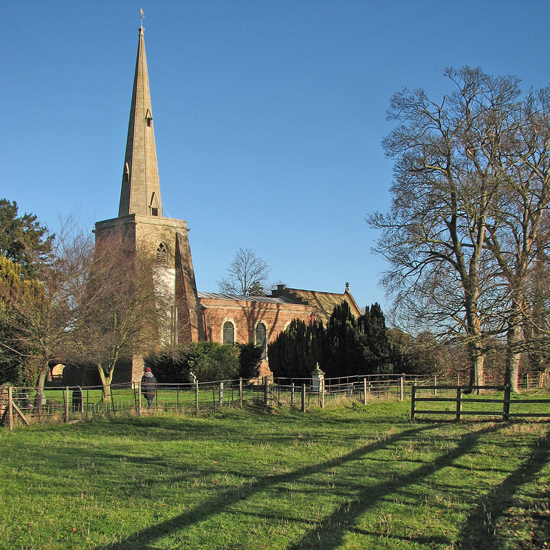
Image copyright © John Sutton, 2013
CC-BY-SA-2.0
Results: 1 records
view of church exterior - southwest view
Copyright Statement: Image copyright © John Sutton, 2013
Image Source: digital photograph taken 29 December 2013 by John Sutton [www.geograph.org.uk/photo/3794485] [accessed 30 June 2016]
Copyright Instructions: CC-BY-SA-2.0
INFORMATION
Font ID: 10949CON
Object Type: Baptismal Font1
Font Century and Period/Style: 14th century?, Decorated
Church / Chapel Name: Parish Church of St. Mary
Font Location in Church: Located now in the tower gallery since 1870 [earlier in the N side of the nave]
Church Patron Saint(s): St. Mary the Virgin
Church Address: 6 School Lane, Conington, Cambridgeshire CB3 8LP
Site Location: Cambridgeshire, East, England, United Kingdom
Directions to Site: Located off (S) the A14, near St Ives [NB: not to be confused with another Conington located S of Peterborough]
Ecclesiastic Region: Diocese of Ely
Historical Region: Hundred of Papworth
Additional Comments: recycled font / abandoned font (replaced by a 19th-century font and no longer in use) -- disappeared font? (the one from the original early-13thC church here)
Font Notes:
Click to view
There are five entries for this Conington [variant spelling] in the Domesday survey [http://opendomesday.org/place/TL3266/conington/] [accessed 30 June 2016], none of which mentions cleric or church in it. The RCHM (Cambridgeshire, 1968) does not mention a font in this church. The Victoria County History (Cambridge…, vol. 9, 1989) notes: "The advowson of Conington church, recorded by 1217, (fn. 14) presumably belonged originally to the Picot fee. […] Carved fragments including the top of a piscina survive from a 12th-century building. […] The medieval chancel survived until 1870 […]; a new font was given". The Parish of St Mary's web site [www.henyhill.org/cthi.html] informs: "The font, at the east end of the nave, replaced a far older font, now in the tower gallery, which had projected from the wall on the north side, also in 1870."
COORDINATES
UTM: 30U 700140 5795864
Latitude & Longitude (Decimal): 52.276661, -0.066215
Latitude & Longitude (DMS): 52° 16′ 35.98″ N, 0° 3′ 58.37″ W
MEDIUM AND MEASUREMENTS
Material: stone