Tilbrook / Tilebroc / Tillebrok
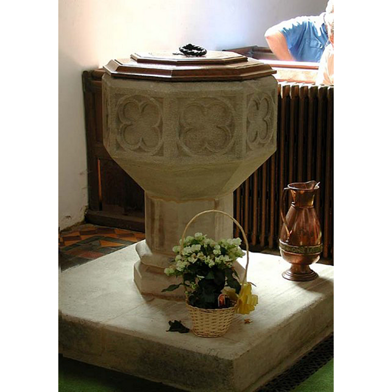
Image copyright © John Salmon, 2003
CC-BY-SA-2.0
Results: 3 records
design element - motifs - quatrefoil
Copyright Statement: Image copyright © John Salmon, 2003
Image Source: digital photograph taken 19 July 2003 by John Salmon [www.geograph.org.uk/photo/380802] [accessed 13 October 2011]
Copyright Instructions: CC-BY-SA-2.0
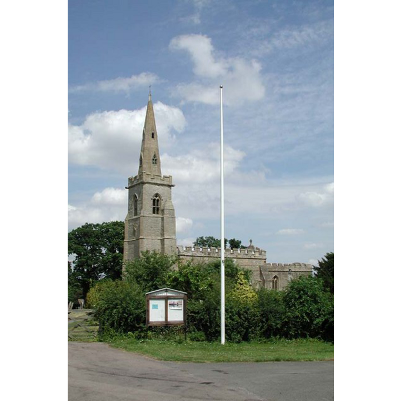
view of church exterior - southwest view
Copyright Statement: Image copyright © John Salmon, 2003
Image Source: digital photograph taken 19 July 2003 by John Salmon [www.geograph.org.uk/photo/380795] [accessed 13 October 2011]
Copyright Instructions: CC-BY-SA-2.0
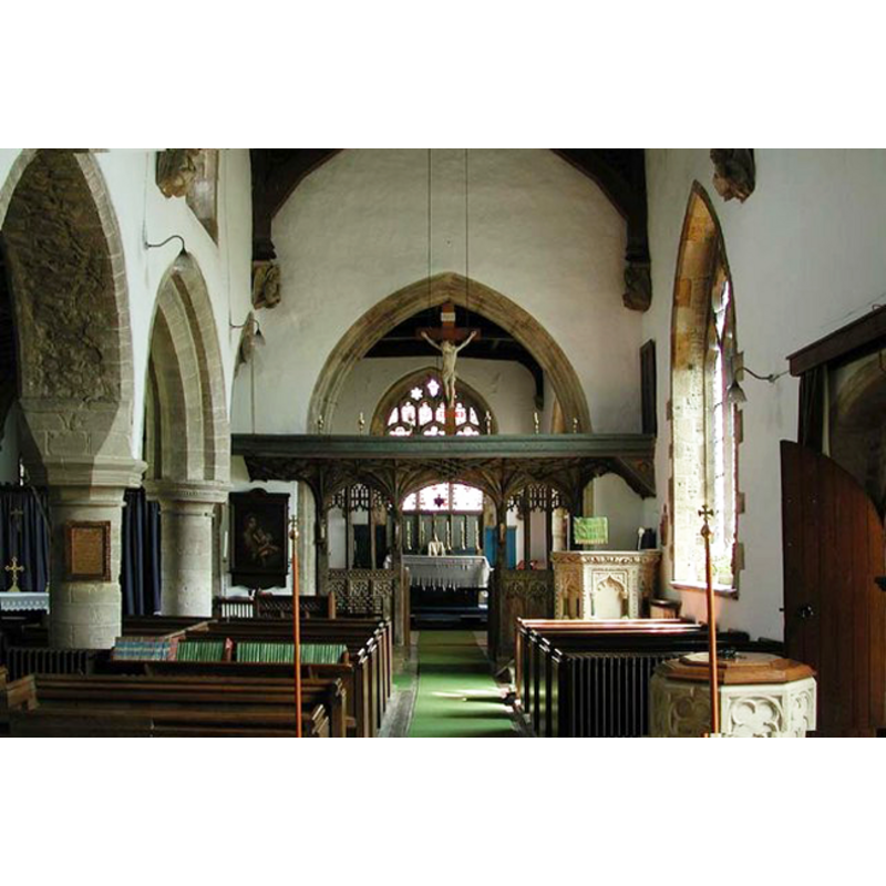
view of church interior - nave - looking east
Scene Description: the top of the font and its cover in the foreground, right (south) side
Copyright Statement: Image copyright © John Salmon, 2003
Image Source: digital photograph taken 19 July 2003 by John Salmon [www.geograph.org.uk/photo/380805] [accessed 13 October 2011]
Copyright Instructions: CC-BY-SA-2.0
INFORMATION
Font ID: 10684TIL
Object Type: Baptismal Font1
Font Century and Period/Style: 14th - 16th century[restored?], Late Medieval [altered]
Church / Chapel Name: Parish Church of All Saints
Font Location in Church: Inside the church, at the W end of the nave, S side -- Reported in the churchyard ca. 1968; moved inside the church at a later date?
Church Patron Saint(s): All Saints
Church Notes: original church here 12thC
Church Address: 26 Church Lane, Tilbrook, Cambridgeshire PE28 0JT
Site Location: Cambridgeshire, East, England, United Kingdom
Directions to Site: Located on the B645, 3 km S of Kimbolton, 25 km NE of Bedford
Ecclesiastic Region: Diocese of Ely
Historical Region: Hundred of Stodden -- formerly Bedfordshire and Huntingdonshire
Additional Comments: the present font appears to be a recent restoration of the basin reported in the churchyard ca. 1968 -- disappeared font? (the one from the 12th-century church?)
Font Notes:
Click to view
There is an entry for Tilbrook [variant spelling] in the Domesday survey [http://opendomesday.org/place/TL0769/tilbrook/] [accessed 15 September 2015], but it mentions neither cleric nor church in it. The Victoria County History (Bedford, vol. 3, 1912) notes: "The 12th-century church had a narrow chancel and a nave of which the east wall was about 12 ft. and the west wall about 6 ft. westward of those of the present nave, and the east end of the chancel was a few feet eastward of the present chancel arch. About 1180 a narrow north aisle was added and some forty years later extended eastward for the full length of the chancel, the chancel arch being entirely removed." There is no mention of a font in the VCH entry, but a font appears on the plan of the church which illustrates the entry: it is located towards the west end of the nave, on the south side, by the entranceway. Noted in Pevsner (1968) (after GMcH): "Font. In the churchyard the bowl of a Perp font with quatrefoils". [NB: a font fitting the description of the one reported by Pevsner in the churchyard ca. 1968, is now inside the church].
COORDINATES
UTM: 30U 676142 5798754
Latitude & Longitude (Decimal): 52.310824, -0.416065
Latitude & Longitude (DMS): 52° 18′ 38.96″ N, 0° 24′ 57.83″ W
MEDIUM AND MEASUREMENTS
Material: stone
Font Shape: octagonal, mounted
Basin Interior Shape: round
Basin Exterior Shape: octagonal
LID INFORMATION
Date: modern
Material: wood, oak
Apparatus: no
Notes: octagonal, moulded; with ring handle
REFERENCES
- Victoria County History [online], University of London, 1993-. URL: https://www.british-history.ac.uk.
- Pevsner, Nikolaus, Bedfordshire and the County of Huntingdon and Peterborough, Harmondsworth: Penguin, 1968, p. 356