Wootton nr. Bedford / Otone / Wutton
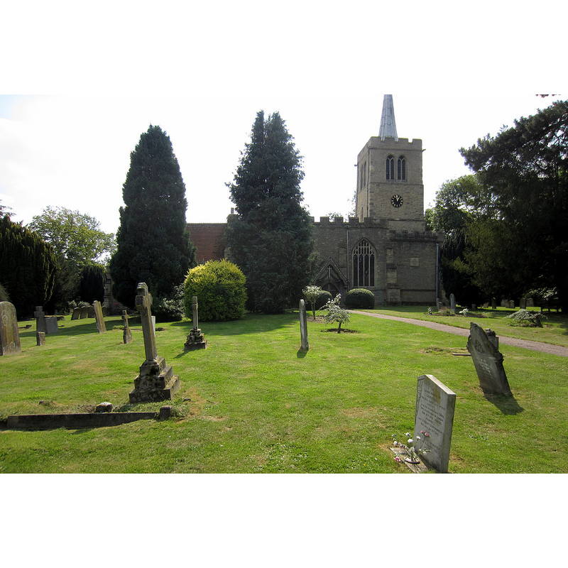
Image copyright © Philip Jeffrey, 2013
CC-BY-SA-2.0
Results: 3 records
view of church exterior - north view
Copyright Statement: Image copyright © Philip Jeffrey, 2013
Image Source: digital photograph taken 4 September 2013 by Philip Jeffrey [www.geograph.org.uk/photo/3637359] [accessed 14 October 2015]
Copyright Instructions: CC-BY-SA-2.0
design element - patterns - tracery


design element - motifs - panel
INFORMATION
Font ID: 10639WOO
Object Type: Baptismal Font1?
Font Century and Period/Style: 12th century / 15th century, Medieval
Church / Chapel Name: Parish Church of St. Mary the Virgin
Font Location in Church: [cf. FontNotes]
Church Patron Saint(s): St. Mary the Virgin
Church Notes: original church documented since mi-12thC; present church chiefly 14thC
Church Address: 13 Church Row, Wootton, Bedford Borough MK43 9HF
Site Location: Bedfordshire, East, England, United Kingdom
Directions to Site: Located 7 km SW of Bedford
Ecclesiastic Region: Diocese of St. Albans
Historical Region: Hundred of Redbornestoke
Additional Comments: disappeared font? (the one from the mid-12thC church here) [NB: was Pevsner right about a Perpendicular font here? [cf. FontNotes] If so, where is it?]
Font Notes:
Click to view
There is an entry for this Wootton [variant spelling] in the Domesday survey [http://opendomesday.org/place/TL0045/wootton/] [accessed 21 September 2015], but it mentions neither cleric nor church in it. Kelly's Directory of Bedforsdshire (1898) has: "the font, pulpit and other fittings are all modern". The Victoria County History (Bedford, vol. 3, 1912) notes: "The church of Wootton was bestowed on Newnham Priory by Simon de Beauchamp in his foundation charter c. 1166 [...] The church dates from the early part of the 14th century [...] The whole has been much restored [...] Near the south door is the modern font." Pevsner (1968), however, notes: "Font. Perp[endicular], octagonal, with panelled stem and traceried bowl." The Bedford Borough Council web site [www.bedfordshire.gov.uk] [accessed 24 October 2011] entry for this church notes: "A new font was made and installed in 1857", but does not inform of the whereabouts of the old font.
COORDINATES
UTM: 30U 668771 5774457
Latitude & Longitude (Decimal): 52.0949, -0.5362
Latitude & Longitude (DMS): 52° 5′ 41.64″ N, 0° 32′ 10.32″ W
REFERENCES
- Victoria County History [online], University of London, 1993-. URL: https://www.british-history.ac.uk.
- Kelly, Kelly's Directory for Bedfordshire, London: Kelly's Directories Ltd., 1898, [unknown]
- Pevsner, Nikolaus, Bedfordshire and the County of Huntingdon and Peterborough, Harmondsworth: Penguin, 1968, p. 172