Holcot nr. Bedford / Holecote / Hulcote
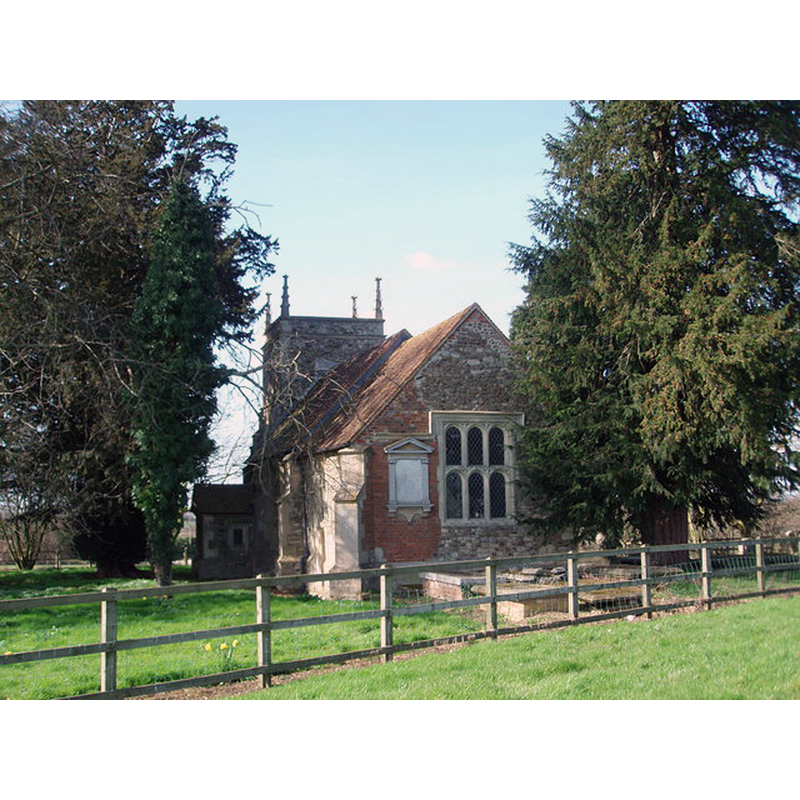
Image copyright © Richard Schmidt, 2007
CC-BY-SA-2.0
Results: 1 records
view of church exterior - southeast view
Copyright Statement: Image copyright © Richard Schmidt, 2007
Image Source: digital photograph taken 16 March 2007 by Richard Schmidt [www.geograph.org.uk/photo/368185] [accessed 22 September 2015]
Copyright Instructions: CC-BY-SA-2.0
INFORMATION
Font ID: 10633HOL
Object Type: Baptismal Font1?
Font Century and Period/Style: 12th - 13th century, Medieval
Church / Chapel Name: Parish Church of St. Nicholas
Church Patron Saint(s): St. Nicholas of Myra
Site Location: Bedfordshire, East, England, United Kingdom
Directions to Site: Located N of the M1, near the county border with Bucks.
Ecclesiastic Region: Diocese of St. Albans
Historical Region: Hundred of Manshead
Additional Comments: disappeared font? (the one from the 12thC church here)
Font Notes:
Click to view
There are two entries for this Holcot [variant spelling] in the Domesday survey [http://opendomesday.org/place/SP9438/holcot/] [accessed 22 September 2015], neither of which mentions cleric or church in it. The Victoria County History (Bedfordshire, vol. 3, 1912) notes: "In 1291 the church was valued at £8 [...] The [present] church is [...] a very interesting and complete specimen of a late 16th-century building [...] There is a small plain font under the west gallery, which is of the 17th century, supported by Doric columns." Noted in Pevsner (1968) as a baptismal font of the 18th century. The Holcot Parish Council web site [www.holcotvillage.co.uk/holcot-in-history/] [accessed 15 September 2011] notes: "The first Church in Holcot was endowed early in the 12th century by King David of Scotland. Building of the present Church, dedicated to St Mary and All Saints, began in the early 13th century" [NB: we have no information from the earlier medieval font(s) in this church].
COORDINATES
UTM: 30U 662916 5768139
Latitude & Longitude (Decimal): 52.0399, -0.6246
Latitude & Longitude (DMS): 52° 2′ 23.64″ N, 0° 37′ 28.56″ W
REFERENCES
- Victoria County History [online], University of London, 1993-. URL: https://www.british-history.ac.uk.
- Pevsner, Nikolaus, Bedfordshire and the County of Huntingdon and Peterborough, Harmondsworth: Penguin, 1968, p. 100