Aspley Guise / Aspel / Aspelegise / Aspeleia / Asperele / Aspleia / Aspslea
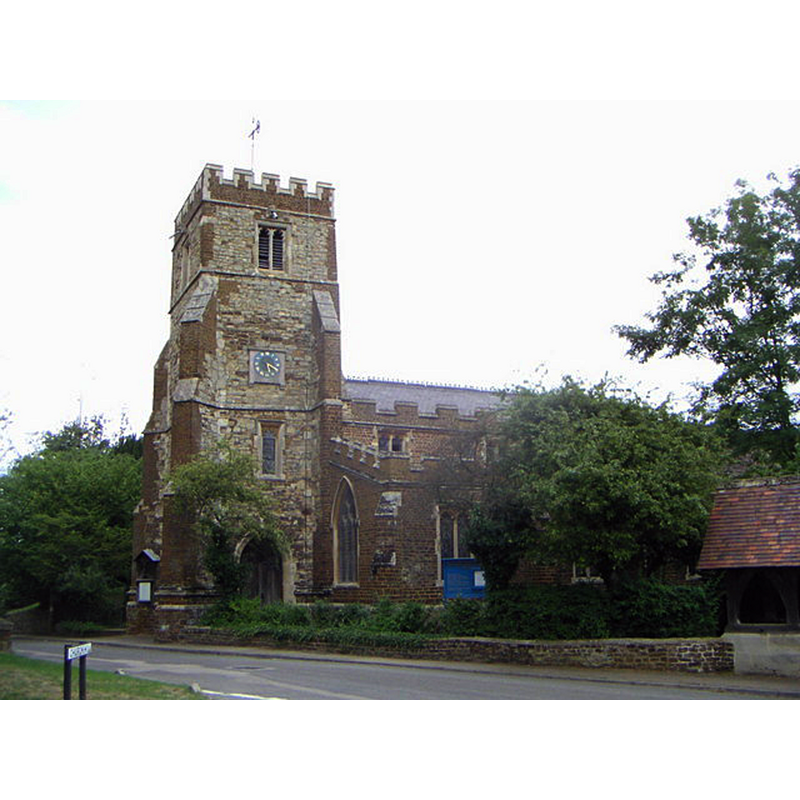
Image copyright © Mr Biz, 2006
CC-BY-SA-2.0
Results: 1 records
view of church exterior - south view
Copyright Statement: Image copyright © Mr Biz, 2006
Image Source: digital photograph taken 11 August 2006 by Mr Biz [www.geograph.org.uk/photo/217781] [accessed 21 September 2015]
Copyright Instructions: CC-BY-SA-2.0
INFORMATION
Font ID: 10607ASP
Object Type: Baptismal Font1
Font Century and Period/Style: 14th century, Medieval
Church / Chapel Name: Parish Church of St. Botolph
Font Location in Church: Inside the church
Church Patron Saint(s): St. Botulph [aka St. Botolph, Botolph of Thorney, Botulf]
Church Address: Church Street, Aspley Guise, Bedfordshire, MK17 8HN
Site Location: Bedfordshire, East, England, United Kingdom
Directions to Site: Located 4 km NW of Woburn, 10 km from Milton Keynes, near the Bucks. border
Ecclesiastic Region: Diocese of St. Albans
Historical Region: Hundred of Manshead
Additional Comments: disappeared font? (the one from the 12thC church here)
Font Notes:
Click to view
There is an entry for Aspley [Guise] [variant spelling] in the Domesday survey [http://opendomesday.org/place/SP9436/aspley-guise/] [accessed 21 September 2015], but it mentions neither ckeric nor church in it. The Victoria County History (Bedford, vol. 3, 2011) notes: "The church and two parts of the tithes of Aspley Guise were granted to Newnham Priory by Simon de Beauchamp, which grant was subsequently confirmed by the Bishop of Lincoln and Henry II" [1154+ ] The [present] church of St. Botolph has been so much altered and repaired in modern times that its architectural history is in large measure uncertain. [...] The font is circular, dating from the 14th century, with shafts at the angles with moulded capitals and bases." Pevsner (1960) mentions a baptismal font, "drum-shaped, with four shafts", perhaps of the 13th century. [NB: we have no information on the font from the 12th-century church].
COORDINATES
UTM: 30U 662717 5765499
Latitude & Longitude (Decimal): 52.016239, -0.628756
Latitude & Longitude (DMS): 52° 0′ 58.46″ N, 0° 37′ 43.52″ W
MEDIUM AND MEASUREMENTS
Material: stone
Font Shape: round, mounted
Basin Interior Shape: round
Basin Exterior Shape: round
REFERENCES
- Victoria County History [online], University of London, 1993-. URL: https://www.british-history.ac.uk.
- Pevsner, Nikolaus, Bedfordshire and the County of Huntingdon and Peterborough, Harmondsworth: Penguin, 1968, p. 43