Fawley nr. Henley / Falelei / Falelie / Fallay / Falle / Fallegh / Fauley
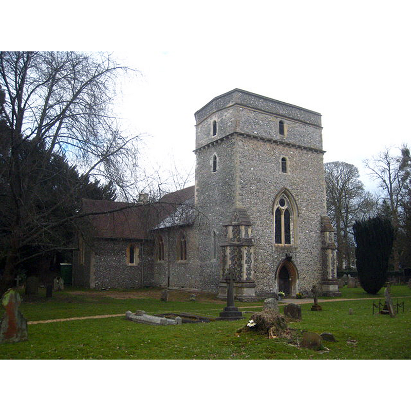
Image copyright © Rod Allday, 2013
CC-BY-SA-2.0
Results: 2 records
view of church exterior - northwest view
Copyright Statement: Image copyright © Rod Allday, 2013
Image Source: digital photograph taken 30 March 2013 by Rod Allday [www.geograph.org.uk/photo/3748909] [accessed 25 May 2015]
Copyright Instructions: CC-BY-SA-2.0
view of church exterior - south view
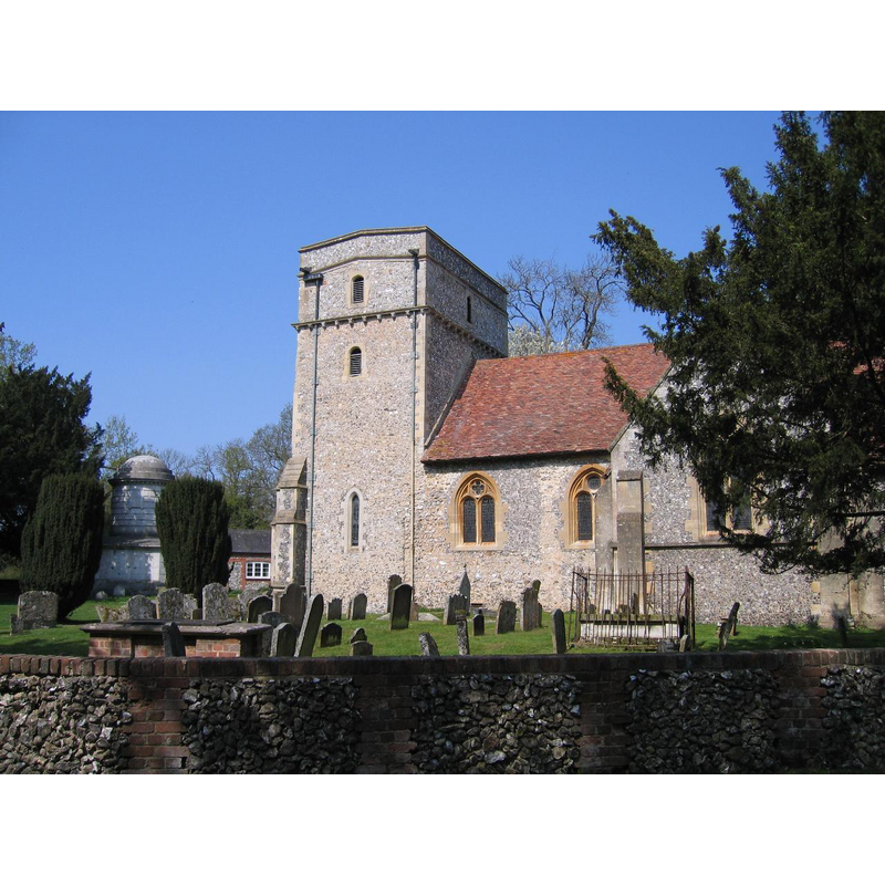
Copyright Statement: Image copyright © Simb1001, 2007
Image Source: digital photograph taken 15 April 2007 by Smb1001 [http://en.wikipedia.org/wiki/File:St_Mary's,_Fawley.jpg] [accessed 25 May 2015]
Copyright Instructions: CC-BY-SA-2.0
INFORMATION
Font ID: 10587FAW
Object Type: Baptismal Font1
Font Century and Period/Style: 12th century, Late Norman? / Transitional?
Church / Chapel Name: Parish Church of St. Mary the Virgin [originally from the chapel at Canons]
Font Location in Church: [cf. FontNotes]
Church Patron Saint(s): St. Mary the Virgin
Site Location: Buckinghamshire, South East, England, United Kingdom
Directions to Site: Located 5 km N of Henley -- Canons is located near Edgware
Ecclesiastic Region: Diocese of Oxford
Historical Region: Hundred of Desborough
Additional Comments: recycled font: originally from an aristocrat's chapel, later in a parish church -- disappeared font: (the one from the original 12thC church here)
Font Notes:
Click to view
There is an entry for this Fawley [variant spelling] in the Domesday survey [http://opendomesday.org/place/SU7686/fawley/] [accessed 25 May 2015] but it mentions neither cleric nor church in it. A reference to the font in the church at Fawley is found in the Lysons (1806), who inform that the church was fitted up in 1748 and many of the furnishings, including the baptismal font "were brought from the chapel at Canons, the magnificant residence of the duke of Chandos, which had been pulled down and sold piece-meal the preceeing year." [NB: James Brydges, duke of Chandos, 1674-1744] -- [The reference to Fawley in Lysons' transcription can be found in www.genuki.com]. The same information on the font is given in Langley (1797). Lewis' Dictionary of 1848 reports also that the font came from the chapel at Canons. Sheahan (1862) reports: "The font is of white marble and small." No font mentioned in the RCAHM (Buckinghamshire, 1912) entry for this church. A font is noted in Pevsner (1960). The Parish web site [http://hambleden-valley-churches.org.uk/FAWhistory.htm] [accessed 9 December 2011] reports the font in use as being from 1884, made of marble. The Victoria County History (Buckingham, vol. 3, 1925) notes that the earliest part of the church, the nave, dates from the 12th century, but we have no information on the font of that building.
COORDINATES
UTM: 30U 644495 5715736
Latitude & Longitude (Decimal): 51.574148, -0.914833
Latitude & Longitude (DMS): 51° 34′ 26.93″ N, 0° 54′ 53.4″ W
REFERENCES
- Victoria County History [online], University of London, 1993-. URL: https://www.british-history.ac.uk.
- Langley, Thomas, The History and Antiquities of the Hundred of Desborough, and Deanery of Wycombe, in Buckinghamshire […], London: Printed for R. Faulder […] and B. and J. White, 1797, p. 196
- Lewis, Samuel, A Topographical Dictionary of England, Comprising the Several Counties, Cities, Boroughs, Corporate and Market Towns, Parishes, Chapelries, and Townships, and the Islands of Guernsy, Jersey, and Man, with Historical and Statistical Descriptions [...], London: S. Lewis, 1831, [www.british-history.ac.uk/report.asp?compid=50958] [accessed 5 February 2007]
- Lysons, Daniel, Magna Britannia, being a concise topographical account of the several counties of Great Britain, London: Printed for T. Cadell and W. Davies, 1806-1822, [unknown]
- Pevsner, Nikolaus, Buckinghamshire, Harmondsworth: Penguin, 1960, p. 134
- Sheahan, James Joseph, History and topography of Buckinghamshire, comprising a general survey of the county, preceded by an epitome of the early history of Great Britain, London; Pontefract: Longman, Green, Longman, and Roberts; William Edward Bonas [...], 1862, p. 883