Long Riston / Ristun / Ristuna
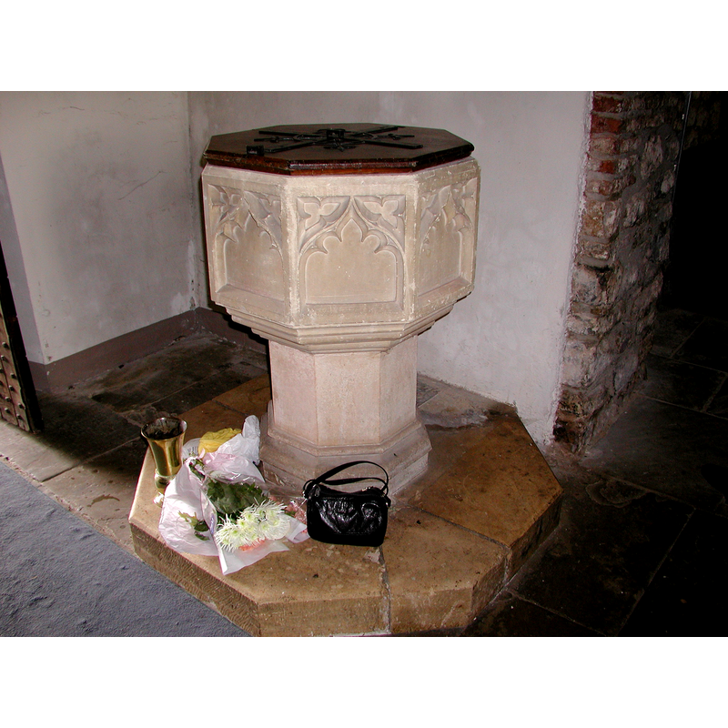
Image copyright © Colin Hinson, 2008
Image and permission received (e-mail of 17 July 2004)
Results: 7 records
view of font and cover - northeast side
Scene Description: the modern font
Copyright Statement: Image copyright © Colin Hinson, 2008
Image Source: digital photograph taken in July 2004 by Colin Hinson [www.yorkshireCDbooks.coml]
Copyright Instructions: Image and permission received (e-mail of 17 July 2004)
design element - architectural - arcade - blind - cinquefoiled arches - 8

Scene Description: the modern font
Copyright Statement: Image copyright © Ian S, 2016
Image Source: digital photograph taken 25 November 2016 by Ian S [www.geograph.org.uk/photo/5207620] [accessed 6 November 2019]
Copyright Instructions: CC-BY-SA-2.0
symbol - triquetra - 16
Scene Description: the modern font
Copyright Statement: Image copyright © Ian S, 2016
Image Source: digital photograph taken 25 November 2016 by Ian S [www.geograph.org.uk/photo/5207620] [accessed 6 November 2019]
Copyright Instructions: CC-BY-SA-2.0
view of basin - interior
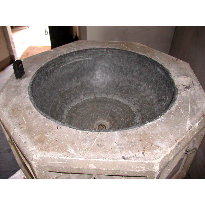
Scene Description: the modern font
Copyright Statement: Image copyright © Colin Hinson, 2008
Image Source: digital photograph taken in July 2004 by Colin Hinson [www.yorkshireCDbooks.coml]
Copyright Instructions: Image and permission received (e-mail of 17 July 2004)
view of church exterior - northeast view
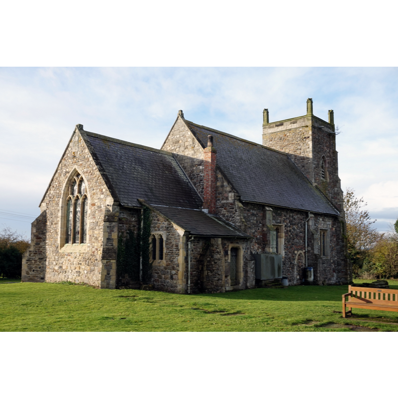
Copyright Statement: Image copyright © Ian S, 2016
Image Source: digital photograph taken 18 November 2016 by Ian S [www.geograph.org.uk/photo/5197844] [accessed 6 November 2019]
Copyright Instructions: CC-BY-SA-2.0
view of church exterior in context
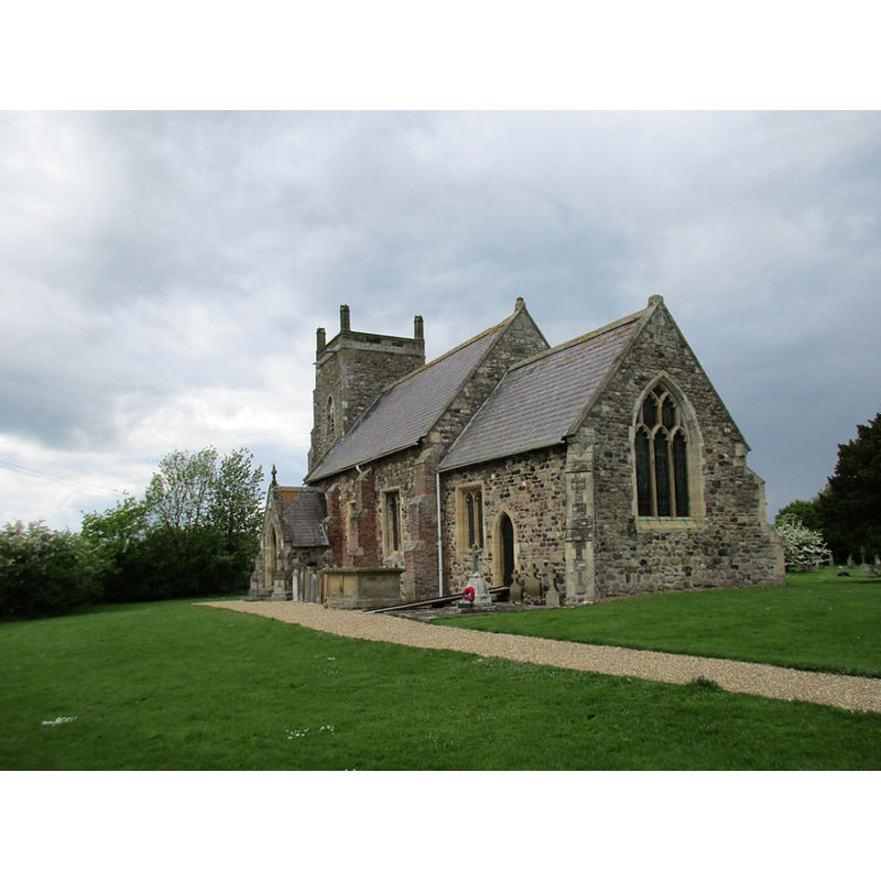
Scene Description: Source caption: "St. Margaret's church, Long Riston. A terrible example of the fad for tidying up churchyards in the 1960s and 70s. It looks as if the few remaining monuments and the church have been swept up into a heap and dumped in the middle of a sea of grass."
Copyright Statement: Image copyright © Jonathan Thacker, 2017
Image Source: digital photograph taken 20 May 2017 by Jonathan Thacker [www.geograph.org.uk/photo/5398997] [accessed 6 November 2019]
Copyright Instructions: CC-BY-SA-2.0
view of font and cover in context - northeast side
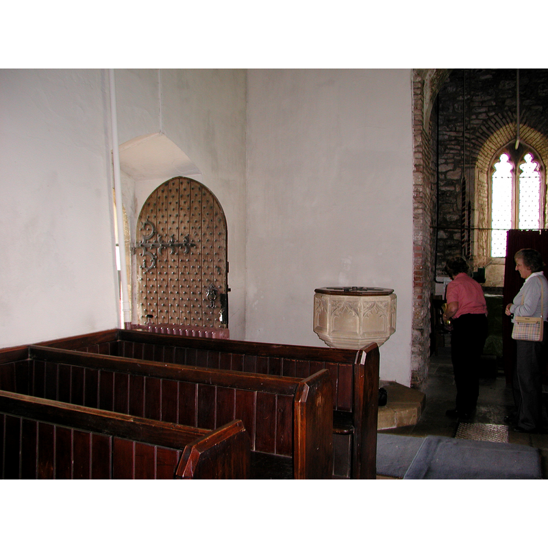
Scene Description: the modern font
Copyright Statement: Image copyright © Colin Hinson, 2008
Image Source: digital photograph taken in July 2004 by Colin Hinson [www.yorkshireCDbooks.coml]
Copyright Instructions: Image and permission received (e-mail of 17 July 2004)
INFORMATION
Font ID: 10070RIS
Object Type: Baptismal Font1?
Font Date: ca. 1170?
Font Century and Period/Style: 12th century (late?), Late Norman
Church / Chapel Name: Parish Church of St. Margaret
Church Patron Saint(s): St. Margaret of Antioch [aka Margaret the Virgin, Marina]
Church Address: Catwick Ln, Long Riston, Hull HU11 5JT, UK -- Tel.: +44 1964 564634
Site Location: East Riding of Yorkshire, Yorkshire and the Humber, England, United Kingdom
Directions to Site: Located off (E) the A165, 10 km ENE of Beverley, 14-15 km N of Hull
Ecclesiastic Region: Diocese of York
Historical Region: Hundred of Holderness [North Hundred]
Additional Comments: disappeared font? (the one from the ca. 1170 church here)
Font Notes:
Click to view
There are two entries for [Long] Riston [variant spellings] in the Domesday survey [https://opendomesday.org/place/TA1242/long-riston/] [accessed 6 November 2019], the first of which, a multiple-place entry, reports a priest and a church in it; this church may have been the one at Hornsea, one of the places mentioned. The entry for this parish in the Victoria County History (York East Riding, vol. 7, 2002) notes: "A church was built at Long Riston by Alan de Scures, and c. 1170 his son William acknowledged it to be subordinate to the church at Hornsea [...] The church of ST. MARGARET, so called in 1434 [...] The thick walls and the proportions of the nave suggest the church's 12th-century origin, although both surviving doorways are of the 14th century [...] The tower was added in the 14th century"; no font mentioned. The entry for this church in Historic England [Listing NGR: TA1233042725] notes: "Church. C13 origins with C14 tower, C17 buttresses to south side, nave and chancel heavily restored in 1855, tower repaired in 1881. [...] C19 octagonal font with traceried decoration on octagonal shaft." The present font is modern; it consists of an octagonal basin with vertical sides ornamented with tracery: a wide cinquefoil arch or window on each face, with a triquetra in each of the spandrels; the underbowl has a graded chamfer; the pedestal base has a plain stem with vertical sides and a moulded lower base, both octagonal, as are the plinth and the flat wooden cover. The well of the basin is lead-lined, with a central drain. The upper rim of the basin shows the metal staples of an older cover. [NB: we have no information on the font of the 12th-century church here].
Credit and Acknowledgements: We are grateful to Colin Hinson for the photographs of the modern font.
COORDINATES
UTM: 30U 677983 5972271
Latitude & Longitude (Decimal): 53.86835, -0.29298
Latitude & Longitude (DMS): 53° 52′ 6.06″ N, 0° 17′ 34.73″ W
LID INFORMATION
Apparatus: no
REFERENCES
- Victoria County History [online], University of London, 1993-. URL: https://www.british-history.ac.uk.