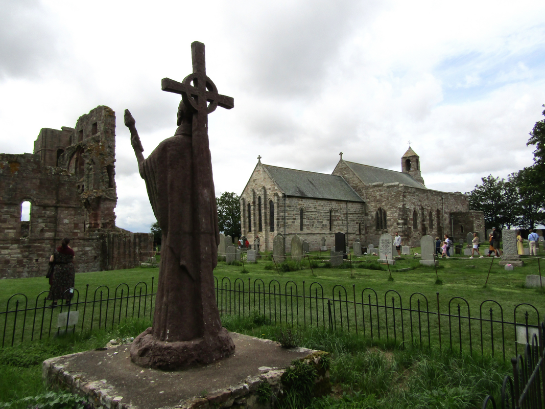
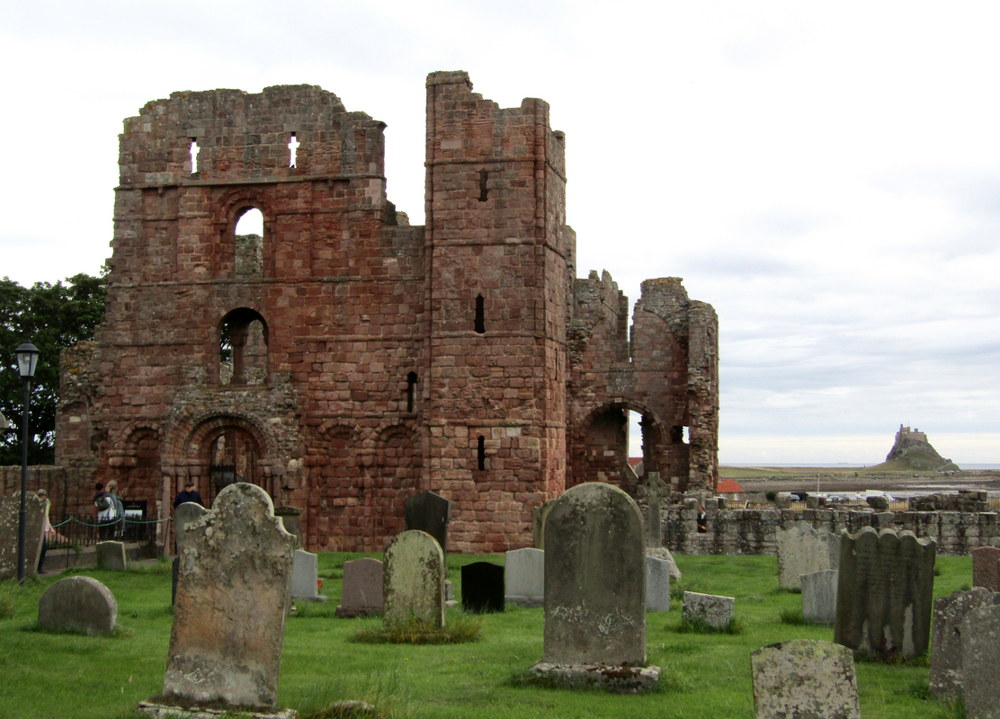
Holy Island / Lindisfarne
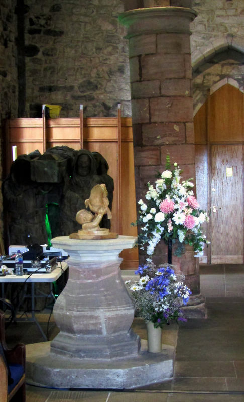
Image copyright © Colin Smith, 2026
Standing permission
Results: 10 records
view of font and cover in context
Scene Description: the 18thC(?) font
Copyright Statement: Image copyright © Colin Smith, 2026
Image Source: digital photograph 2025 by Colin Smith
Copyright Instructions: Standing permission
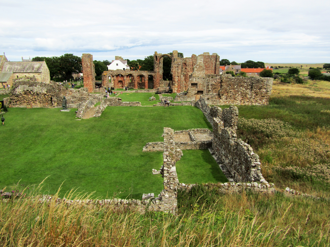
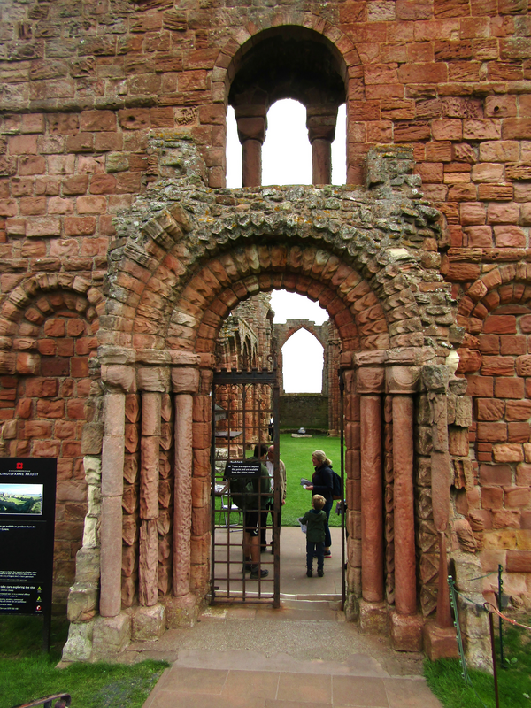
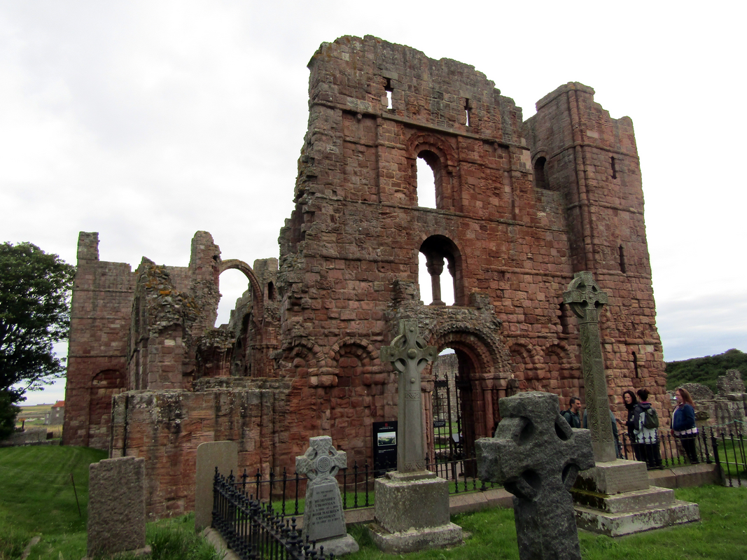
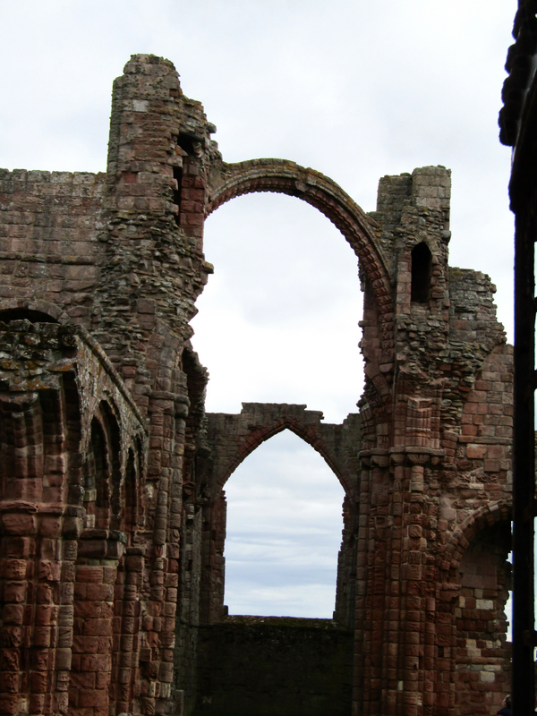
view of context
Copyright Statement: Image copyright © Colin Smith, 2026
Image Source: digital photograph 2025 by Colin Smith
Copyright Instructions: Standing permission
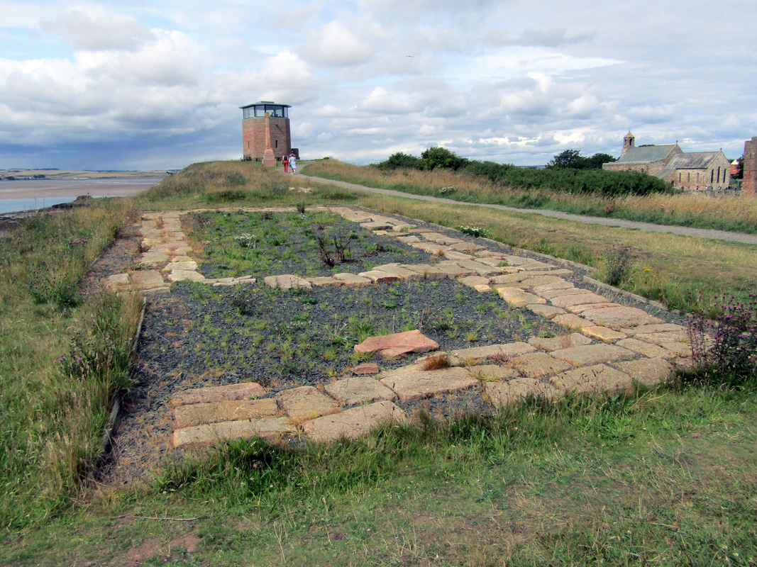
view of context
Copyright Statement: Image copyright © Colin Smith, 2026
Image Source: digital photograph 2025 by Colin Smith
Copyright Instructions: Standing permission
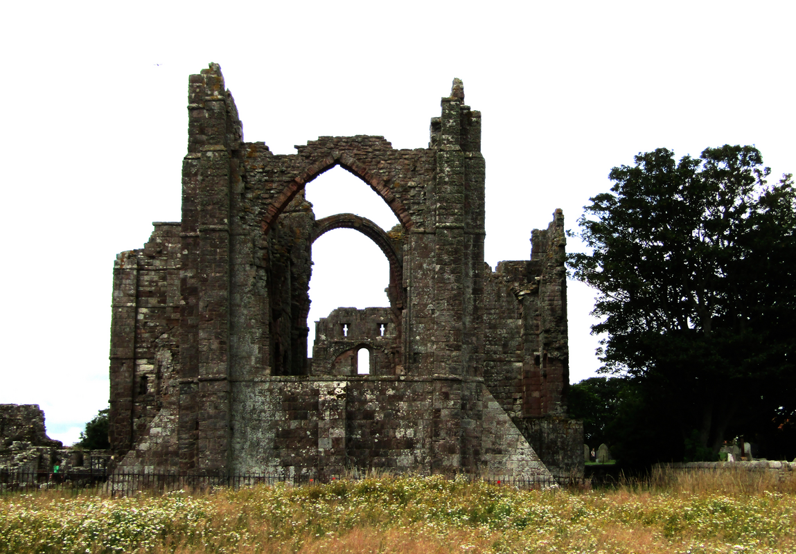
view of context
Copyright Statement: Image copyright © Colin Smith, 2026
Image Source: digital photograph 2025 by Colin Smith
Copyright Instructions: Standing permission
view of context
Copyright Statement: Image copyright © Colin Smith, 2026
Image Source: digital photograph 2025 by Colin Smith
Copyright Instructions: Standing permission
view of context
Copyright Statement: Image copyright © Colin Smith, 2026
Image Source: digital photograph 2025 by Colin Smith
Copyright Instructions: Standing permission
view of context
Copyright Statement: Image copyright © Colin Smith, 2026
Image Source: digital photograph 2025 by Colin Smith
Copyright Instructions: Standing permission
view of context
Copyright Statement: Image copyright © Colin Smith, 2026
Image Source: digital photograph 2025 by Colin Smith
Copyright Instructions: Standing permission
view of context
Copyright Statement: Image copyright © Colin Smith, 2026
Image Source: digital photograph 2025 by Colin Smith
Copyright Instructions: Standing permission
view of object
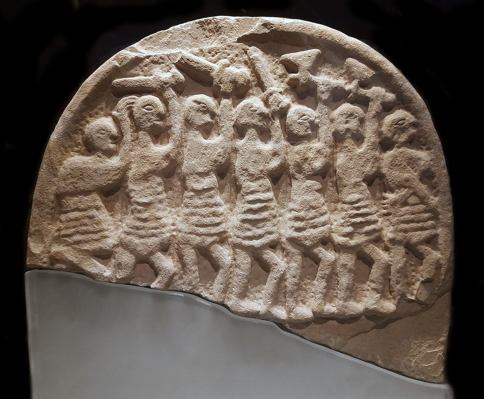
Scene Description: "Viking Raider Doomsday Stone; Kloster Lindisfarne, Holy Island; ca. 1. Viertel 9. Jh., Sandstein; Lindisfarne, English Heritage, Lindisfarne Priory, Inv. 81077057; Ausstellung "Die Normannen", Reiss-Engelhorn-Museen Mannheim. Date Work: between 800 and 825"
Copyright Statement: Image copyright © Schillerwein, 2022
Image Source: digital photograph 2022 by Schillerwein
Copyright Instructions: CC0 1.0 / PD
INFORMATION
Font ID: 09861LIN
Object Type: Baptismal Font1
Font Century and Period/Style: 18th century (?), composite font
Church / Chapel Name: Parish Church of St. Mary
Font Location in Church: Inside
Church Patron Saint(s): St. Mary the Virgin
Church Notes: Lindisfarne Abbey was first established in 634 AD; present church 1180-1300, but some remains may be Anglo-Saxon
Church Address: Crossgate Lane, Holy Island, Northumberland TD15 2RZ, United Kingdom / Church Ln, Holy Island, Berwick-upon-Tweed TD15 2RX, United Kingdom -- Tel.: +44 1289 389216
Site Location: Northumberland, North East, England, United Kingdom
Directions to Site: Located in the SW corner of the island, 8 km across from Belford and the A1, 20 km SE across from Berwick [crossing to the island by road only on low tide]
Historical Region: formerly Durham?
Additional Comments: disappeared font? (the font(s) of the medieval parish church here)
Town/City Wikipedia: https://en.wikipedia.org/wiki/Lindisfarne
Font Notes:
Click to view
The National Gazetteer of 1868 reports a very large font of stone in this church. Noted in Pevsner (1957): "Font. Probably C18, with a fat, bulgy octagonal baluster stem". The font is noted and illustrated in the Parish website [http://www.lindisfarne.org.uk/stmary/restoration.htm] [accessed 21 January 2010], where a recent renovation [phase I completed in January 2010] re-sited the font to the centre aisle. The font has a moulded shallow octagonal basin on the bulgy base described in Pevsner [cf. supra]; it appears to have a gilded cover; it is raised on a modern octagonal plinth. [NB: this parish church, located next to the Holy Island priory, is said to date from the 13th century or earlier, but we have no information on the earlier font]
Credit and Acknowledgements: We are grateful to Colin Smith for his photographs of this site and font
COORDINATES
UTM: 30U 575299 6171115
Latitude & Longitude (Decimal): 55.68, -1.8025
Latitude & Longitude (DMS): 55° 40′ 48″ N, 1° 48′ 9″ W
MEDIUM AND MEASUREMENTS
Material: stone
Font Shape: octagonal, mounted
Basin Interior Shape: round
Basin Exterior Shape: octagonal
LID INFORMATION
Material: wood
Notes: [cf. FontNotes]
REFERENCES
- The National Gazetteer: a Topographical Dictionary of the British Isles, London: Virtue & Co., 1868, [transcribed in http://www.bpears.org.uk/genuki/NBL/HolyIsland/Gaz1868.html [accessed 21 January 2010]]
- Pevsner, Nikolaus, Northumberland, Harmondsworth: Penguin Books, 1957, p. 188