Holwell nr. Burford
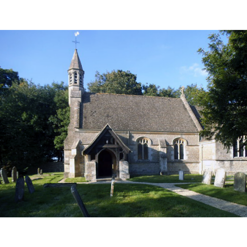
Image copyright © David Howard, 2017
CC-BY-SA-2.0
Results: 1 records
view of church exterior - south view
Copyright Statement: Image copyright © David Howard, 2017
Image Source: digital photograph taken 17 September 2017 by David Howard [www.geograph.org.uk/photo/5540677] [accessed 15 January 2018]
Copyright Instructions: CC-BY-SA-2.0
INFORMATION
Font ID: 09844HOL
Object Type: Baptismal Font1
Font Century and Period/Style: 12th century (early?), Late Norman
Church / Chapel Name: Parish Church of St. Mary the Virgin [originally from the medieval chapel]
Font Location in Church: Inside the church [at some point moved from his original location in the medieval chapel of the same name]
Church Patron Saint(s): St. Mary the Virgin
Church Address: Holwell, Burford, Oxfordshire, OX18 4JS, UK
Site Location: Oxfordshire, South East, England, United Kingdom
Directions to Site: Located off (W) the A361, N of Kencot, 3 km S of Burford
Ecclesiastic Region: Diocese of Oxford
Font Notes:
Click to view
No entry found for this Holwell in the Domesday survey. The Victoria County History (Oxon., vol. 17, 2012) notes: "A chapel at Holwell was established probably in the early 12th century (the date of its lost medieval font), and by the early 13th century it was served by the vicar of Broadwell or by chaplains whom he appointed [...] The former medieval font implies that the chapel had baptismal rights from its foundation [...] In 1850 the chapel became an independent parish church [...] The present parish church was built in 1895, and is the third on the site. Its medieval predecessor was largely demolished c. 1842, and is known only from drawings made by J. C. Buckler in 1825 [...] Most likely it originated in the early-to-mid 12th century, the date of the original tub-shaped font" [footnote 263 of the VCH entry refers to an "Illust. in Bodl. MS. Top. Oxon. a 67, no. 331"].
COORDINATES
UTM: 30U 592163 5737470
Latitude & Longitude (Decimal): 51.7805, -1.664
Latitude & Longitude (DMS): 51° 46′ 49.8″ N, 1° 39′ 50.4″ W
MEDIUM AND MEASUREMENTS
Material: stone
REFERENCES
- Victoria County History [online], University of London, 1993-. URL: https://www.british-history.ac.uk.