Church Honeybourne / Church Noneybourn / Himbrune / Honeybourne / Honiburne / Huniburne
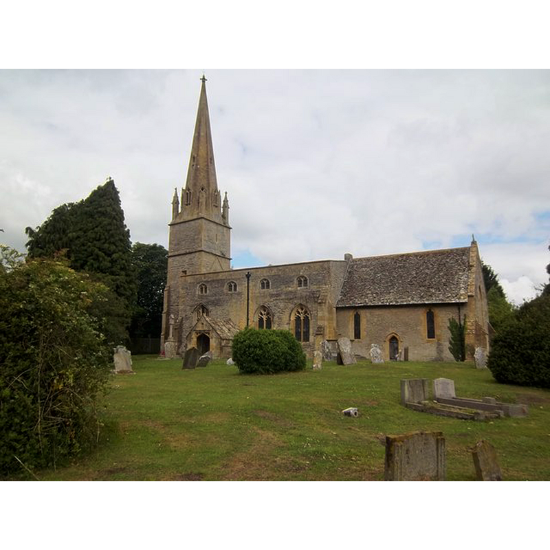
Image copyright © Michael Dibb, 2011
CC-BY-SA-2.0
Results: 2 records
view of church exterior - southeast view
Copyright Statement: Image copyright © Michael Dibb, 2011
Image Source: digital photograph taken 19 June 2011 by Michael Dibb [www.geograph.org.uk/photo/2509281] [accessed 4 November 2014]
Copyright Instructions: CC-BY-SA-2.0
view of church exterior in context
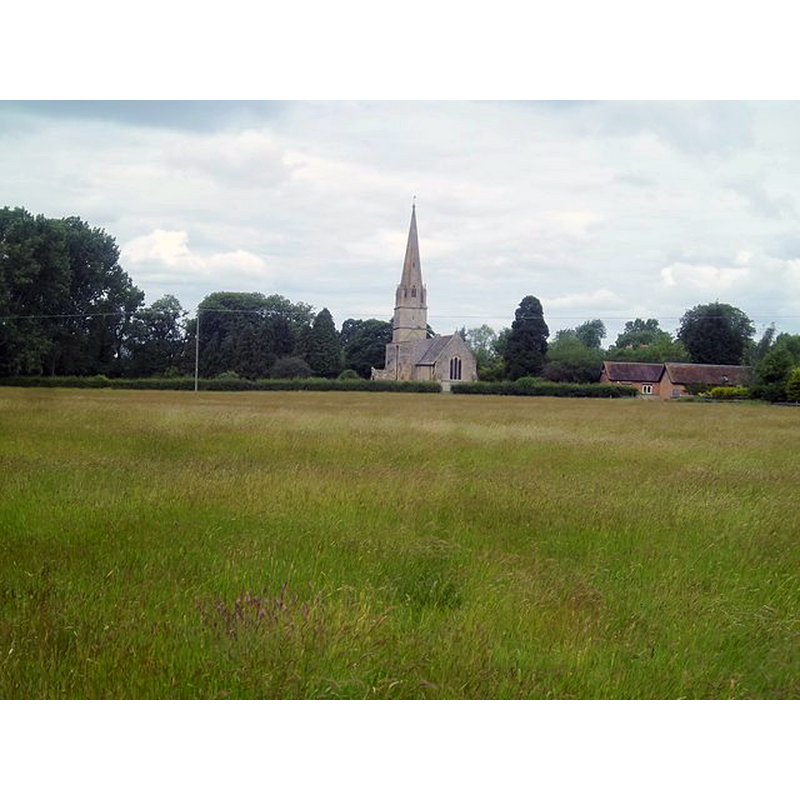
Scene Description: Source caption: "There is the faintest trace of a footpath across this field. The church of St Ecgwin and a part of Manor Farm are in the background."
Copyright Statement: Image copyright © Michael Dibb, 2011
Image Source: digital photograph taken 19 June 2011 by Michael Dibb [www.geograph.org.uk/photo/2509312] [accessed 4 November 2014]
Copyright Instructions: CC-BY-SA-2.0
INFORMATION
Font ID: 09786CHU
Object Type: Baptismal Font1
Font Century and Period/Style: 15th century, Perpendicular
Church / Chapel Name: Church of St. Ecgwyn [aka St. Egwin's] [former chapel of Evesham Abbey]
Font Location in Church: Inside the church, under the chancel arch -- reported broken by ca. 1676
Church Patron Saint(s): St. Egwin [aka Ecgwine, Ecgwyn]
Church Address: Stratford Road, Church Honeybourne, Worcestershire, WR11 7PP
Site Location: Worcestershire, West Midlands, England, United Kingdom
Directions to Site: Located in the rising hills of the Cotswolds, about 9 km E of Evesham
Ecclesiastic Region: Diocese of Gloucester
Historical Region: Hundred of Fishborough [in Domesday] -- Hundred of Blackenhurst
Additional Comments: damaged font: reported ca. 1676 as broken and not holding water / disused font
Font Notes:
Click to view
There is an entry for [Church] Honeybourne [variant spelling] in the Domesday survey [http://domesdaymap.co.uk/place/SP1144/church-honeybourne/] [accessed 4 November 2014], and it reports a priest in it without mention of a church, though there probably was one there. A report by Thomas Pickering, then vicar, written ca. 1676 informs that "the church is in all parts out of repair [...] Our font is broken and will not hold water" [source: 'Churchwardens' Presentments from the Vale of Evensham, 1660-1717', part I, by P. Braby, in 'Vale of Evesham Historical Society Research Papers (1975, vol. V: 61-69) -- website unknown / not recorded]. Noake (1848) reports: "The font is the gift of Dr. Warneford." [referring obviously to a modern replacement font]. Miller (1890) refers to Norman and 13th-century work in this church, but mentions no font in it. Both fonts are noted in Brooks & Pevsner (2007), the old one "lies under the chancel arch".
COORDINATES
Latitude & Longitude (Decimal): 52.0947, -1.8263
Latitude & Longitude (DMS): 52° 5' 40.88" N, 1° 49' 35.90" W
MEDIUM AND MEASUREMENTS
Material: stone
REFERENCES
- Brooks, Alan, Worcestershire, New Haven; London: Yale University Press, 2007, p. 383
- Miller, George [Revd.], The Parishes of the Diocese of Worcester, Birmingham: Hall & English, 1890, vol. 2: 8
- Noake, John, The rambler in Worcestershire, or, Stray notes on churches and congregations, Worcester: Published and sold by all booksellers, 1848, p. 231