Newton-upon-Ouse / Neuuetone / Newton-on-Ouse
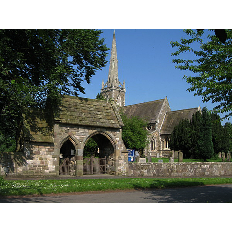
Image copyright © Ken Crosby, 2006
CC-BY-SA-2.0
Results: 2 records
view of church exterior in context - southeast view
Copyright Statement: Image copyright © Ken Crosby, 2006
Image Source: digital photograph taken 6 June 2006 by Ken Crosby [www.geograph.org.uk/photo/183447] [accessed 6 August 2019]
Copyright Instructions: CC-BY-SA-2.0
view of church interior - looking east
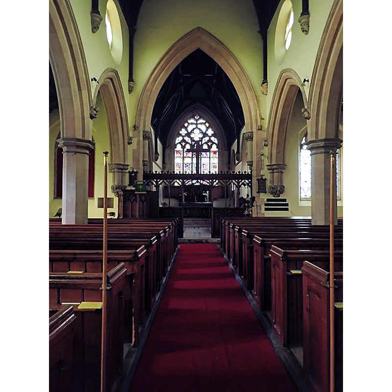
Copyright Statement: Image copyright © Eirian Evans, 2018
Image Source: digital photograph taken 30 May 2018 by Eirian Evans [www.geograph.org.uk/photo/5800286] [accessed 6 August 2019]
Copyright Instructions: CC-BY-SA-2.0
INFORMATION
Font ID: 09600NEW
Object Type: Baptismal Font1
Font Century and Period/Style: 12th century, Late Norman
Church / Chapel Name: Parish Church of St. Mary [formerly All Saints']
Font Location in Church: Reported inside the church ca. 1890
Church Patron Saint(s): St. Mary the Virgin [originally dedicated to All Saints]
Church Address: Cherry Tree Ave, Newton-on-Ouse, York YO30 2BN, UK -- Tel.: +44 1347 848605
Site Location: North Yorkshire, Yorkshire and the Humber, England, United Kingdom
Directions to Site: Located on the E banks of the Ouse river, W of the A19, 12 km NW of York
Ecclesiastic Region: Diocese of York
Historical Region: Hundred of Bulford
Font Notes:
Click to view
There is an entry for Newton [upon Ouse] [variant spelling] in the Domesday survey [https://opendomesday.org/place/SE5159/newton-upon-ouse/] [accessed 6 August 2019] but it mentions neither cleric nor church in it. Bulmer's Directory... (1890) notes: "The church (St. Mary, but originally dedicated to All Saints) is a neat Gothic structure, rebuilt, with the exception of the lower part of the tower, which belongs to the Norman period, in 1849 [...] The font is octagonal and finely carved", but no indication of the date given. Not in Pevsner (1985). The entry for this parish in the Victoria County History (York North Riding, vol. 2, 1923) notes: "The church of ALL SAINTS was, with the exception of the tower, rebuilt in 1839 [...] and again [...] ten years later (1849). The base of the tower is of the 12th century, but the rest of the building, consisting of an aisled nave of four bays, chancel and spire, is modern"; no font mentioned. The entry for this church in Historic England [Listing NGR: SE5109459935] notes: "Church. Early C12, 1849. [...] tower arch, early C12"; no font mentioned.
COORDINATES
UTM: 30U 616449 5988656
Latitude & Longitude (Decimal): 54.033, -1.222
Latitude & Longitude (DMS): 54° 1′ 58.8″ N, 1° 13′ 19.2″ W
MEDIUM AND MEASUREMENTS
Material: stone
REFERENCES
- Victoria County History [online], University of London, 1993-. URL: https://www.british-history.ac.uk.