Acaster Selby / Acastre
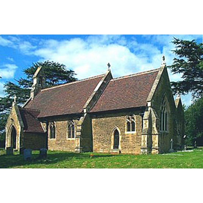
Image copyright © Bill Hennderson, 2006
CC-BY-SA-2.0
Results: 1 records
view of church exterior - southeast view
Copyright Statement: Image copyright © Bill Hennderson, 2006
Image Source: digital photograph taken in 2002 by Bil Henderson [www.geograph.org.uk/photo/229553] [accessed 21 September 2018]
Copyright Instructions: CC-BY-SA-2.0
INFORMATION
Font ID: 09577ACA
Object Type: Baptismal Font1
Font Century and Period/Style: 15th century [basin only] [composite font], Late Medieval [composite]
Church / Chapel Name: Parish Church of St. John the Evangelist [originally from Kirkham Priory?]
Font Location in Church: Inside the church
Church Patron Saint(s): St. John the Evangelist
Church Address: Back Ln, Acaster Selby YO23 7BP, UK
Site Location: West Yorkshire, Yorkshire and the Humber, England, United Kingdom
Directions to Site: Located off (W) the B1222, 11-12 km S of York (access from York down the A64, then E via Appleton Roebuck)
Ecclesiastic Region: Diocese of York
Historical Region: Hundred of Ainsty
Additional Comments: altered font? (15thC basin on 19thC base) -- disappeared font? [cf. FontNotes]
Font Notes:
Click to view
There are two entries for Acaster [Selby] [variant spelling] in the Domesday survey [http://opendomesday.org/place/SE5740/acaster-selby/] [accessed 21 September 2018], neither of which mentions cleric or church in it. Neither church nor font are mentioned in Pevsner (1986), but they are reported in Harman & Pevsner (2017): Font. Good C15 bowl on C19 stem. There may have been a second font here, now unaccounted for but mentioned in Moule (1837) as having been "at a farm, near the Gate-house, is a font, brought from the priory, which appears to be of the time of Henry VI" [i.e., 1422-1461]. A description of that second font here appears in Bulmer's 'History, Topography, and Directory of North Yorkshire' (1890): "The font is an ancient piece of Norman work, and is said to have once belonged to Kirkham Priory". [NB: Kirkham Priory, the ruins of which are located near Castle Howard, is usually dated to the 13th-14th centuries, so the claim that the font may have belonged there may be misplaced]. The entry for this church in Historic England [Listing NGR: SE5743740922] mentions a "C19 octagonal font" in this mid-19th century church. [NB: perhaps the 15th-century font, and not a Norman one, is the one from Kirkham Priory]
COORDINATES
UTM: 30U 622988 5969344
Latitude & Longitude (Decimal): 53.858, -1.13
Latitude & Longitude (DMS): 53° 51′ 28.8″ N, 1° 7′ 48″ W
MEDIUM AND MEASUREMENTS
Material: stone
REFERENCES
- Bulmer, T., History, Topography, and Directory of North Yorkshire, Comprising its Ancient and Modern History; [...], Preston: T. Bulmer & Co. (T. Snape & Co. Printers), 1890, p. 854
- Moule, Thomas, The English counties delineated; or, A topographical description of England [...], London: George Virtue, 1837 [vol. 2], vol. 2: 405