South Littleton / Litelton / Liteltune
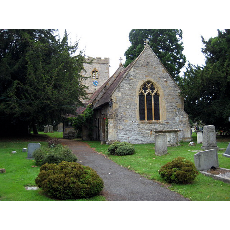
Image copyright © Philip Halling, 2010
CC-BY-SA-2.0
Results: 5 records
view of church exterior - southeast view
Copyright Statement: Image copyright © Philip Halling, 2010
Image Source: digital photograph taken 20 July 2010 by Philip Halling [www.geograph.org.uk/photo/1985519] [accessed 5 November 2014]
Copyright Instructions: CC-BY-SA-2.0
design element - motifs - arrow-head

Scene Description: a band

design element - motifs - rope moulding
symbol - cross
design element - motifs - floral - rosette - 3
INFORMATION
Font ID: 07348LIT
Object Type: Baptismal Font1
Font Century and Period/Style: 12th century, Norman
Cognate Fonts: the fonts at Bricklehampton and Bishampton [cf. FontNotes]
Church / Chapel Name: Parish Church of St. Michael [formerly St. Mary and St. Nicholas?]
Font Location in Church: Inside the church
Church Patron Saint(s): St. Michael [formerly dedicated to St. Mary & St. Nicholas?]
Church Address: Church Lane, South Littleton, Worcestershire WR11 8TU
Site Location: Worcestershire, West Midlands, England, United Kingdom
Directions to Site: Located on the B4085, 3-4 km NE of Evesham, midway between Evesham and Bidford on Avon
Ecclesiastic Region: Diocese of Worcester
Historical Region: Hundred of Fishborough [in Domesday] -- Hundred of Blackenhurst
Font Notes:
Click to view
There are two entries for [North, Middle, and South] Littleton [variant spelling] in the Domesday survey [http://domesdaymap.co.uk/place/XX0000/north-middle-and-south-littleton/] [accessed 5 November 2014], one of which reports a church in it. Miller (1890) writes; "The church at South Littleton is dedicated to St. Michael. In the old records it is dedicated to St. Mary and St. Nicholas. [...] The font is Norman." The font here is noted in Noake (1854): "Norman font, thickly encrusted in various paintings and washings; it is circular and has the cable moulding top and bottom". Listed in Cox & Harvey (1907) as a baptismal font of the Norman period. In Pevsner (1968): "Norman, round, with tapering sides. A band of arrow heads, and a rope band. Also three rosettes and a cross." Noted in the CRSBI (2014) entry for Bishampton as one of two "less complicated fonts with similar decoration at Bricklehampton and South Littleton, Worcestershire". Described in Brooks & Pevsner (2007).
COORDINATES
UTM: 30U 575978 5774306
Latitude & Longitude (Decimal): 52.114072, -1.89043
Latitude & Longitude (DMS): 52° 6′ 50.66″ N, 1° 53′ 25.55″ W
MEDIUM AND MEASUREMENTS
Material: stone
Font Shape: bucket-shaped
Basin Interior Shape: round
Basin Exterior Shape: round
REFERENCES
- Brooks, Alan, Worcestershire, New Haven; London: Yale University Press, 2007, p. 596
- Corpus of Romanesque Sculpture in Britain and Ireland, The Corpus of Romanesque Sculpture in Britain and Ireland, The Corpus of Romanesque Sculpture in Britain and Ireland. URL: http://www.crsbi.ac.uk.
- Cox, John Charles, English Church Furniture, New York: E.P. Dutton & Co., 1907, p. 227
- Noake, John, Noake's Guide to Worcestershire: the complete text, London; Worcester: Longman and Co.; J. Noake, 1868, p. 253
- Noake, John, The rambler in Worcestershire, or, Stray notes on churches and congregations, Worcester: Published and sold by all booksellers, 1848, vol. 3, p. 90
- Pevsner, Nikolaus, Worcestershire, Harmondsworth: Penguin, 1968, p. 261