Sevington / Seivetone / Seyueton
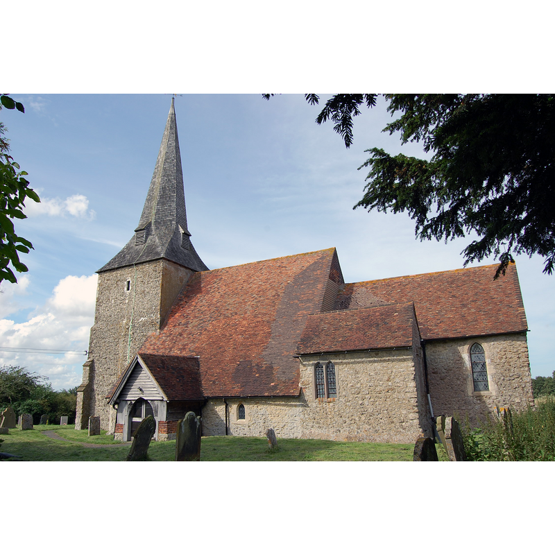
Image copyright © Julian P Guffogg, 2012
CC-BY-SA-2.5
Results: 2 records
view of church exterior - southeast view
Scene Description: Source caption: "St Mary's church, Sevington. 12th Century church with nave, chancel and south aisle and tower with broach spire of wooden shingles. Evidence of old rood loft and stairway. There are several floor brasses which are missing which dated from about 1374 to 1442. There are fragments of 14th C glass. The church was quite rural until recently when a major road skirting Ashford was built nearby. Church is locked."
Copyright Statement: Image copyright © Julian P Guffogg, 2012
Image Source: digital photograph 5 August 2012 by Julian P Guffogg [https://www.geograph.org.uk/photo/3068404] [accessed 16 January 2024]
Copyright Instructions: CC-BY-SA-2.5
view of church interior - chancel and east end
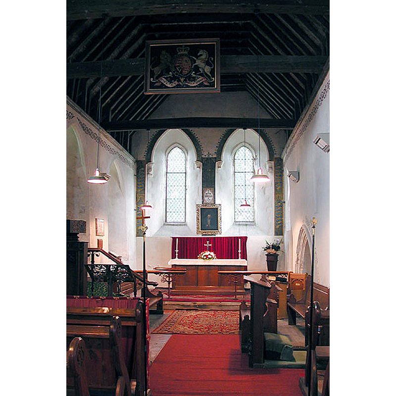
Scene Description: Source caption: "St Mary, Sevington, Kent - Chancel"
Copyright Statement: Image copyright © John Salmon, 2002
Image Source: digital photograph 7 June 2002 by John Salmon [https://www.geograph.org.uk/photo/324096] [accessed 16 January 2024]
Copyright Instructions: CC-BY-SA-2.5
INFORMATION
Font ID: 06933SEV
Object Type: Baptismal Font1
Font Century and Period/Style: 13th century, Early English
Church / Chapel Name: Parish Church of St. Mary
Font Location in Church: Inside the church
Church Patron Saint(s): St. Mary the Virgin
Church Notes: 12thC Norman church with later modifications
Church Address: Bad Munstereifel Rd, Sevington, Ashford TN24 0LD, United Kingdom -- Tel.: +44 7583 418386
Site Location: Kent, South East, England, United Kingdom
Directions to Site: Located off the A2070, 2-3 km SE of Ashford twon centre, about 30 km WNW of Dover
Ecclesiastic Region: Diocese of Canterbury
Historical Region: Hundred of Longbridge [in Domesday]
Additional Comments: disappeared font? (the one from the Domesday-time church here)
Font Notes:
Click to view
There is an entry for Sevington [variant spelling] in the Domesday survey [https://opendomesday.org/place/TR0340/sevington/] [accessed 16 January 2024]; it mentions a priest and a church in it. Glynne (1877) notes: "The font is an octagonal basin upon five shafts without capitals, the central one being the smallest, and the whole on an octagonal basement." Listed in Cox & Harvey (1907) as a baptismal font of the Early English period. The entry for this church in Historic England [Listing NGR: TR0476039251] notes: "Parish church. C12, extended C13 and C14, restored 1877 and 1936 [...] Octagonal font on 5 piers with C19 cover".
COORDINATES
UTM: 31U 353763 5666455
Latitude & Longitude (Decimal): 51.130871, 0.909964
Latitude & Longitude (DMS): 51° 7′ 51.14″ N, 0° 54′ 35.87″ E
MEDIUM AND MEASUREMENTS
Material: stone
Font Shape: octagonal, mounted
Basin Interior Shape: round
Basin Exterior Shape: octagonal
LID INFORMATION
Date: 19th century
REFERENCES
- Cox, John Charles, English Church Furniture, New York: E.P. Dutton & Co., 1907, p. 204
- Glynne, Steven Richard, Sir, Notes on the churches of Kent, London: John Murray, 1877, p. 92