Tarring Neville / East Tarring
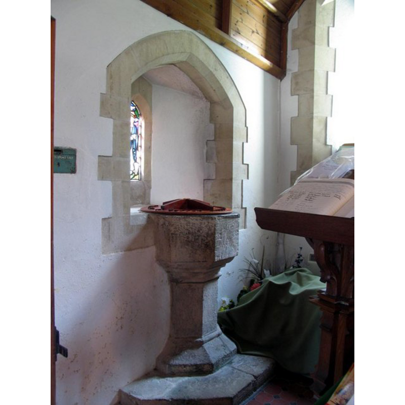
Image copyright © John Salmon, 2006
CC-BY-SA-3.0
Results: 3 records
view of font and cover in context
Scene Description: the old font, built into the wall in the 19th century [cf. FontNotes]
Copyright Statement: Image copyright © John Salmon, 2006
Image Source: digital photograph taken 10 April 2006 by John Salmon [www.geograph.org.uk/photo/1650693] [accessed 5 February 2013]
Copyright Instructions: CC-BY-SA-3.0
view of church exterior - south view
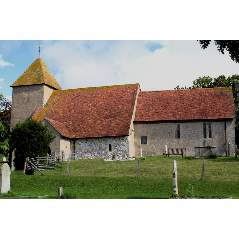
Copyright Statement: Image copyright © Mortimer Cat, 2008
Image Source: digital photograph taken 20 July 2008 by MortimerCat [http://en.wikipedia.org/wiki/File:St_Marys_Church,_Tarring_Neville.jpg] [accessed 5 February 2013]
Copyright Instructions: CC-BY-SA-3.0
view of church interior - nave - looking east
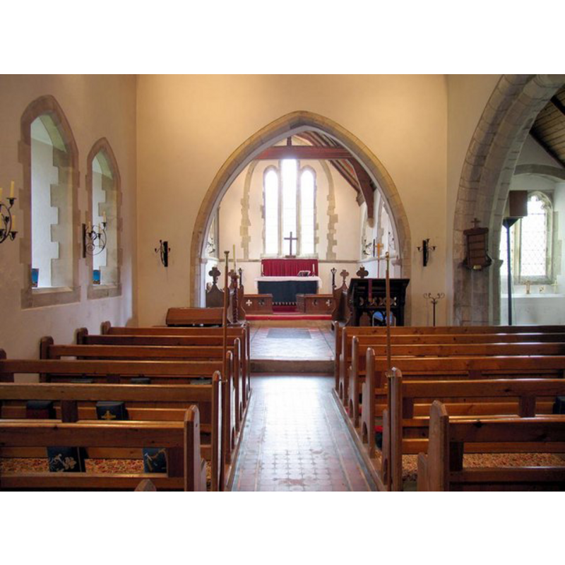
Copyright Statement: Image copyright © John Salmon, 2006
Image Source: digital photograph taken 10 April 2006 by John Salmon [www.geograph.org.uk/photo/1650707] [accessed 5 February 2013]
Copyright Instructions: CC-BY-SA-3.0
INFORMATION
Font ID: 06558TAR
Object Type: Baptismal Font1
Font Century and Period/Style: 13th - 14th century, Medieval
Church / Chapel Name: Parish Church of St. Mary
Font Location in Church: Built into a wall in the 19th century
Church Patron Saint(s): St. Mary the Virgin
Church Address: Tarring Neville, East Sussex, BN9 0JA
Site Location: East Sussex, South East, England, United Kingdom
Directions to Site: Located off the A26, 8-9 km SE of Lewes
Ecclesiastic Region: Diocese of Winchester
Additional Comments: altered font? / disused font / recycled font? (built into a wall) [cf. FontNotes]
Font Notes:
Click to view
Hussey (1852) writes: "The font is octagon, perhaps E[arly] E[nglish], and is engaged in the north wall of the church, evidently from a very early period." Harrison (1920) notes the church fabric originally from the Transitional period, and adds : "Restored in 1892 [...] The octagonal (14th c.) font was built into S[outh] wall at the restoration." Whiteman (1994), however, has: "The 14th-century octagonal font was built into the S wall in the 19th century". About hald of the embedded font protrudes out of the south wall.
COORDINATES
UTM: 31U 292098 5633436
Latitude & Longitude (Decimal): 50.815278, 0.048583
Latitude & Longitude (DMS): 50° 48′ 55″ N, 0° 2′ 54.9″ E
MEDIUM AND MEASUREMENTS
Material: stone
Font Shape: octagonal, mounted
Basin Interior Shape: round
Basin Exterior Shape: octagonal
LID INFORMATION
Date: modern
Material: wood
Apparatus: no
Notes: round with low raised ribs
REFERENCES
- Harrison, Frederick, Notes on Sussex churches, Hove: Combridges, 1920, p.
- Hussey, Arthur, Notes on the churches in the counties of Kent, Sussex, and Surrey mentioned in Domesday Book and those of more recent date [...], London: John Russell Smith, 1852, p. 295
- Whiteman, Ken, Ancient Churches of Suffolk, Seaford, East Sussex: S.B. Publications, 1998, p. 153