Stedham
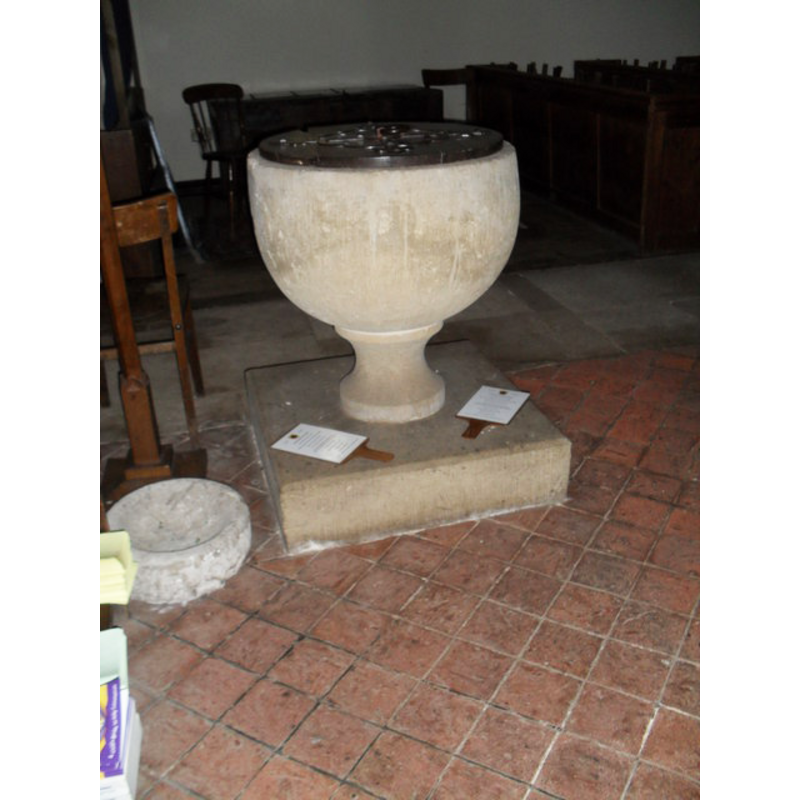
Image copyright © Basher Eyre, 2012
CC-BY-SA-3.0
Results: 3 records
view of font and cover
Scene Description: the re-cut font? [cf. FontNotes]
Copyright Statement: Image copyright © Basher Eyre, 2012
Image Source: digital photograph taken 6 March 2012 by Basher Eyre [www.geograph.org.uk/photo/1738862] [accessed 11 September 2012]
Copyright Instructions: CC-BY-SA-3.0
view of church exterior - northeast view
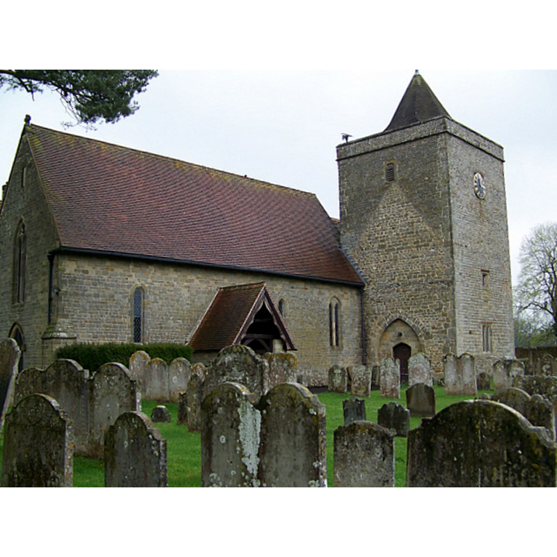
Scene Description: notice the outline of an earlier north aisle block on the east side of the tower
Copyright Statement: Image copyright © Miss Steel, 2009
Image Source: digital photograph taken 17 April 2009 by Miss Steel [www.geograph.org.uk/photo/1271584] [accessed 11 September 2012]
Copyright Instructions: CC-BY-SA-3.0
view of font and cover in context
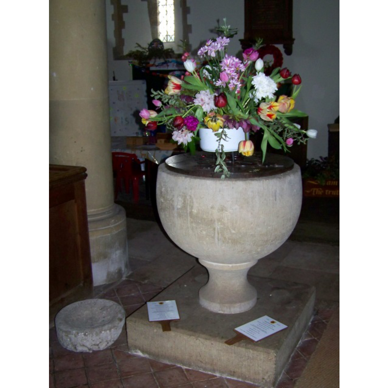
Copyright Statement: Image copyright © Miss Steel, 2009
Image Source: digital photograph taken 17 April 2009 by Miss Steel [www.geograph.org.uk/photo/1271612] [accessed 11 September 2012]
Copyright Instructions: CC-BY-SA-3.0
INFORMATION
Font ID: 06554STE
Object Type: Baptismal Font1
Font Century and Period/Style: 12th century [re-tooled], Norman [altered]
Church / Chapel Name: Parish Church of St. James
Font Location in Church: Inside the church
Church Patron Saint(s): St. James
Church Notes: "In about 1140 Reynold de Windsor with his wife Aveline (heiress and probably granddaughter of Robert fitz Tetbald) (fn. 36) confirmed to the Priory of Lewes the grant made by Aveline and her former husband Alan of the church of Stedham with the chapel of Heyshott belonging to it." cf. VCH entry in FontNotes] -- the present church is chiefly a mid-19thC re-building [cf. VCH entry...]
Church Address: Mill Lane, Stedham, West Sussex, GU29 0PR
Site Location: West Sussex, South East, England, United Kingdom
Directions to Site: Located on the A272, 3 km W of Midhurst
Ecclesiastic Region: Diocese of Chichester
Historical Region: Hundred of Easebourne -- Rape of Winchester, Sussex
Additional Comments: re-tooled font? (the present one) -- disappeared font? (the one from the Domesday-time church here?)
Font Notes:
Click to view
Harrison (1920), who notes traces of the older Norman church here, reports a "chalice-form" font of 1660 in it. The Victoria County History (Sussex, vol. 4, 1953) notes: "The church of St. James [...] is mentioned in Domesday Book [...] and probably then consisted of chancel, axial tower, and nave; the chancel was probably lengthened in the 13th century and a west porch added in the 17th. [...] The font is cup-shaped on a slender stem; it is perhaps 12th-century, but has been re-tooled. Beside it stands a shallow stone bowl, about 15 in. across, date and use unknown." Described in Whiteman (1994): "The cup-shaped font is possibly 12th-century".
COORDINATES
UTM: 30U 656469 5651802
Latitude & Longitude (Decimal): 50.996498, -0.770181
Latitude & Longitude (DMS): 50° 59′ 47.39″ N, 0° 46′ 12.65″ W
MEDIUM AND MEASUREMENTS
Material: stone
Font Shape: chalice-shaped, hemispheric, mounted
Basin Interior Shape: round
Basin Exterior Shape: round
REFERENCES
- Victoria County History [online], University of London, 1993-. URL: https://www.british-history.ac.uk.
- Harrison, Frederick, Notes on Sussex churches, Hove: Combridges, 1920, p. 192
- Whiteman, Ken, Ancient Churches of Suffolk, Seaford, East Sussex: S.B. Publications, 1998, p. 147