King's Walden / Kings Walden / Waldenei
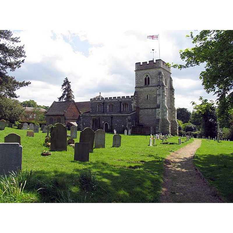
Image copyright © John Salmon, 2007
CC-BY-SA-2.0
Results: 2 records
view of church exterior - north view
Copyright Statement: Image copyright © John Salmon, 2007
Image Source: digital photograph taken 18 May 2007 by John Salmon [www.geograph.org.uk/photo/471770] [accessed 5 October 2016]
Copyright Instructions: CC-BY-SA-2.0
view of church exterior - south view
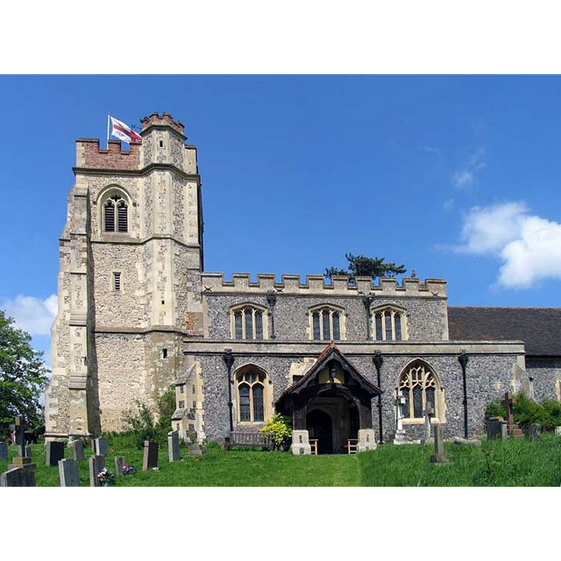
Copyright Statement: Image copyright © John Salmon, 2007
Image Source: digital photograph taken 18 May 2007 by John Salmon [www.geograph.org.uk/photo/471773] [accessed 5 October 2016]
Copyright Instructions: CC-BY-SA-2.0
INFORMATION
Font ID: 06349KIN
Object Type: Baptismal Font1, basin only
Font Century and Period/Style: 15th century, Perpendicular
Church / Chapel Name: Parish Church of St. Mary
Font Location in Church: [cf. FontNotes]
Church Patron Saint(s): St. Mary the Virgin
Church Address: Church Road, Kings Walden, Hertfordshire SG4 8JX
Site Location: Hertfordshire, East, England, United Kingdom
Directions to Site: Located half-way between Luton and Stevenage
Ecclesiastic Region: Diocese of St. Albans
Historical Region: Hundred of Hutchin
Additional Comments: lost or missing font (only the basin remains) -- disappeared font? (the one from the 11th-12thC church here)
Font Notes:
Click to view
There is an entry for [King's] Walden [variant spelling] in the Domesday survey [http://opendomesday.org/place/TL1623/kings-walden/] [accessed 5 October 2016]; it mentions a priest but not a church, though there probably was one there. The Victoria County History (Hertfordshire, vol. 3, 1912) notes: "The original church, dating from the late 11th or early 12th century, probably consisted of a nave and chancel only, now represented by the present walls of the nave, in which the nave arcades were inserted and the aisles added about 1190. The chancel as it now stands probably preserves the plan of that which was built in the 13th century, but has been very much altered. About 1380 the west tower was added, and in the 15th century the clearstory was made and the aisles were partially or wholly rebuilt. The north vestry, of brick, was built early in the 17th century, and the south porch is of the 19th century, when the walls of the whole church were refaced externally and the chancel and aisles were partly rebuilt"; there is no mention of a font in the VCH entry. Tompkins (1922) reports: "The font stands at the E. end of the S. aisle, formerly the chapel of the Virgin Mary." Described in Tyrrell-Green (1928) as the surviving basin of an old baptismal font from this church. There is no mention of a font in this church in the Englsih Heritage listing [Listing NGR: TL1602323507] (1968) either.
COORDINATES
UTM: 30U 684754 5753118
Latitude & Longitude (Decimal): 51.89815, -0.31463
Latitude & Longitude (DMS): 51° 53′ 53.34″ N, 0° 18′ 52.67″ W
MEDIUM AND MEASUREMENTS
Material: stone
Number of Pieces: [base missing]
REFERENCES
- Victoria County History [online], University of London, 1993-. URL: https://www.british-history.ac.uk.
- Tompkins, Herbert Winckworth, Hertfordshire, London: Methuen & Co., 1922, [www.guttenberg.org/files/18252/18252-8.txt]
- Tyrrell-Green, E., Baptismal Fonts Classified and Illustrated, London: Society for Promoting Christian Knowledge: The Macmillan Co., 1928, p. 40