Waterstock / Stoch
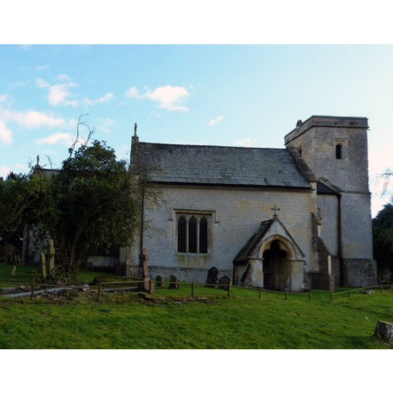
Image copyright © Rob Farrow, 2014
CC-BY-SA-2.0
Results: 3 records
view of church exterior - north view
Copyright Statement: Image copyright © Rob Farrow, 2014
Image Source: digital photograph taken 15 February 2014 by Rob Farrow [www.geograph.org.uk/photo/3852218] [accessed 31 October 2017]
Copyright Instructions: CC-BY-SA-2.0
view of church exterior - south portal
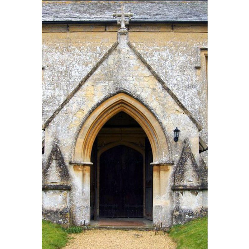
Copyright Statement: Image copyright © Steve Daniels, 2010
Image Source: digital photograph taken 13 February 2010 by Steve Daniels [www.geograph.org.uk/photo/1724848] [accessed 31 October 2017]
Copyright Instructions: CC-BY-SA-2.0
view of church exterior - south view
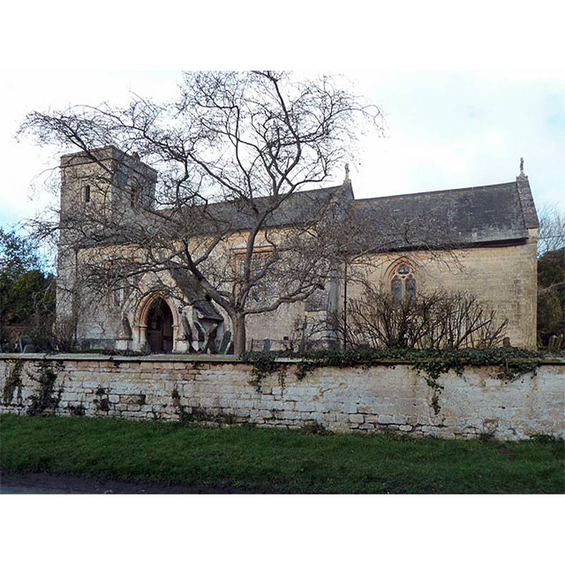
Copyright Statement: Image copyright © Robin Webster, 2014
Image Source: digital photograph taken 22 February 2014 by Robin Webster [www.geograph.org.uk/photo/3857513] [accessed 31 October 2017]
Copyright Instructions: CC-BY-SA-2.0
INFORMATION
Font ID: 06319WAT
Object Type: Baptismal Font1
Font Century and Period/Style: 12th - 13th century, Medieval
Church / Chapel Name: Parish Church of St. Leonard
Font Location in Church: A font is located in the new building, but in exactly the same location it had in the old one
Church Patron Saint(s): St. Leonard
Church Address: Waterstock, Oxfordshire, OX33 1JR, UK
Site Location: Oxfordshire, South East, England, United Kingdom
Directions to Site: Located off (N) the A40, E of the M40, WNW of Tiddington,7 km W of Thame, N of Gt Milton, E of Oxford
Ecclesiastic Region: Diocese of Oxford
Historical Region: Hundred of Thame
Font Notes:
Click to view
There is an entry for Waterstock [variant spelling] in the Domesday survey [http://opendomesday.org/place/SP6305/waterstock/] [accessed 31 October 2017], but it mentions neither priest nor church in it. The Guide to the Architectural Antiquities in the Neighbourhood of Oxford (1846) notes: "The Font is early, cylindrical, and quite plain, remaining apparently in its original position, as the drain when cleared of the obstructions in the upper part in 1829 was found to carry off the water readily, and has been regularly used to the present time". The Victoria County History (Oxford, vol. 7, 1962) notes: "The earliest evidence for the existence of Waterstock church, a rectory in Cuddesdon deanery, dates from about 1190 [...] The early medieval church was rebuilt at the end of the 15th century [...] the episcopal visitation of about 1520, when the church was found to be comparatively well cared for: the only faults noted were that the font was kept unlocked [...] a thorough restoration was carried out during 1857–8 under the direction of the architect G. E. Street [... at which time...] Parishioners gave a new pulpit, lectern, prayer desk, altar rails, and font. The medieval font, 'plain and round', had to be replaced as it no longer held water".
COORDINATES
UTM: 30U 632474 5734453
Latitude & Longitude (Decimal): 51.7453, -1.0811
Latitude & Longitude (DMS): 51° 44′ 43.08″ N, 1° 4′ 51.96″ W
MEDIUM AND MEASUREMENTS
Material: stone
Font Shape: cylindrical
Basin Interior Shape: round
Basin Exterior Shape: round
Drainage System: centre hole in basin & base
REFERENCES
- Victoria County History [online], University of London, 1993-. URL: https://www.british-history.ac.uk.
- Oxford Society for Promoting the Study of Gothic Architecture, Guide to the Architectural Antiquities in the Neighbourhood of Oxford, A, Oxford: John Henry Parker [for the Society], 1846, p. 265