Njurunda
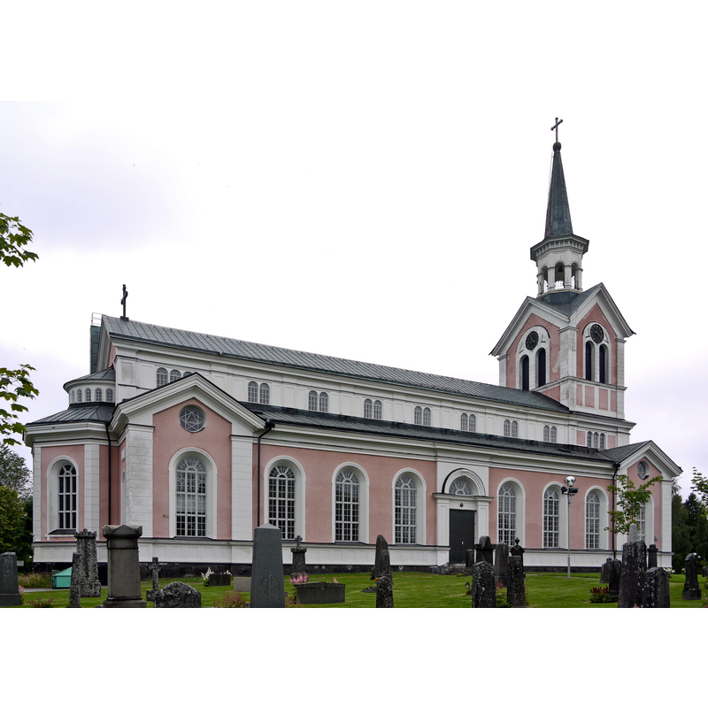
Image copyright © Xauxa [Håkan Svensson], 2010
GFDL / CC-BY-SA-3.0
Results: 4 records
view of church exterior - northeast view
Scene Description: the modern church of 1862
Copyright Statement: Image copyright © Xauxa [Håkan Svensson], 2010
Image Source: digital photograph taken 28 July 2010 by Xauxa [Håkan Svensson] [https://commons.wikimedia.org/wiki/File:Njurunda_kyrka01.jpg] [accessed 29 February 2020]
Copyright Instructions: GFDL / CC-BY-SA-3.0
view of church exterior in context
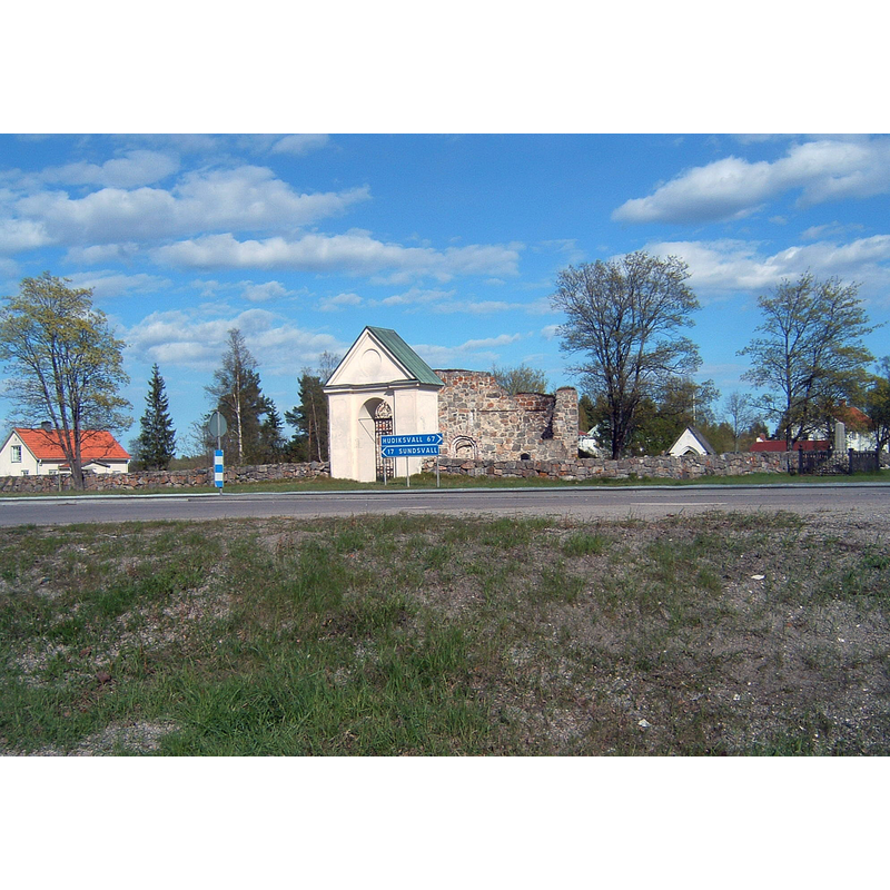
Copyright Statement: Image copyright © Hans Lindqvist, 2004
Image Source: digital photograph taken 16 May 2004 by Hans Lindqvist [https://commons.wikimedia.org/wiki/File:Njurunda_kyrkoruin_03.jpg] [accessed 29 February 2020]
Copyright Instructions: CC-BY-SA-3.0
view of church exterior - southwest view
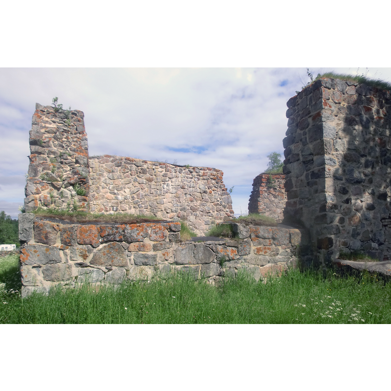
Scene Description: ruins of the medieval church
Copyright Statement: Image copyright © [in the public domain]
Image Source: digital photograph taken 15 June 2013 by Y-näsmannen [https://commons.wikimedia.org/wiki/File:Njurunda_kyrkoruin3.JPG] [accessed 29 February 2020]
Copyright Instructions: CC-Zero
view of church interior - nave - looking east

Scene Description: ruins of the medieval church
Copyright Statement: Image copyright © [in the public domain]
Image Source: digital photograph taken 15 June 2013 by Y-näsmannen [https://commons.wikimedia.org/wiki/File:Njurunda_kyrkoruin4.JPG] [accessed 29 February 2020]
Copyright Instructions: CC-Zero
INFORMATION
Font ID: 05558NJU
Object Type: Baptismal Font1, base only
Font Century and Period/Style: 13th century, Late Romanesque
Church / Chapel Name: [orig. from Njurunda gamla kyrka, now in ruins]
Font Location in Church: [only the basin remains]
Church Notes: an original 12thC chapel may have existed at Kvissle; the church itself, of which only ruins remain, dates from the 13th century and was demolished in the 1870s (a/p Sveriges kyrkor: Medelpad (Bd. I, hft. 1: 40); present church erected on new site not far south of the original in 1862
Church Address: E4, Njurundabommen, B62 02, Njurunda, Sweden
Site Location: Västernorrland, Västernorrlands län, Sweden, Europe
Directions to Site: The ruins of the old church are located off the E4, on the S bank of the Ljungar river, 17 km SSE of Sundsvall and in its municipality
Ecclesiastic Region: [Härnösands stift]
Historical Region: Njurunda tingslag, Medelpad, Västernorrlands län
Font Notes:
Click to view
Described in Sveriges kyrkor: Medelpad (Bd. I, hft. 1: 22, 40) as the surviving round base of a 13th century limestone baptismal font.
COORDINATES
UTM: 33V 623115 6906566
Latitude & Longitude (Decimal): 62.270453, 17.371978
Latitude & Longitude (DMS): 62° 16′ 13.63″ N, 17° 22′ 19.12″ E
MEDIUM AND MEASUREMENTS
Material: stone, limestone
Number of Pieces: one (basin missing)
Font Shape: missing basin
Basin Interior Shape: [missing]
Basin Exterior Shape: missing
Height of Base: 48 cm
Notes on Measurements: measurements of the surviving base: 48 x 20 cm, a/p Sveriges kyrkor: Medelpad (Bd. I, hft. 1: 22)
REFERENCES
- Cornell, Henrik, Sveriges kyrkor: Medelpad, Stockholm: Generalstabens litografiska anstalt, 1929-1939, Bd. I, hft. 1: 22, 40