Tonge / Tangas / Thwang / Tong
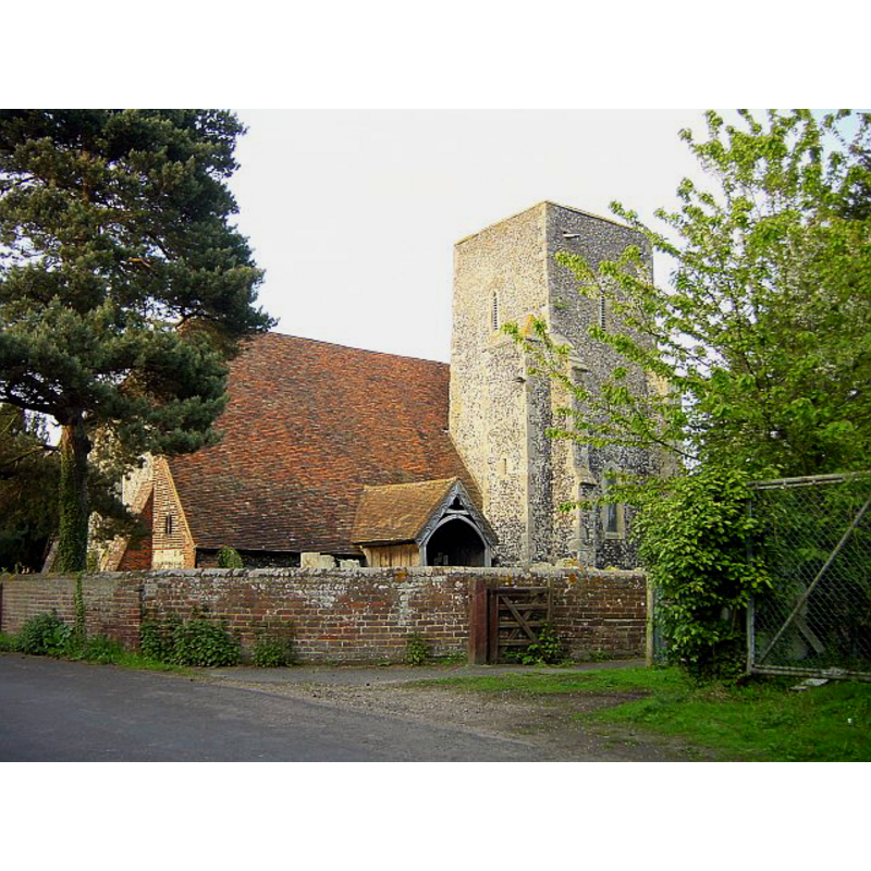
Image copyright © Oast House Archive, 2009
CC-BY-SA-3.0
Results: 1 records
view of church exterior
Copyright Statement: Image copyright © Oast House Archive, 2009
Image Source: digital photograph taken 19 August 2009 by Oast House Archive [www.geograph.org.uk/photo/1449794] [accessed 8 September 2013]
Copyright Instructions: CC-BY-SA-3.0
INFORMATION
Font ID: 05416TON
Object Type: Stoup
Font Century and Period/Style: 11th century, Pre-Conquest? / Norman
Cognate Fonts: Hucking and Sturry [cf. FontNotes]
Church / Chapel Name: Parish Church of St. Giles
Church Patron Saint(s): St. Giles [aka Aegidus, Egidus, Gilles]
Church Address: Church Road, Tonge, Kent, ME9 9AW
Site Location: Kent, South East, England, United Kingdom
Directions to Site: Located on the A2 [aka Canterbury Road], near Sittingbourne
Ecclesiastic Region: Diocese of Canterbury
Historical Region: Hundred of Milton [aka Middleton] -- Lath of Sherwinhope [aka Scray, Wiwarlet]
Additional Comments: disappeared font? (the one from the Domesday-time church here)
Font Notes:
Click to view
There is an entry for Tonge [variant spelling] in the Domesday survey [http://opendomesday.org/place/TQ9364/tonge/] [accessed 2 May 2015], and it mentions a church in it. Halsted (1798) writes: "William the Conqueror, on his obtaining the crown, [...] gave both castle and manor to his half-brother Odo, bishop of Baieux, among other great possessions; accordingly it is thus described in the book of Domesday, under the general title of the bishop's lands: The same Hugo (de Port) holds of the bishop (of Baieux) Tangas. It was taxed at two sulings. The arable land is two carucates. In demesne there are two, and five villeins with one carucate. There is a church, and four servants, and one mill of eight shillings. Wood for the pannage of four hogs. [...] There is no village, the church stands about a mile northward from the road [...] The church, which is dedicated to St. Giles, consists of one large and two narrow side isles, and has a tower steeple on the south side, in which are three bells." Bond (1908) writes of as one of several stoups (?) in Kent "close to the western side of one of the western piers; and just above the rim of the font, a deep, spherical triangle, or other shape is worked in the pier at Tonge, Hucking and Sturry." Glynne (1877) does not mention the stoup, but describes the font: "The font has a circular bowl, on octagonal stem -- seems new". [NB: we have no information on the medieval font of this church]
COORDINATES
UTM: 31U 345062 5690227
Latitude & Longitude (Decimal): 51.342177, 0.775422
Latitude & Longitude (DMS): 51° 20′ 31.84″ N, 0° 46′ 31.52″ E
REFERENCES
- Bond, Francis, Fonts and Font Covers, London: Waterstone, 1985 c1908, p. 71
- Glynne, Steven Richard, Sir, Notes on the churches of Kent, London: John Murray, 1877, p. 197
- Hasted, Edward, The History and topographical survey of the County of Kent [...], Canterbury: Printed for the author, by Simmons and Kirkby, 1778-, vol. 6: 132-143 / [www.british-history.ac.uk/report.aspx?compid=62954] [accessed 8 September 2013]