Penderyn
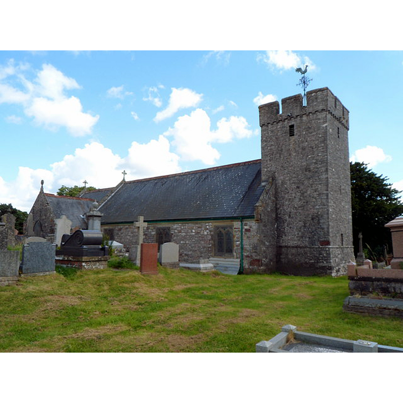
Image copyright © Jaggery, 2012
CC-BY-SA-2.0
Results: 3 records
view of church exterior - northwest view
Scene Description: Source caption: "St Cynog's Church, Penderyn. This view of the northern side of the church shows the medieval tower, the oldest part of the Grade II listed church, [...] most of which was rebuilt in the late 19th century"
Copyright Statement: Image copyright © Jaggery, 2012
Image Source: digital photograph taken 22 July 2012 by Jaggery [www.geograph.org.uk/photo/3060194] [accessed 24 April 2016]
Copyright Instructions: CC-BY-SA-2.0
view of church exterior in context - southeast view
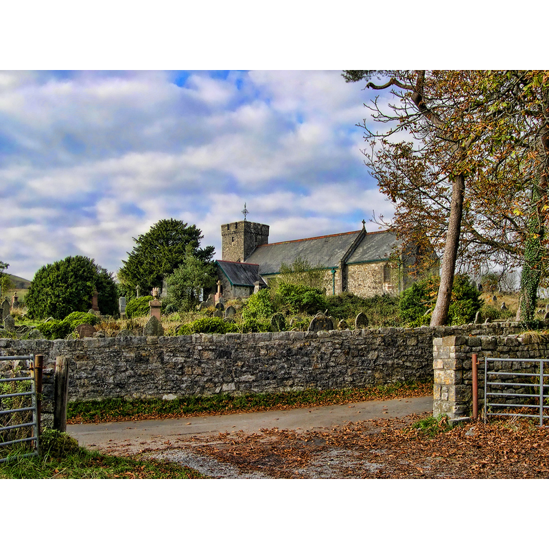
Copyright Statement: Image copyright © crlewis, 2011
Image Source: photograph taken in 2007 by crlewis [www.geograph.org.uk/photo/2647755] [accessed 24 April 2016]
Copyright Instructions: CC-BY-SA-2.0
design element - motifs - snow-flake

Scene Description: a/o description in Newman (1995)

INFORMATION
Font ID: 04411PEN
Object Type: Stoup
Church / Chapel Name: Church of St. Cynog
Font Location in Church: By the S door
Church Wikidata: https://www.wikidata.org/wiki/Q29495593
Church Patron Saint(s): St. Cynog [aka Canog, Cynog ap Brychan, Kennauc, Mocheanog]
Church Notes: there may have been a church here since the 7thC; burned down 12th-13thC; restored 19thC
Church Address: Church Road, Penderyn, Aberdare, Glamorgan, Wales, CF44 9JR
Site Location: Vale of Glamorgan, Wales, United Kingdom
Directions to Site: Located 30 km from Cardiff, 40 km from Swansea -- "Standing isolated on a spur of Moel Penderyn" (Newman (1995))
Ecclesiastic Region: Diocese of Swansea and Brecon
Historical Region: Glamorgan
Additional Comments: disappeared font? (the one from the early-medieval (?) church here)
Font Notes:
Click to view
Holy-water stoup described in Newman (1995) as "medieval, polygonal, chip-carved with snowflake patterns." [NB: we do not have any information on the font here; it is probably a 19th-century replacement]
COORDINATES
Latitude & Longitude (DMS): 51° 45' 56" N, 3° 31' 49" W
MEDIUM AND MEASUREMENTS
Material: stone
Font Shape: polygonal
Basin Exterior Shape: polygonal
REFERENCES
- Newman, John, Glamorgan (Mid Glamorgan, South Glamorgan and West Glamorgan), London: Penguin Books; University of Wales Press, 1995, p. 500