Loisail / Loiseel / Loisellum / Loydsel / Loyseel
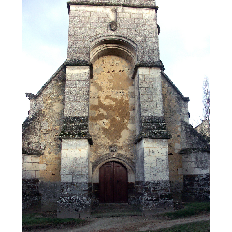
Image copyright © Unozoe, 2006
CC-BY-SA-3.0
Results: 2 records
view of church exterior - west façade
Copyright Statement: Image copyright © Unozoe, 2006
Image Source: digital photograph taken February 2006 by Unozoe [https://commons.wikimedia.org/wiki/File:Loisail,_Orne,_église_Saint_Martin_bu_209_l.jpg] [accessed 14 July 2016]
Copyright Instructions: CC-BY-SA-3.0
view of church exterior - north view
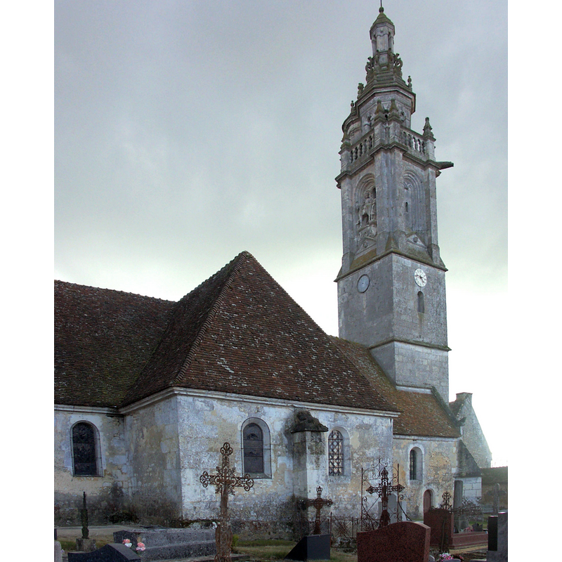
Scene Description: Source caption: "Dans la première moitié du 17e s une tour-clocher (CMH 1905) et deux chapelles latérales embellissent l’église à l’origine romane. Vue du nord."
Copyright Statement: Image copyright © Unozoe, 2006
Image Source: digital photograph taken February 2006 by Unozoe [https://commons.wikimedia.org/wiki/File:Loisail,_Orne,_église_Saint_Martin_bu_212.jpg] [accessed 14 July 2016]
Copyright Instructions: CC-BY-SA-3.0
INFORMATION
Font ID: 04296LOI
Object Type: Baptismal Font1
Font Century and Period/Style: 17th - 18th century
Church / Chapel Name: Église paroissiale Saint-Martin
Church Patron Saint(s): St. Martin of Tours
Church Notes: church listed in Mérimée [ref.: PA00110835] as 16thC
Church Address: 4 Le Bourg, 61400 Loisail, France
Site Location: Orne, Normandie, France, Europe
Directions to Site: Located off (E) the D9, on the D272, 5 km SE of Mortagne-au-Perche, 15 km W of Longny-au-Perche, 17 km N of Bellême, 18 km NW of Rémalard, 35 km ENE of Alençon
Historical Region: Bassin de Mortagne-au-Perche, Perche ornais, Basse-Normandie
Additional Comments: disappeared font? (the original church was probably dated 12thC)
Font Notes:
Click to view
Described in the Dictionnaire des églises... (1966- ) simply as a curious baptismal font of the 17th-18th century.
COORDINATES
UTM: 31U 322073 5374733
Latitude & Longitude (Decimal): 48.5005, 0.591298
Latitude & Longitude (DMS): 48° 30′ 1.8″ N, 0° 35′ 28.67″ E
REFERENCES
- Dictionnaire des églises de France, Belgique, Luxembourg, Suisse, Paris: R. Laffont, 1966-, IV B 97