Munchouse / Münchhausen / Münchhusen / Münchusen / Munckhausen / Munckuszen
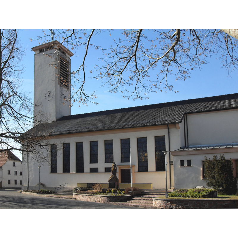
Image copyright © Rauenstein, 2011
CC-BY-SA-3.0,2.5,2.0,1.0
Results: 4 records
view of church exterior - south view
Scene Description: the modern church replaced the one destroyed in 1945
Copyright Statement: Image copyright © Rauenstein, 2011
Image Source: digital photograph taken 6 February 2011 by Rauenstein [https://commons.wikimedia.org/wiki/File:Munchhouse,_Eglise_Sainte-Agathe_2.jpg] [accessed 12 December 2019]
Copyright Instructions: CC-BY-SA-3.0,2.5,2.0,1.0
angel - cherub

Scene Description: one on each side of the basin

design element - patterns - ribbed
design element - motifs - foliage
INFORMATION
Font ID: 03809MUN
Object Type: Baptismal Font1
Font Century and Period/Style: 16th century
Church / Chapel Name: Église paroissiale Sainte-Agathe
Font Location in Church: Inside the modern church
Church Patron Saint(s): St. Agatha [aka Agata, Agatha of Sicily, Agueda]
Church Notes: The early church from which this font originates was destroyed in the Thirty-Year War; the font has survived three churches, the last of which destroyed by French bombs in 1945 (Patrimoine..., Haut-Rhin, 1998, v. 1, p. 364) -- Base Mérimée [reference IA00074293]
Church Address: place de l'Eglise, 68740 Munchouse, France
Site Location: Haut-Rhin, Grand Est, France, Europe
Directions to Site: In the canton d'Ensisheim and 8 km ENE of it, 15 km NNE of Mulhouse
Ecclesiastic Region: Diocèse de Strasbourg
Historical Region: Alsace
Font Notes:
Click to view
Polygonal (octagonal?) mounted font with a wide upper rim. There is a large cherub on each of the basin side panels. The underbowl has a ribbed pattern; the base stem is of the bulbous variety and ornamented with foliage. It is raised on a short octagonal plinth. (Le patrimoine des communes du Haut-Rhin, 1998, v. 1, p. 364)
COORDINATES
UTM: 32T 384209 5302873
Latitude & Longitude (Decimal): 47.868747, 7.451658
Latitude & Longitude (DMS): 47° 52′ 7.49″ N, 7° 27′ 5.97″ E
MEDIUM AND MEASUREMENTS
Material: stone, sandstone (pink)
Font Shape: octagonal, mounted
Basin Exterior Shape: octagonal
REFERENCES
- Le Patrimoine des communes du Haut-Rhin, Charenton-le-Pont: FLOHIC, 1998, vol. 1, p. 364