Barenton
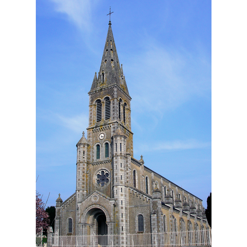
Image copyright © Ikmo-ned, 2009
GFDL / CC-BY-SA-3.0,2.5,2.0,1.0
Results: 3 records
view of church exterior - southwest view
Scene Description: Source caption: "Barenton (Normandie, France). L'église."
Copyright Statement: Image copyright © Ikmo-ned, 2009
Image Source: digital photograph 1 April 2009 by Ikmo-ned [https://commons.wikimedia.org/wiki/File:FranceNormandieBarentonEglise.jpg] [accessed 5 February 2022]
Copyright Instructions: GFDL / CC-BY-SA-3.0,2.5,2.0,1.0
view of church interior - looking west
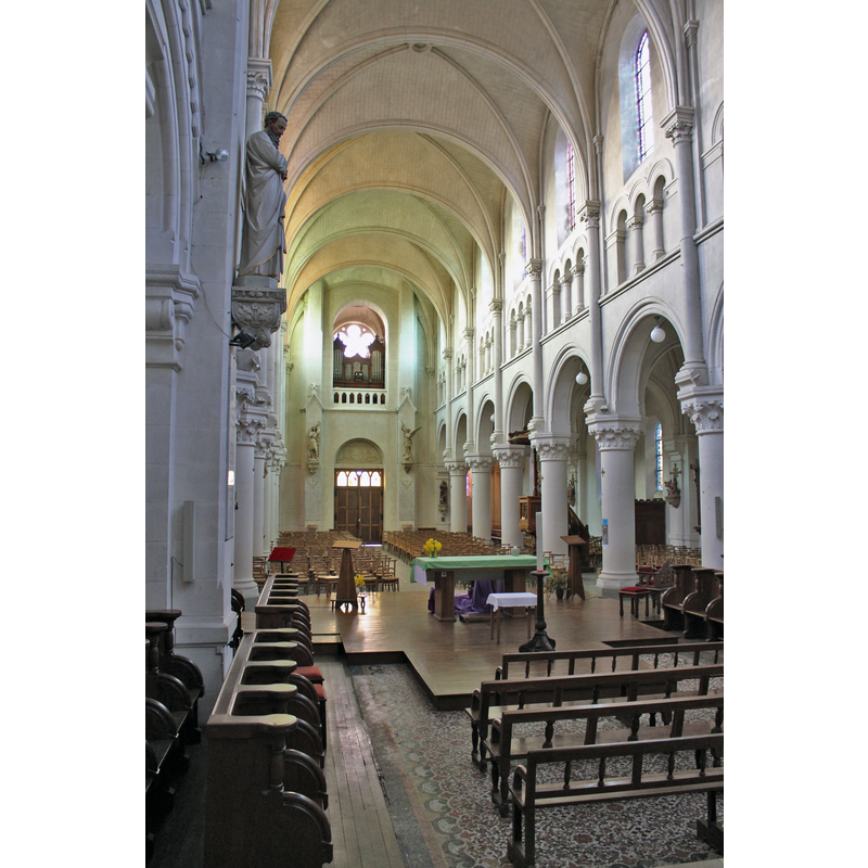
Copyright Statement: Image copyright © Xfigpower, 2016
Image Source: digital photograph 13 March 2016 by Xfigpower [https://commons.wikimedia.org/wiki/File:Église_Notre-Dame-de-l'Assomption_de_Barenton_-_Nef_(2).jpg] [accessed 5 February 2022]
Copyright Instructions: CC-BY-SA-3.0
view of church interior - looking east
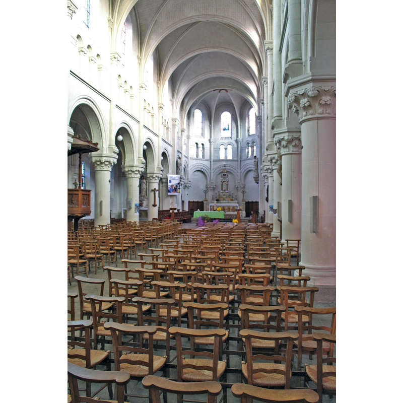
Scene Description: Source caption: " Barenton, Manche"
Copyright Statement: Image copyright © Xfigpower, 2016
Image Source: digital photograph 13 March 2016 by Xfigpower [https://commons.wikimedia.org/wiki/File:Église_Notre-Dame-de-l'Assomption_de_Barenton_-_Nef.jpg] [accessed 5 February 2022]
Copyright Instructions: CC-BY-SA-3.0
INFORMATION
Font ID: 03343BAR
Object Type: Baptismal Font1
Font Date: 1542
Font Century and Period/Style: 16th century(mid), Renaissance
Church / Chapel Name: Église Notre-Dame-de-l'Assomption de Barenton
Font Location in Church: Inside the church, against the wall
Church Patron Saint(s): The Assumption of St. Mary
Church Address: 38 rue Monteglise, 50720 Barenton, France
Site Location: Manche, Normandie, France, Europe
Directions to Site: Located off the D36-D490 crossroads, 9 km SE of Mortain-Bocage, 35-40 km NE of Fougères
Ecclesiastic Region: Diocèse of Coutances et Avranches
Historical Region: Basse Normandie
Additional Comments: *** WE ARE NOT ABSOLUTELY SURE THAT THE FONT IS IN THIS CHURCH -- IT COULD ALTERNATIVELY BE IN THE 17thC Chapelle Notre-Dame-de-Bonté est un édifice catholique de la Manche situé à Montéglise***
Font Notes:
Click to view
According to Vivier-Seguin this goblet-shaped font, whose basin is ornamented with arches and an inscription bearing the date 1542, is only h half-font now, against the wall which gives the appearence of it being embeded in it; V-S write that this elegant font was used by the saintly Pierre Crestey, parish priest at Barenton between 1678 and 1703, and in it the visionary Catherine Théot, "qui eut son heure de célébrité à l'époque révolutionnaire", was baptised (Vivier, 1941)
COORDINATES
UTM: 30U 659762 5385261
Latitude & Longitude (Decimal): 48.600028, -0.832972
Latitude & Longitude (DMS): 48° 36′ 0.1″ N, 0° 49′ 58.7″ W
MEDIUM AND MEASUREMENTS
Material: stone, granite (Vivier-Seguin)
Font Shape: chalice-shaped
Basin Exterior Shape: round
INSCRIPTION
Inscription Location: On the basin side
Inscription Text: Mostly illegible, except for "1542"
Inscription Notes: Reported illegible ca. 1941 except for the date "1542"
Inscription Source: Vivier-Seguin in BIB491, p. 78
REFERENCES
- Vivier, Em., Les Anciens fonts baptismaux du Département de la Manche, Avranches: Presses de "L'Opinion de la Manche", 1941, p. 78