Saint-Jean-des-Champs / Saint Jehan / Sancti Johannis de Campis
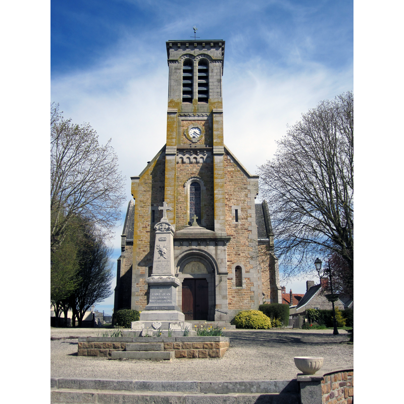
Image copyright © Xfigpower, 2013
CC-BY-SA-3.0
Results: 2 records
view of church exterior - west view
Scene Description: Source caption: "Saint-Jean-des-Champs, Manche"
Copyright Statement: Image copyright © Xfigpower, 2013
Image Source: digital photograph 21 April 2013 by Xfigpower [https://commons.wikimedia.org/wiki/File:Église_Saint-Jean_de_Saint-Jean-des-Champs.JPG] [accessed 10 October 2023]
Copyright Instructions: CC-BY-SA-3.0
view of church interior - looking east
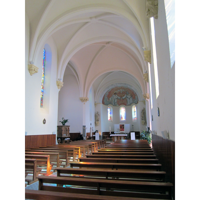
Scene Description: Source caption: "Saint-Jean-des-Champs, Manche"
Copyright Statement: Image copyright © Xfigpower, 2013
Image Source: digital photograph 21 April 2013 by Xfigpower [https://commons.wikimedia.org/wiki/File:Église_Saint-Jean_de_Saint-Jean-des-Champs_-_Nef.JPG] [accessed 10 October 2023]
Copyright Instructions: CC-BY-SA-3.0
INFORMATION
Font ID: 03315JEA
Object Type: Baptismal Font1
Font Century and Period/Style: 15th century [Le Héricher], Gothic
Cognate Fonts: the font at nearby Saint-Léger [cf. FontNotes]
Church / Chapel Name: [formerly at the église paroissiale]
Font Location in Church: [disappeared]
Church Notes: 12th-13thC church burned down 1869; re-built thereafter -- Font disappeared
Church Address: [NB: address & coordinates are for the 19thC church] 2 Pl. de la Mairie, 50320 Saint-Jean-des-Champs, France
Site Location: Manche, Normandie, France, Europe
Directions to Site: Saint-Jean-des-Champs is located off the D151, about 10 km E of Granville, 20 km N of Avranches
Ecclesiastic Region: Diocèse de Coutances et Avranches
Font Notes:
Click to view
Vivier-Seguin (1941) report the font here as disappeared, and quote Le Héricher's description: elegant baptismal font of the 15th century is similar to the one at St-Léger and has a tall round base; the basin sides are embroidered with arabesques and have angles with open wings on the four sides; there was an inscription but it has been mutilated.
COORDINATES
UTM: 30U 612672 5409442
Latitude & Longitude (Decimal): 48.827726, -1.464812
Latitude & Longitude (DMS): 48° 49′ 39.82″ N, 1° 27′ 53.32″ W
MEDIUM AND MEASUREMENTS
Material: stone, type unknown
Font Shape: square, mounted
Basin Exterior Shape: square
REFERENCES
- Vivier, Em., Les Anciens fonts baptismaux du Département de la Manche, Avranches: Presses de "L'Opinion de la Manche", 1941, p. 62