Grigny nr. Parenty / Gregni / Grinni / Grynni
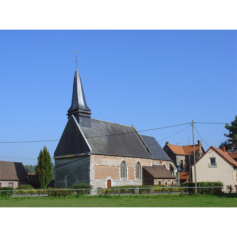
Image copyright © Thadée Szalamacha, 2007
CC-BY-SA-3.0
Results: 1 records
view of church exterior - southwest view
Scene Description: Source caption: "Église de Grigny" -- the new church of 1677; it replaced the medieval church on a new site
Copyright Statement: Image copyright © Thadée Szalamacha, 2007
Image Source: digital photograph 7 October 2007 by Thadée Szalamacha [https://commons.wikimedia.org/wiki/File:Grigny_église4.jpg] [accessed 25 November 2023]
Copyright Instructions: CC-BY-SA-3.0
INFORMATION
Font ID: 03155GRI
Object Type: Baptismal Font1
Font Century and Period/Style: 12th century [Enlart], Romanesque
Church / Chapel Name: Église paroissiale Sainte-Gertrude
Font Location in Church: Inside the church, NW corner
Church Patron Saint(s): St. Gertrude the Great [aka Gertrud die Große von Helfta, Gertrude of Helfta, Gertrudis]
Church Notes: original medieval church re-built on a new site in 1677
Church Address: 33 Rue de l'Église, 62140 Grigny, France
Site Location: Pas-de-Calais, Hauts-de-France, France, Europe
Directions to Site: Located off the D94, 2-3 km NE of Hesdin, about 45 km SE of Boulogne-s-Mer, near Parenty.
Ecclesiastic Region: Diocese d'Arras
Historical Region: L'Artois, Picardie
Additional Comments: re-cycled / re-purposed measure [cf. FontNotes]
Font Notes:
Click to view
Listed by Enlart (1902) as a 12th century square mounted font with a five-column base. The listing for the font at Grigny in Palissy [ref.: PM62003153], however, describes it as an ancient measure made of sandstone, raised on a square pedestal base ["Fonts baptismaux en grès (ancienne mesure) sur un pilier carré [...] Dans le fond côté nord. [...] H = 105." [NB: it is possible that the discrepancy in the description of the font be due to a mis-identification of Grigny, as there are three such localities with churches in the northwest of France -- TBR]
COORDINATES
UTM: 31U 433578 5581758
Latitude & Longitude (Decimal): 50.38412, 2.06572
Latitude & Longitude (DMS): 50° 23′ 2.83″ N, 2° 3′ 56.59″ E
MEDIUM AND MEASUREMENTS
Material: stone, sandstone
Font Shape: square, mounted
Basin Interior Shape: round
Basin Exterior Shape: square
Font Height (less Plinth): 105 cm*
Notes on Measurements: *Palissy [ref.: PM62003153]
REFERENCES
- Enlart, Camille, Manuel d'archéologie française depuis les temps mérovingiens jusqu'à la Renaissance, Paris: Alphonse Picard & fils, 1902, p. 777 footnote 3