Montreuil-Bellay
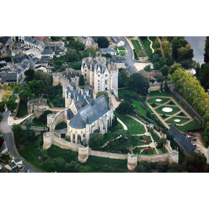
Image copyright © Lieven Smits, 2009
GFDL / CC-BY-SA-3.0,2.5,2.0,1.0
Results: 3 records
view of church exterior in context - northeast view
Scene Description: the church in the context of the castle compound
Copyright Statement: Image copyright © Lieven Smits, 2009
Image Source: digital photograph [edited] taken 10 October 2009 by Lieven Smits [https://commons.wikimedia.org/wiki/File:Montreuil-Bellay_castle,_aerial_view.jpg] [accessed 23 July 2017]
Copyright Instructions: GFDL / CC-BY-SA-3.0,2.5,2.0,1.0
view of church interior - nave - looking west
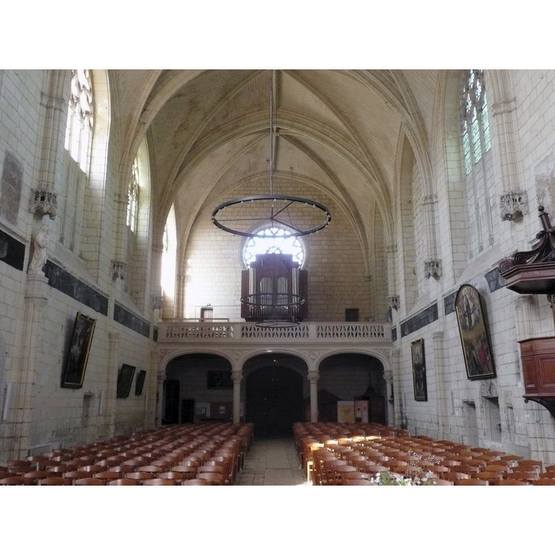
Copyright Statement: Image copyright © Kormin, 2011
Image Source: digital photograph taken 23 September 2011 by Kormin [https://commons.wikimedia.org/wiki/File:Montreuil_Bellay_-_Eglise_St_Jean_8.jpg] [accessed 23 July 2017]
Copyright Instructions: CC-BY-SA-3.0
view of church interior - nave - looking east
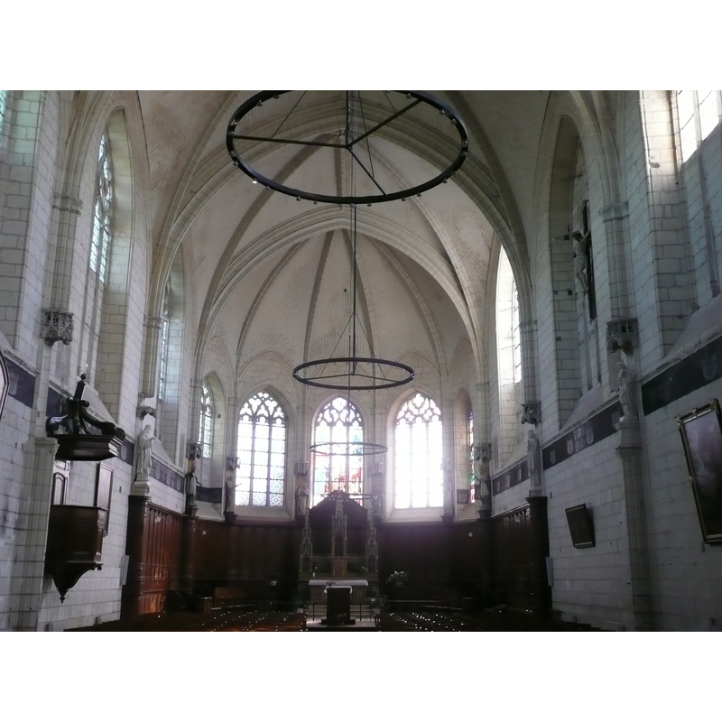
Copyright Statement: Image copyright © Kormin, 2011
Image Source: digital photograph taken 23 September 2011 by Kormin [https://commons.wikimedia.org/wiki/File:Montreuil_Bellay_-_Eglise_St_Jean_4.jpg] [accessed 23 July 2017]
Copyright Instructions: CC-BY-SA-3.0
INFORMATION
Font ID: 03024MON
Object Type: Baptismal Font1
Font Century and Period/Style: 15th century, Medieval
Church / Chapel Name: Église paroissiale [ancienne chapelle du château] Notre-Dame
Font Location in Church: Inside the c hurch
Church Notes: church, chapel of the medieval castle here, listed in Mérimée [ref.: PA00109197]
Church Address: 40 rue des Ermites, Montreuil-Bellay, France
Site Location: Maine-et-Loire, Pays de la Loire, France, Europe
Directions to Site: Located off the D77-D347-D938 crossroads, 25 km NW of Loudun up the N147, 16 km S of Saumur down the same road.
Ecclesiastic Region: Diocèse d'Angers
Historical Region: Le Saumurois
Additional Comments: disappeared font? (the one from the earlier [Romanesque?] castle chapel here)
Font Notes:
Click to view
LIsted by Enlart (1902) in a group of difficult to date fonts.
COORDINATES
UTM: 30T 715741 5223882
Latitude & Longitude (Decimal): 47.1331, -0.1551
Latitude & Longitude (DMS): 47° 7′ 59.16″ N, 0° 9′ 18.36″ W
MEDIUM AND MEASUREMENTS
Material: stone, type unknown
Font Shape: unknown
Basin Exterior Shape: Unknown
REFERENCES
- Enlart, Camille, Manuel d'archéologie française depuis les temps mérovingiens jusqu'à la Renaissance, Paris: Alphonse Picard & fils, 1902, p. 775 footnote 1