Farnham Royal / Farnham Verdon / Ferneham
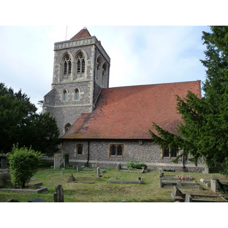
Image copyright © Kevin White, 2009
CC-BY-SA-2.0
Results: 3 records
view of church exterior - south view
Copyright Statement: Image copyright © Kevin White, 2009
Image Source: digital photograph taken 21 September 2009 by Kevin White [www.geograph.org.uk/photo/1501920] [accessed 2 November 2015]
Copyright Instructions: CC-BY-SA-2.0
view of church exterior - northwest view
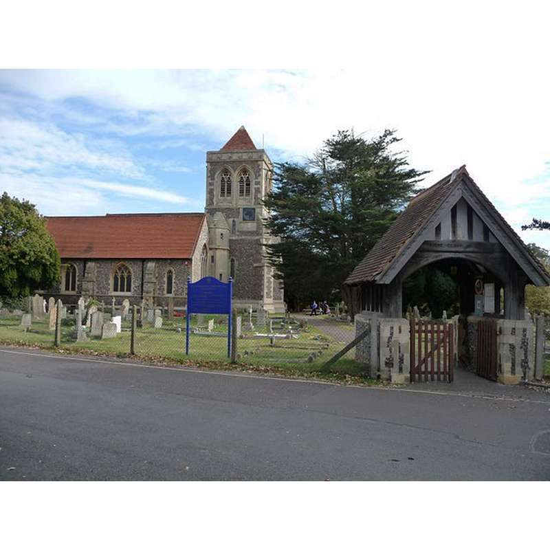
Copyright Statement: Image copyright © Kevin White, 2009
Image Source: digital photograph taken 21 September 2009 by Kevin White [www.geograph.org.uk/photo/1501630] [accessed 2 November 2015]
Copyright Instructions: CC-BY-SA-2.0
symbol - shield
![[cf. FontNotes]](/static-50478a99ec6f36a15d6234548c59f63da52304e5/others/image_not_available.jpg)
Scene Description: [cf. FontNotes]
![[cf. FontNotes]](/static-50478a99ec6f36a15d6234548c59f63da52304e5/bsi-testing-site/others/image_not_available.jpg)
INFORMATION
Font ID: 01348FAR
Object Type: Baptismal Font1
Font Century and Period/Style: 14th - 15th century, Perpendicular
Workshop/Group/Artisan: heraldic font
Cognate Fonts: The font at Langley, in the same county
Church / Chapel Name: Parish Church of St. Mary the Virgin
Font Location in Church: Inside the church [cf. FontNotes]
Church Patron Saint(s): St. Mary the Virgin
Church Address: Church Road, Farnham Royal, Buckinghamshire, SL2 3AW
Site Location: Buckinghamshire, South East, England, United Kingdom
Directions to Site: Located 3-4 km NW of Slough, 5 km N of Eton
Ecclesiastic Region: Diocese of Oxford
Historical Region: Hundred of Burnham
Additional Comments: disappeared font? (the one from the 12th- or 13th-century church?) -- unable to locate any images for this font so far (Nov. 2015); not clear whether the font noted in Sheahan is late-Medieval or a badly-kept early-19thC one
Font Notes:
Click to view
There is an entry for Farnham [Royal] [variant spelling] in the Domesday survey [http://opendomesday.org/place/SU9683/farnham-royal/] [accessed 2 November 2015], but it mentions neither cleric nor church in it. The Lysons (1806-1833) report an octagonal baptismal font decorated with quatrefoils in this church. Sheahan (1862) describes the church here as "a plain Gothic structure" from a 1821 re-building of an earlier Early English building; the font, Sheahan (ibid.) adds, "is large and ancient, with carved shields and quatrefoils in the panels". With such decoration the font could not be from the original church and, if Sheahan is corrrect in assigning an "ancient" age to the font, it must date from the late-Medieval period, the 14th or 15th century. No font is mentioned in the entry for this church in the RCAHM (Buckinghamshire, 1912), or in the entry for Farnham Royal in the Victoria County History (Buckingham, vol. 3, 1925), but the VCH notes a date in the 12th century for the chancel of the church.
COORDINATES
UTM: 30U 665390 5712036
Latitude & Longitude (Decimal): 51.535164, -0.615303
Latitude & Longitude (DMS): 51° 32′ 6.59″ N, 0° 36′ 55.09″ W
MEDIUM AND MEASUREMENTS
Material: stone, type unknown
Font Shape: octagonal, mounted
Basin Interior Shape: round
Basin Exterior Shape: octagonal
REFERENCES
- Victoria County History [online], University of London, 1993-. URL: https://www.british-history.ac.uk.
- Lysons, Daniel, Magna Britannia, being a concise topographical account of the several counties of Great Britain, London: Printed for T. Cadell and W. Davies, 1806-1822, vol. I: p. 489
- Sheahan, James Joseph, History and topography of Buckinghamshire, comprising a general survey of the county, preceded by an epitome of the early history of Great Britain, London; Pontefract: Longman, Green, Longman, and Roberts; William Edward Bonas [...], 1862, p. 848